


The southern storm track has become active and that is setting the stage for some heavy rainfall just to our north extending into midday on Friday. Models are indicating a 2-3"+ bullseye just to our north, but many of you north of Lake P. could receive 1-2".


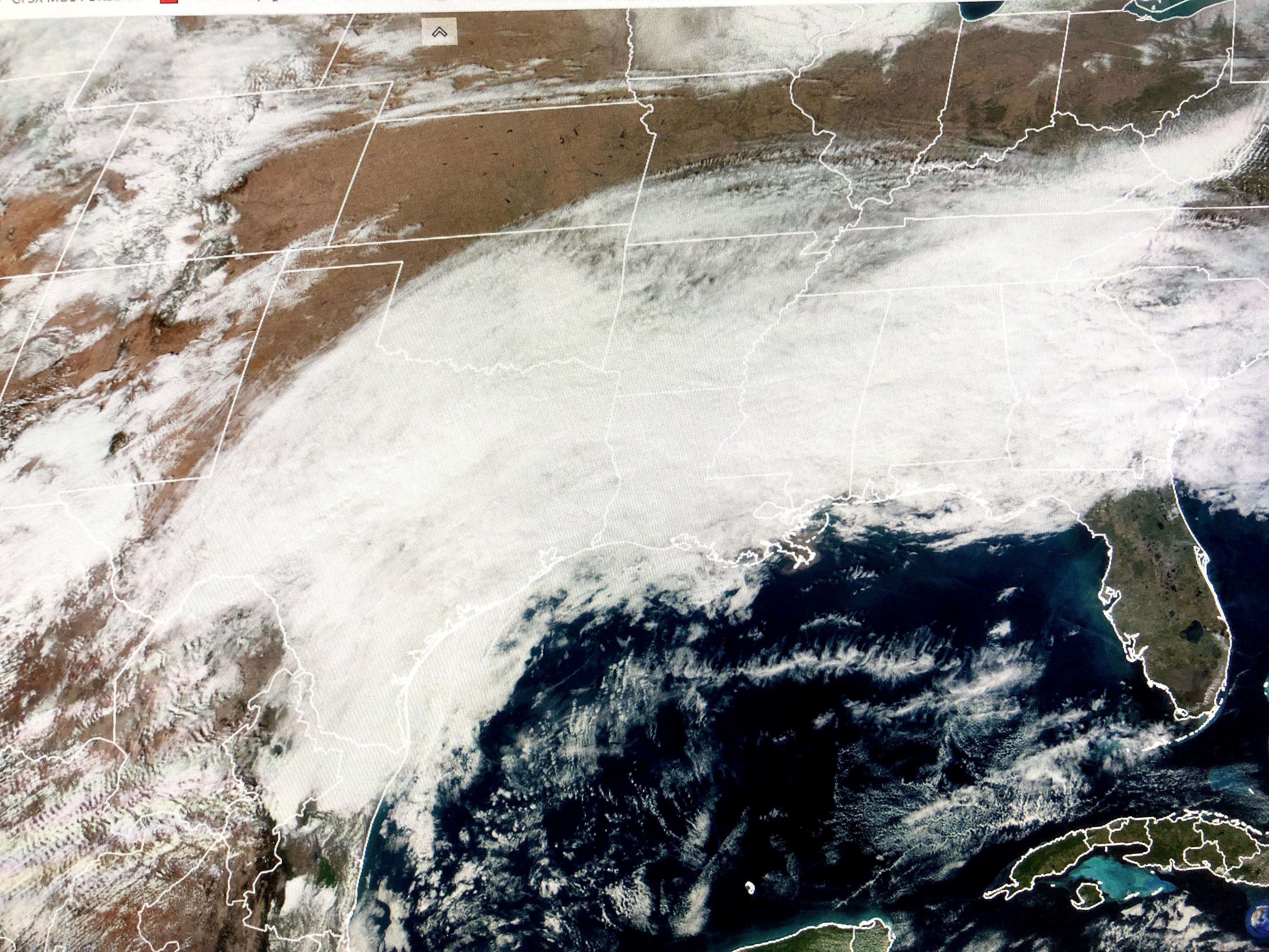
The current surface map has several fronts to our north with the southern one basically stationary while the one farther north will be our next cold front arriving during the day on Friday.


Note how we are in the warm air with dew points now back above 60. As the front moves to the south tomorrow, don't be surprised to see us socked in with low clouds & fog. This front will bring us a shallow layer of colder air, but it will not push far enough to our south to provide us any clearing.


So even though we will see a brief cool down, we're right back above normal/average on Sunday lasting into much of next week. There will be many storms affecting the country during the next 7-10 days. Most of the action will stay to our north, but it will be exciting to watch to see who gets the snow dump. It will NOT be us! Sorry. Stay tuned!

No comments:
Post a Comment