If you were watching Shelby Latino on FOX 8 this morning, she showed you the radar velocities that had a couplet move right where the Entergy power outages occurred. Bruce Katz had the bottom 2 graphics on his 4 pm program which showed the path of the storm. Luckily no one was killed or hurt.
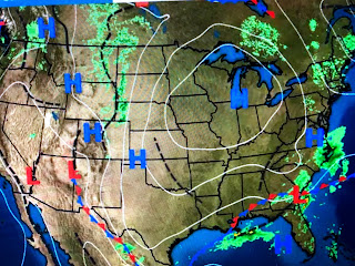
The frontal boundary that focused the storms over us has sagged into the Gulf but clouds linger well behind the front. In fact, some showers have developed NW of Lake P. so we may not be done with the rain.
With the front to our south, lower dew points (drier air), will filter in making the next 2-3 days feel much better.


No comments:
Post a Comment