The later we get into April, the cold fronts usually become less cold due to the higher sun angle and longer daylight. Even though the next 2-3 days will feel summer-like with highs well into the 80s, models are hinting that the second & third weeks of April will be cooler than the first.
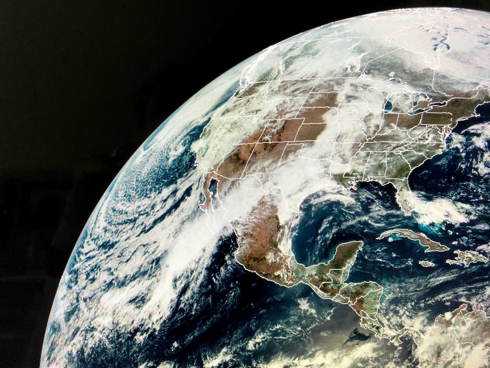
We still have the upper trough along the west coast bringing rain/snow & cold air into California. That keeps the upper ridge over the SE with much warmer temperatures.
For us to turn cooler, we need at least the upper trough to develop over the Great Lakes and NE and that would flatten the upper ridge over the SE. IF that happens, late Thursday into Friday will be significantly cooler. Models are not sure on the movement of the front and it could stall just to our south along the coast with overrunning rain falling her for Friday into Saturday. We really could use the rain locally even as the Mississippi is cresting with the Spillway now open.
Today we're seeing plenty of sunshine allowing our temps to approach record highs. Since I've been cleaning out my attic, I've come across some old pictures that bring back memories. In "my youth", I wore some wild sportscoats ( it was the 70s!) that I brought with me to NOLA. This is a picture from early 1973 when I was with WTVT-TV, Ch. 13 in Tampa. (Yes that was my real hair!)
Contrast that to modern times as I get ready to go to the pharmacy. My "youth" was more fun! Stay strong, stay healthy and mainly stay home! Mask up if you must go out. Stay tuned!


No comments:
Post a Comment