


 .
.You can see several tropical waves over Africa moving to the west spaced about 3 days apart. The same goes for the Tropical Atlantic, but none show signs of development. That's because the MJO (Madden-Julian Oscillation) is currently in the unfavorable (sinking air motion) in our part of the world and is expected to remain there for another 7-10 days. To me that is the real wild card question in these hurricane forecasts, because if the MJO is not in the favorable (rising air) phase, then we won't have an explosion of storms. All the experts believe it will flip,and with all the other indicators favoring a positive number of storms, we'll see an explosion in the Tropics. I don't know what the MJO will do and neither do they. Let's hope that sinking motion over the Atlantic & Caribbean continues.

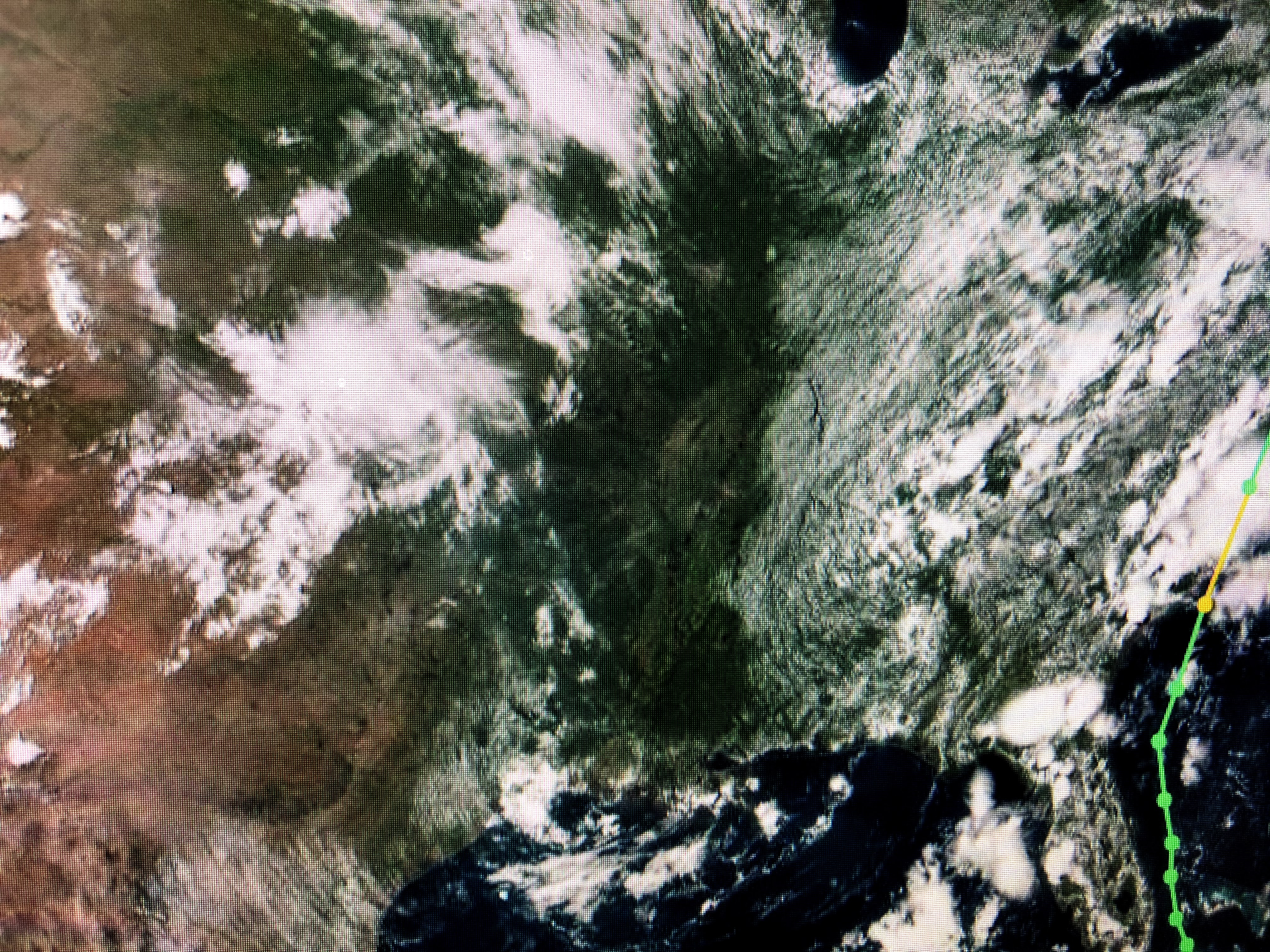

Satellite views show a typical August afternoon with a smattering of storms bubbling up during daytime heating. But wait, do you see the dry slot from Illinois down to Louisiana? That's brought down by an unusually deep (for August) upper trough and the lack of clouds and storms is stunning.


It doesn't show up on the surface weather map, but temperatures certainly are less hot and note the lower dew points to our north. That should make it feel nice tonight once the sun goes down. Only a few coastal showers are around and that should be the case again on Friday. I expect we'll go back to a more humid & typical August pattern over the weekend with a return of our daily PM storms. For now, enjoy the quiet pattern over the Tropics and perhaps spent this weekend getting some basic hurricane supplies so you don't fight the crowds when the big one comes. Stay tuned!
No comments:
Post a Comment