
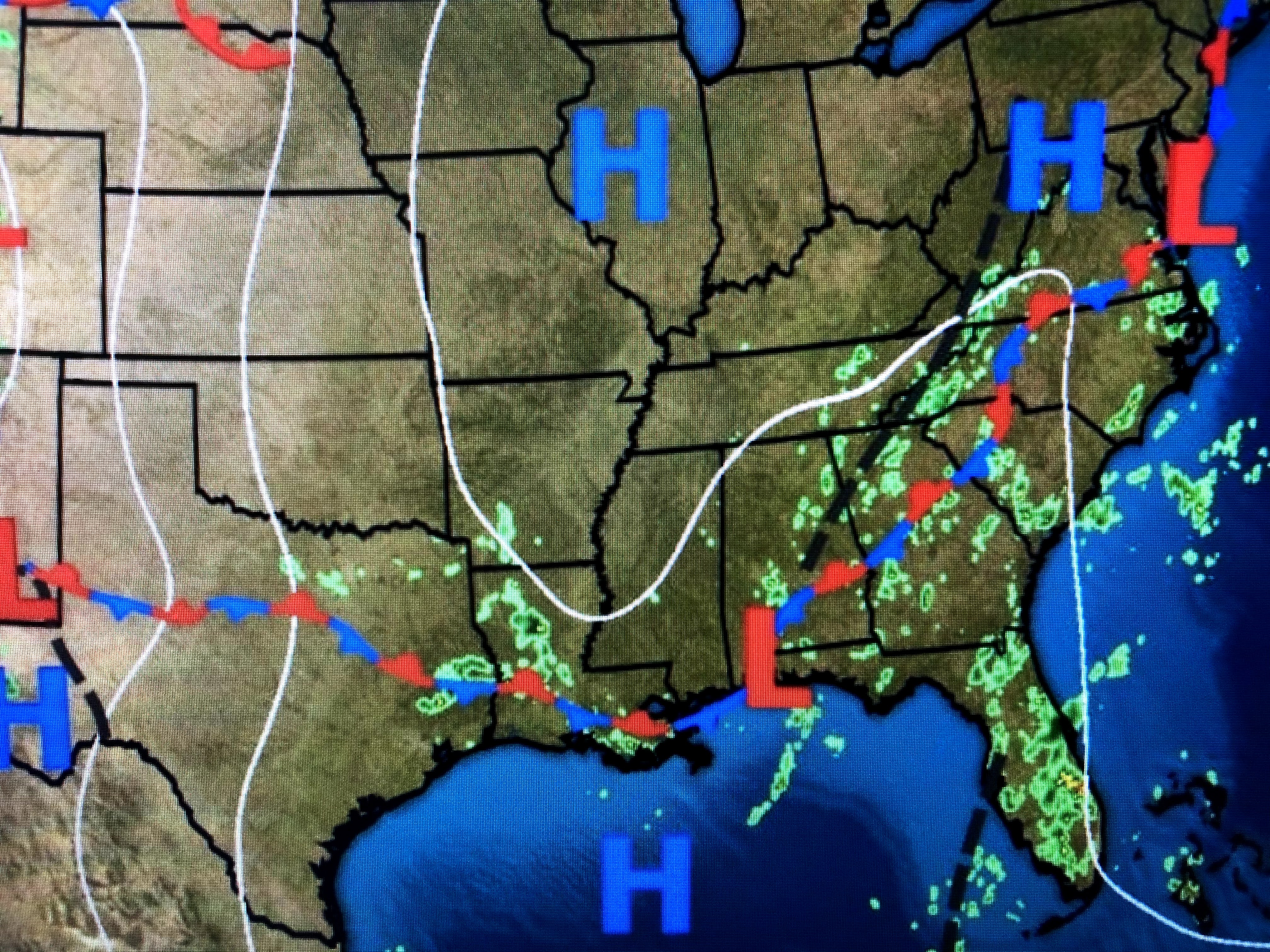

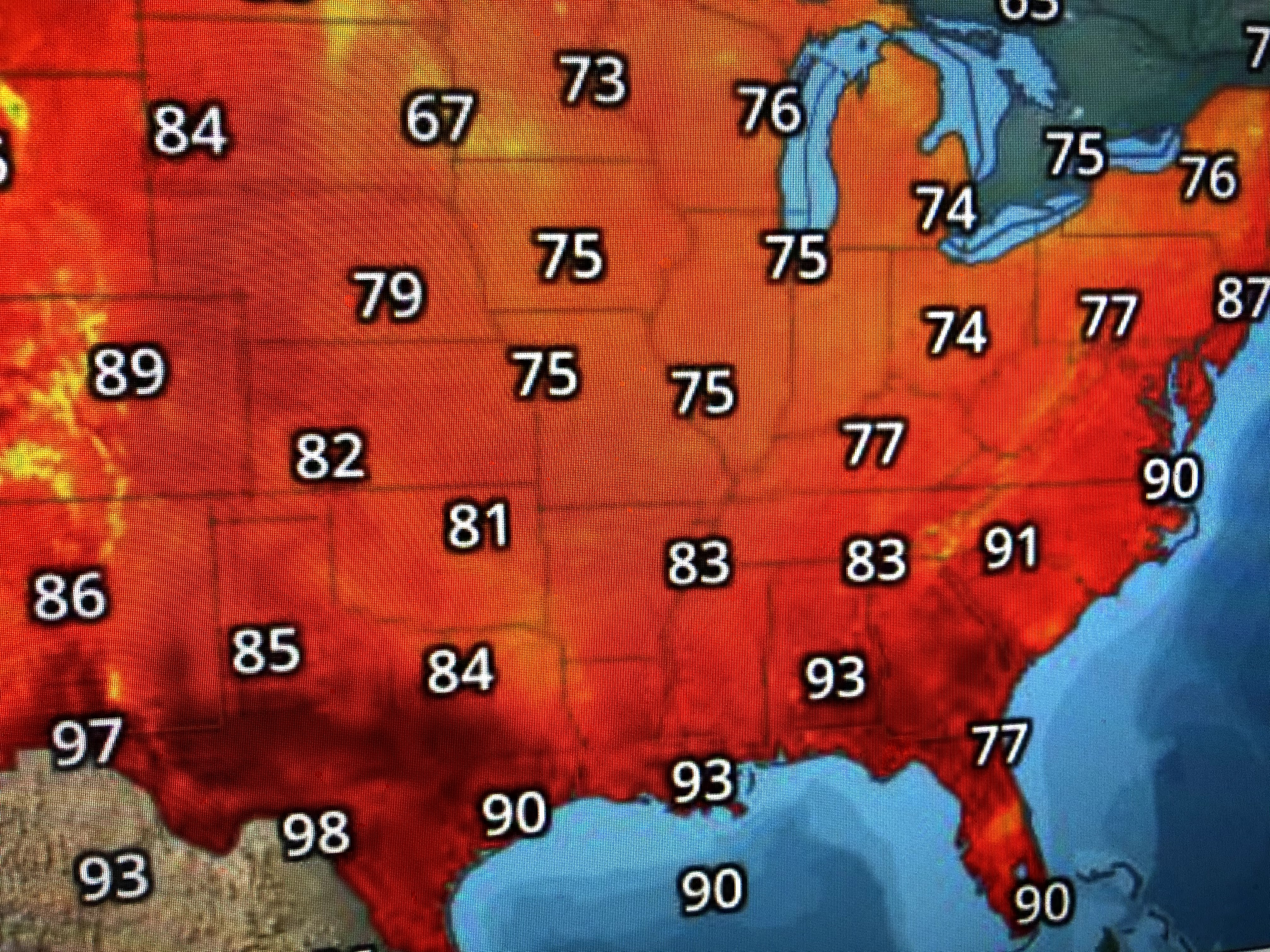
We're still plenty hot, but the lower dew points should make morning lows feel better tomorrow and Friday, especially North Shore and away from Lake P. It's another rare August afternoon of a few showers all the way over to the Florida beaches.


This mostly dry pattern will linger for another 2-3 days. It's a basic summertime afternoon for much of the Southeast as the Tropics have gone quiet.


There is a weak circulation far east of Florida that NHC gives only a 10% chance to develop over the next 5 day. It should be noted that the American (GFS) long range model is developing what appears to be a hurricane in the central Gulf around August 20th. That's still over 2 weeks away.
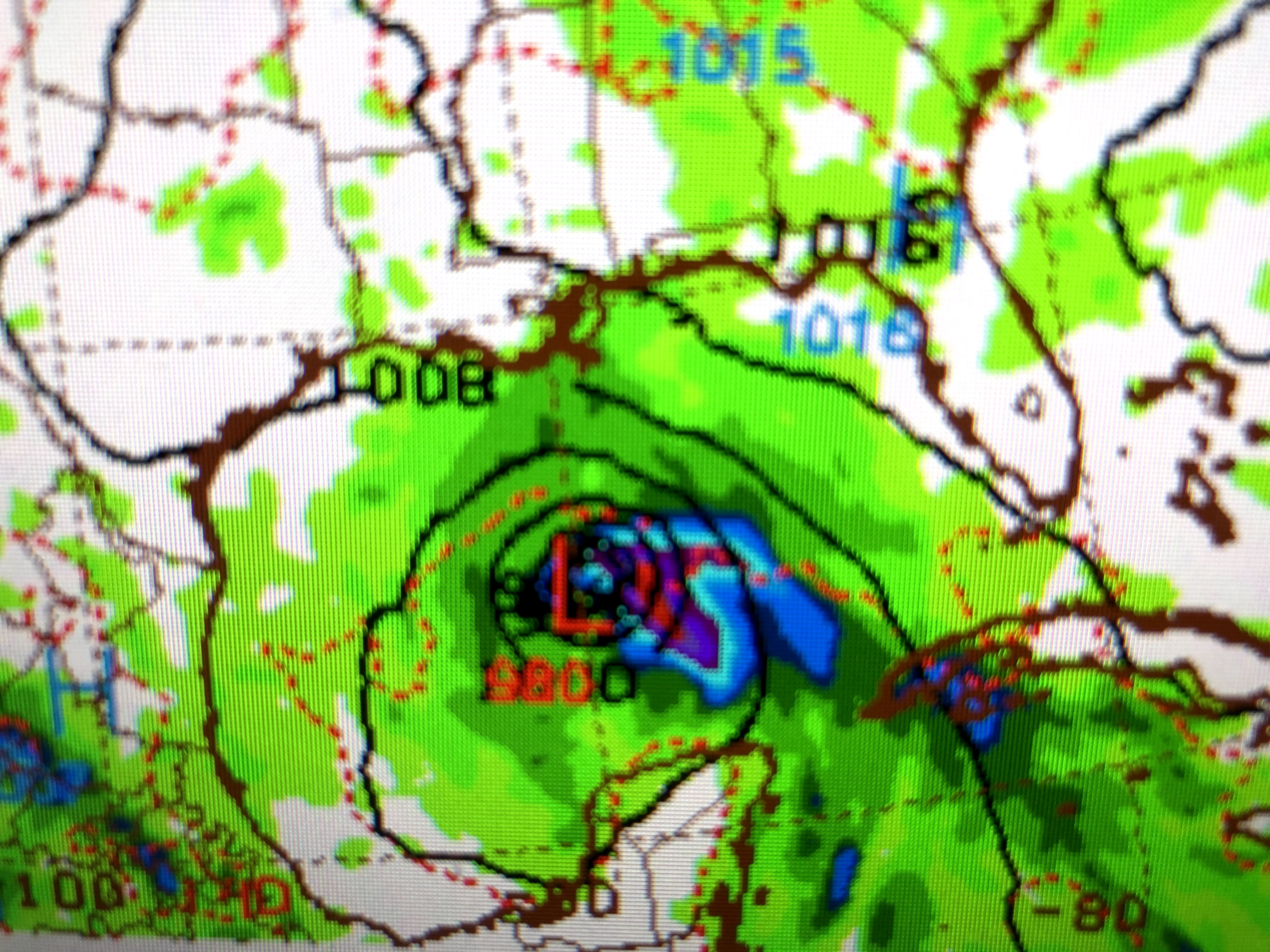


RIGHT NOW, there are no significant waves coming off of Africa, but we have arrived at the time of the year when that's often where the long track storms have their birth. The Euro does not see anything so we'll just have to keep checking/watching/waiting to see if the GFS is on to something. For now, no worries. Stay tuned!
No comments:
Post a Comment