


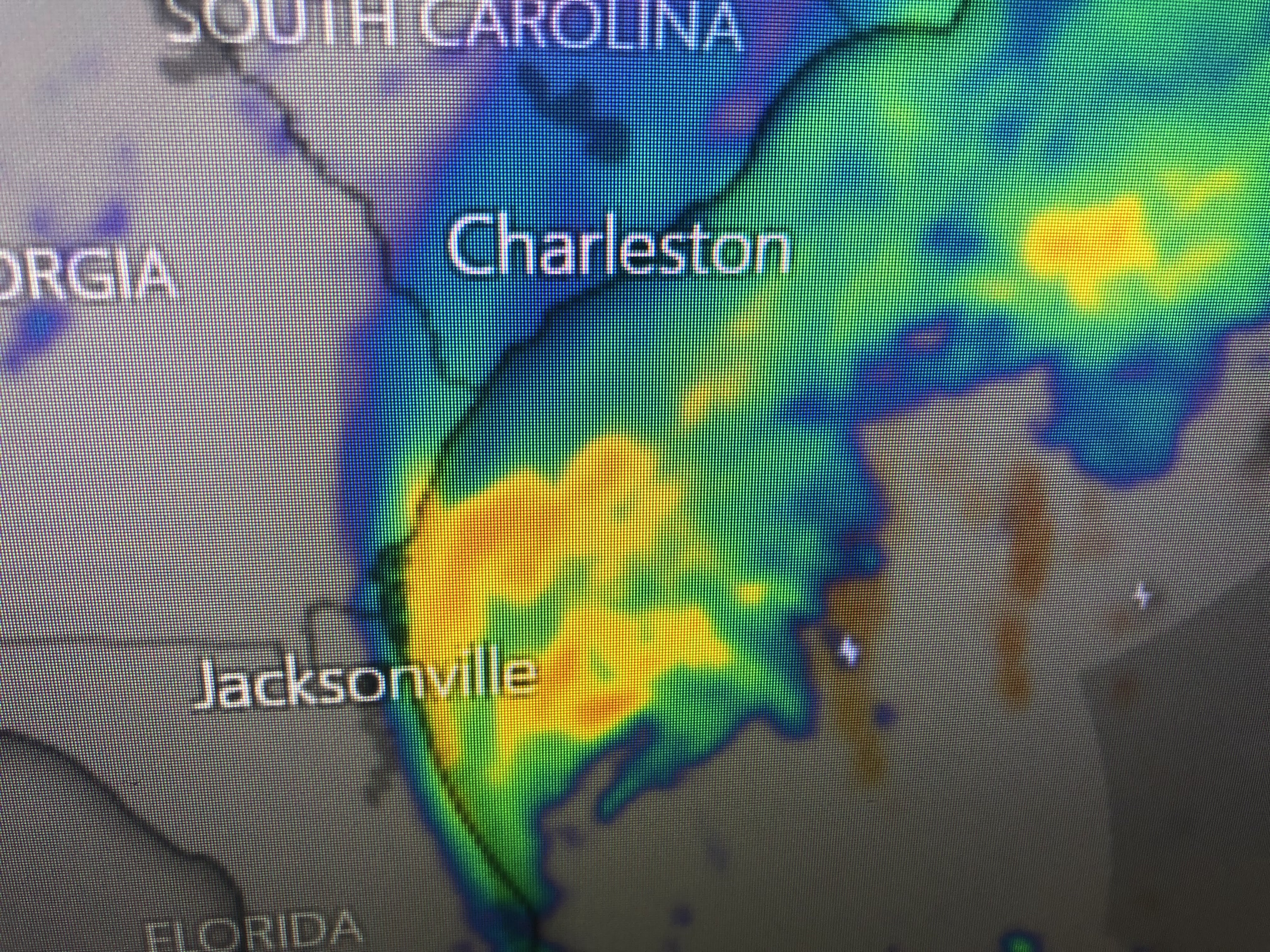
From satellite views, we do not see that donut hole look. Ian is a far weaker storm, but he still could produce a surge of 4-7'+ east of that center line landfall. That landfall will happen during the daylight hours on Friday. I trust local officials have instructed all those at risk in low lying areas to get away from the water. I'm hearing the death toll in Florida is at least 15. Heed the warnings Gang!


Speaking of Florida, the videos I;ve seen are tragic. The causeway to Sanibel & Captiva islands is gone. It will take months to repair limiting access to the island only by boat. Look at these pictures. They remind me of after Ida.


The bottom shows the dangers of staying in a mobile home. You can't stay when a big one comes. But there's more...


If the wind didn't get you, a broken gas line will. No fire fighters available during the height of the storm. I almost feel a sense of guilt regarding what great weather we have.


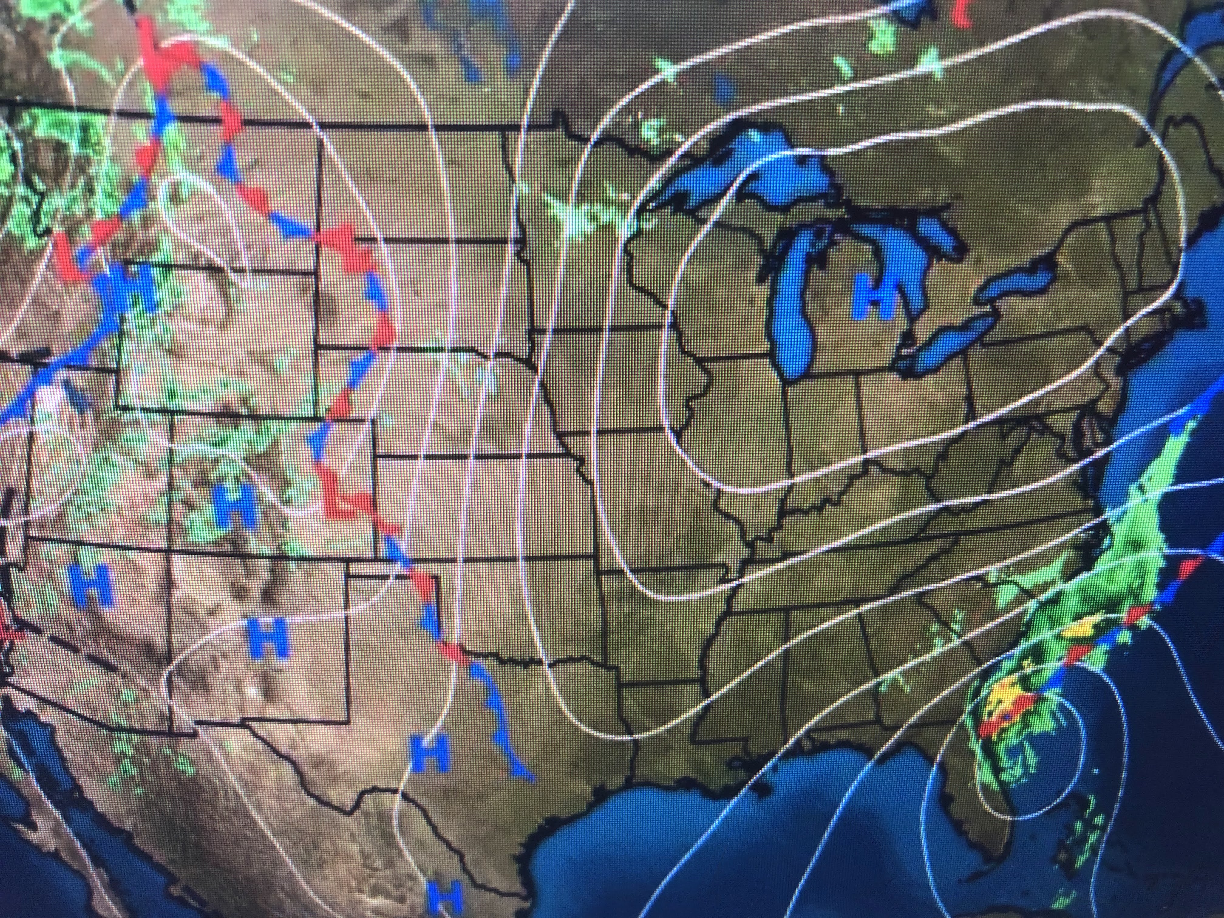

With an upper tough over the East, a cool, dry Canadian high has settled over Michigan. The circulation around Ian interacting with the high has driven the drier air off our coast & all the way into Florida.


That good feel air will help those without power & AC.


We still have brisk north winds, but they will diminish as Ian lifts farther away. We have a beautiful weekend coming up. Get out and enjoy it, but let us never forget prayers for our friends in Ian's path. We were there a year ago. Stay tuned!

1 comment:
Hello Bob, thanks for all you wisdom! My question is—hurricane Ivan blew every leaf off of trees and bushes for miles inland around Pensacola.. why does it appear there are lots of trees standing and leaves on the trees with Ian? All the attention is on water with Ian, nothing much on trees.
Thanks for your response!
Gloria Gonzalez
Post a Comment