
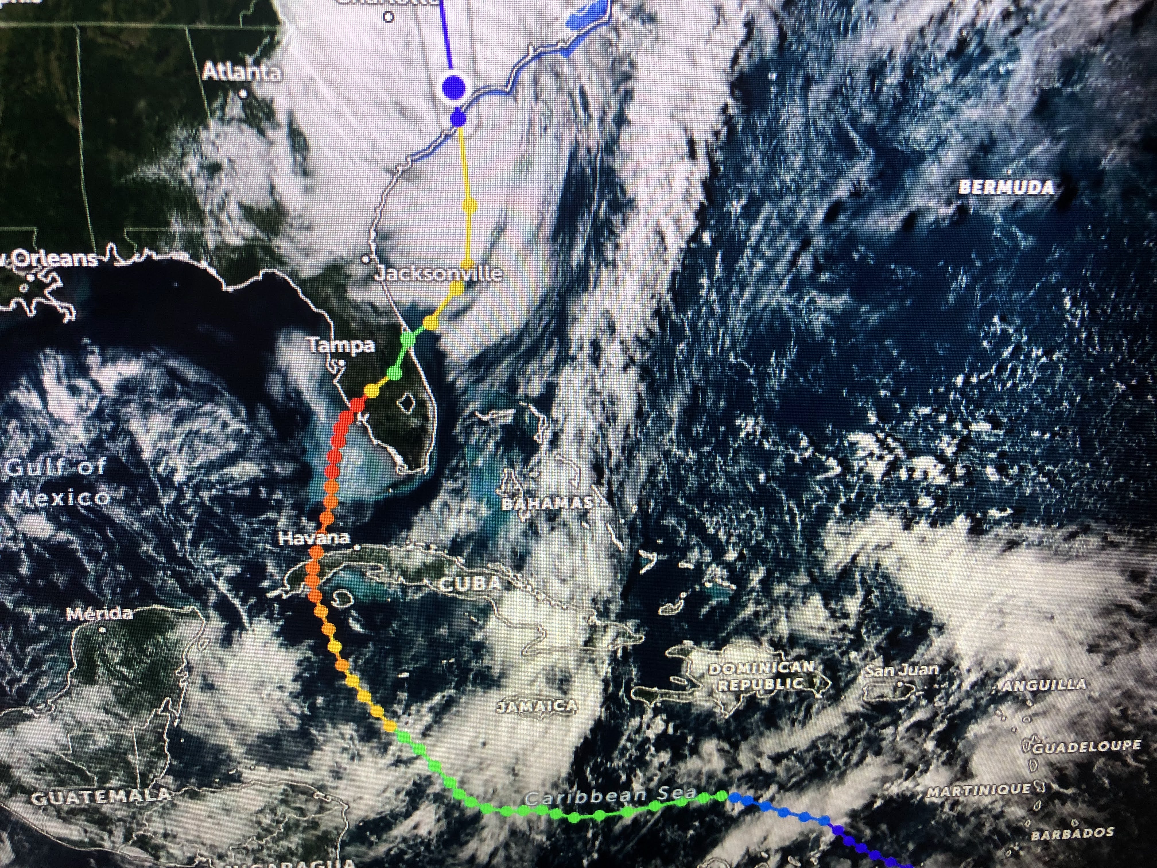


As Ian leaves, there is nothing coming into the Gulf for the next 10-14 days. There could be another named storm (Julia) way out in the Atlantic, but that will not be our concern. Models do bring another strong cold front through for NEXT weekend and I'm fairly confident our hurricane season is over here.


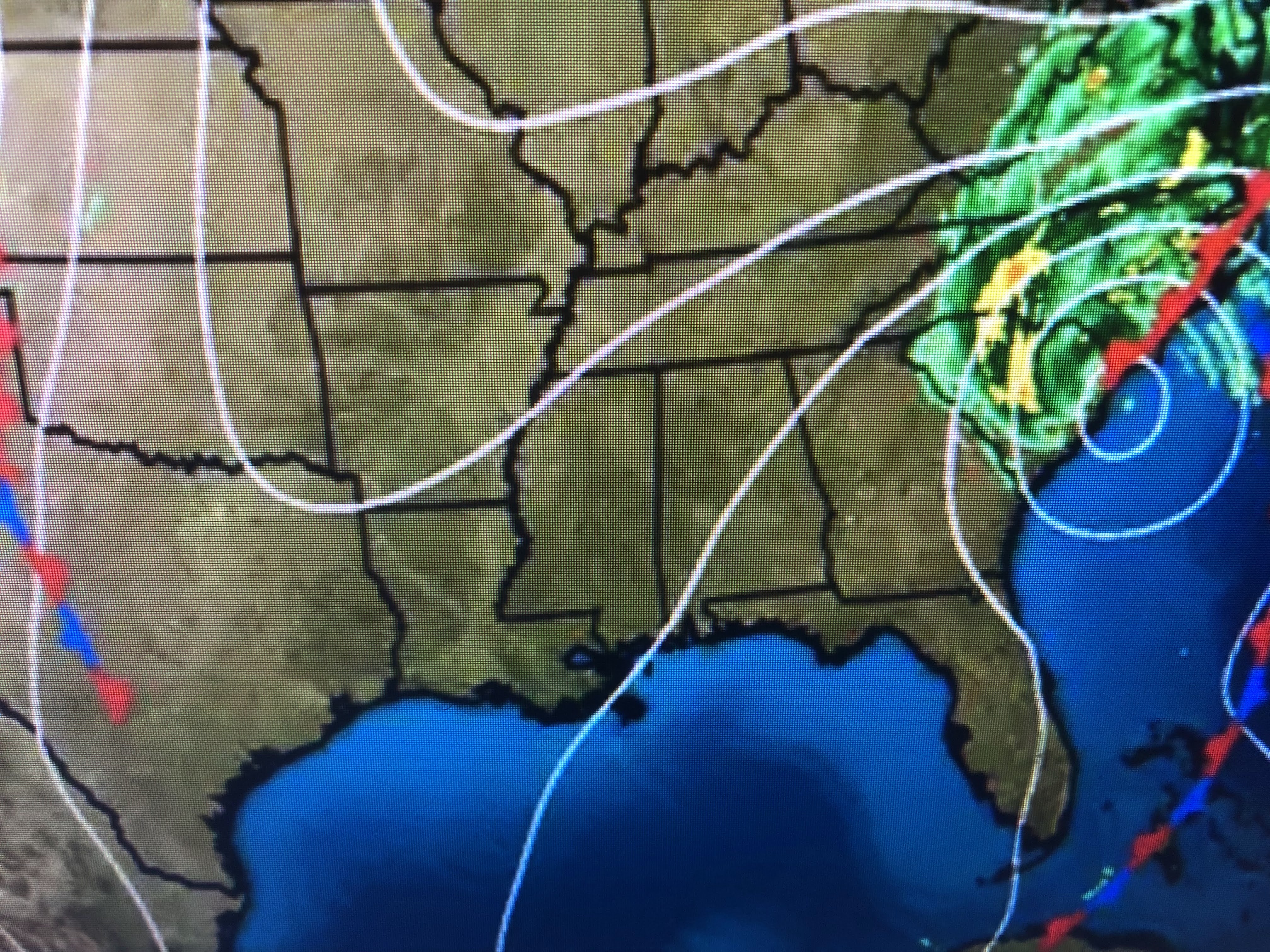
The main jet stream is up across the northern states and we'll have to wait a while for another front.


We don't need another front right now since the circulation around Ian continues to bring down cooler, drier air. It looks like a great weekend here with a slow warming trend into next week.
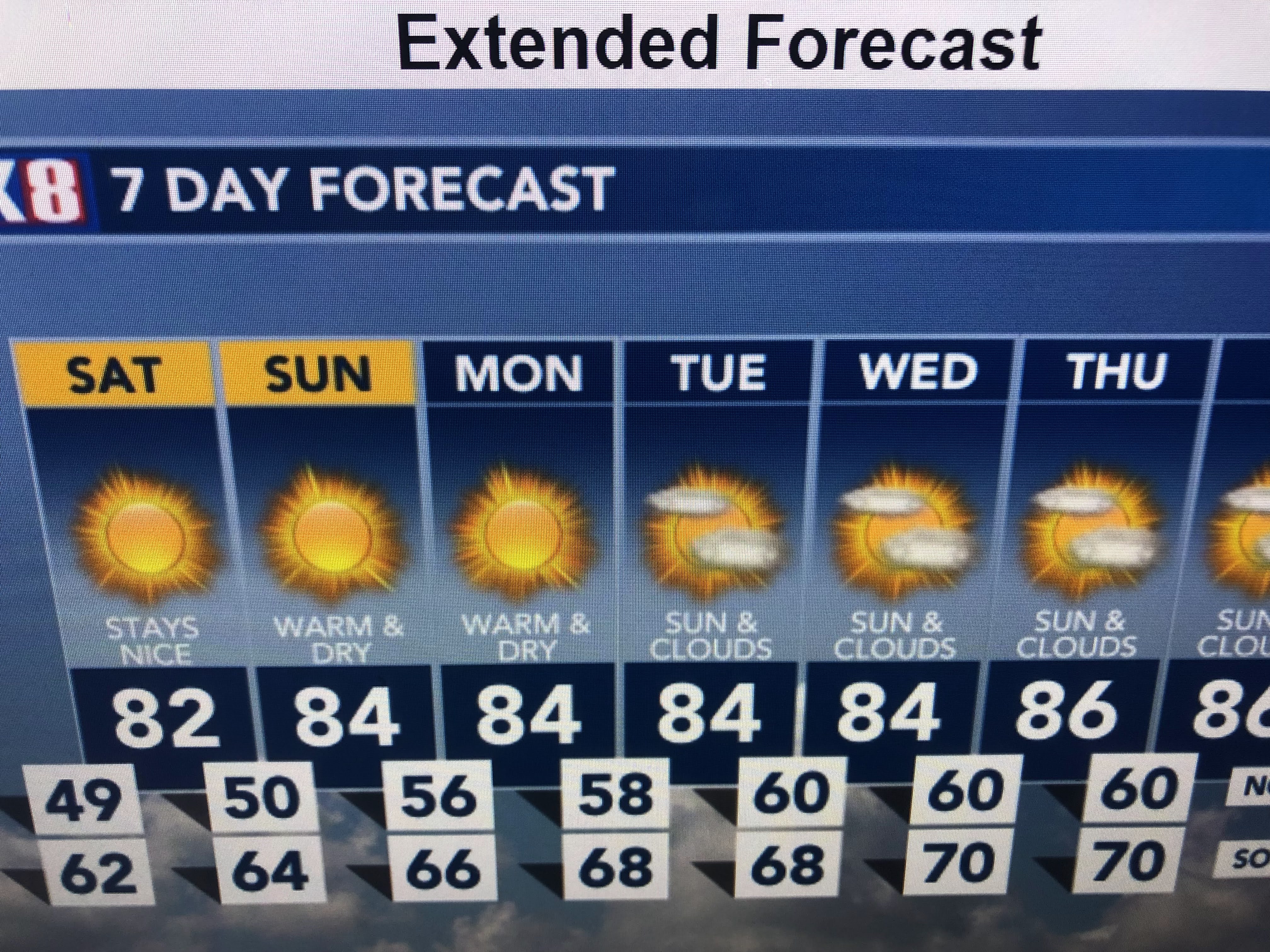
Enjoy your weekend and try to get outdoors and soak in our great Fall weather. Stay tuned!

No comments:
Post a Comment