For the past few months, it seems every time a storm system sweeps across the South, the areas south of Lake Pontchartrain end up with very little rainfall. That is about to change as a frontal boundary has stalled out near us and waves of low pressure will trigger several opportunities for significant rain totals on both sides of the Lake.
It's tomorrow's event that could bring another round of severe storms to the Deep South. SPC has the bullseye for strongest storms just to our north.
Recall last week's bad weather hit almost the same area.
The question this week is...will the intensity/number of storms be the same? Over 100+ tornadoes happened last week. The same ingredients are available at the surface, but the upper winds RIGHT NOW don't look as strong.
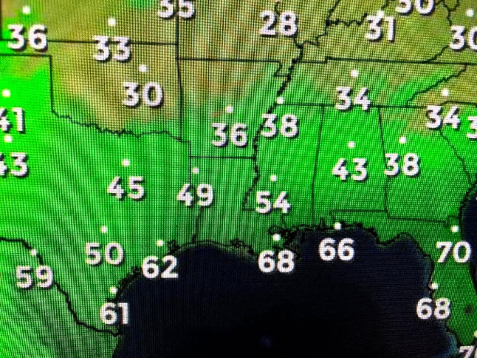
What's left of the Gulf front will lift back to our north on Sunday putting us back into the warm air sector. Temperatures should soar back into the 80s as opposed to today's 70s.
The upper low coming from the West Coast is hard to find on satellite pictures. What does show up across Texas is a surge of moisture that will add fuel to this event.
Sunday we'll have the potential for some strong storms with the higher risk across the North Shore on into Mississippi. Have your FOX 8 weather App. ready in case any warnings are issued. Drier air will return for Monday & Tuesday before another fast moving system comes next Wednesday. Stay tuned!


No comments:
Post a Comment