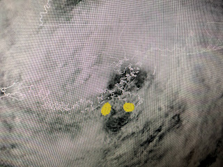
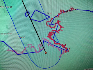
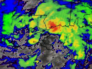
The top photo is where I see the center while the second has the dot on the left where the official NHC position is and it's why they keep the track centerline going just west of Lake Pontchartrain. The bottom line is this. A farther east track should keep the heaviest bands of rain along the MS/AL coasts where they already have seen 3-5" already.
During the last several hours, satellite views have become way more symmetrical, more looking like a tropical system. However, on the color IR pics, the brighter, colder cloud tops (heavier rains) remain well to our east.
It appears those of us south of Lake P. are in for several hours of mainly dry weather. It'll be easy to tell if the center goes west of NOLA as our winds should turn from the ENE around to the SE and then South late tonight. Unfortunately, that will mean the high water levels will not quickly fall off until after midday on Monday.
Finally, the latest satellite pic shows the center of Cristobal over the lower parts of Plaquemines Parish with clearing skies approaching us from the SE. The next several hours here on the South Shore will be rather pleasant. As Cristobal lifts to the NNW over night and on Monday, we'll have to be alert for some training of squalls on the underside of it that could dump more rain than what fell today. I'll post again tonight after 10 PM, unless something develops before then. Stay tuned!


No comments:
Post a Comment