


The cause of all the clouds and showers is an upper low over west Texas that is rotating under the main jet stream. That low will phase with the upper stream to create a deep east coast trough for Monday & Tuesday.
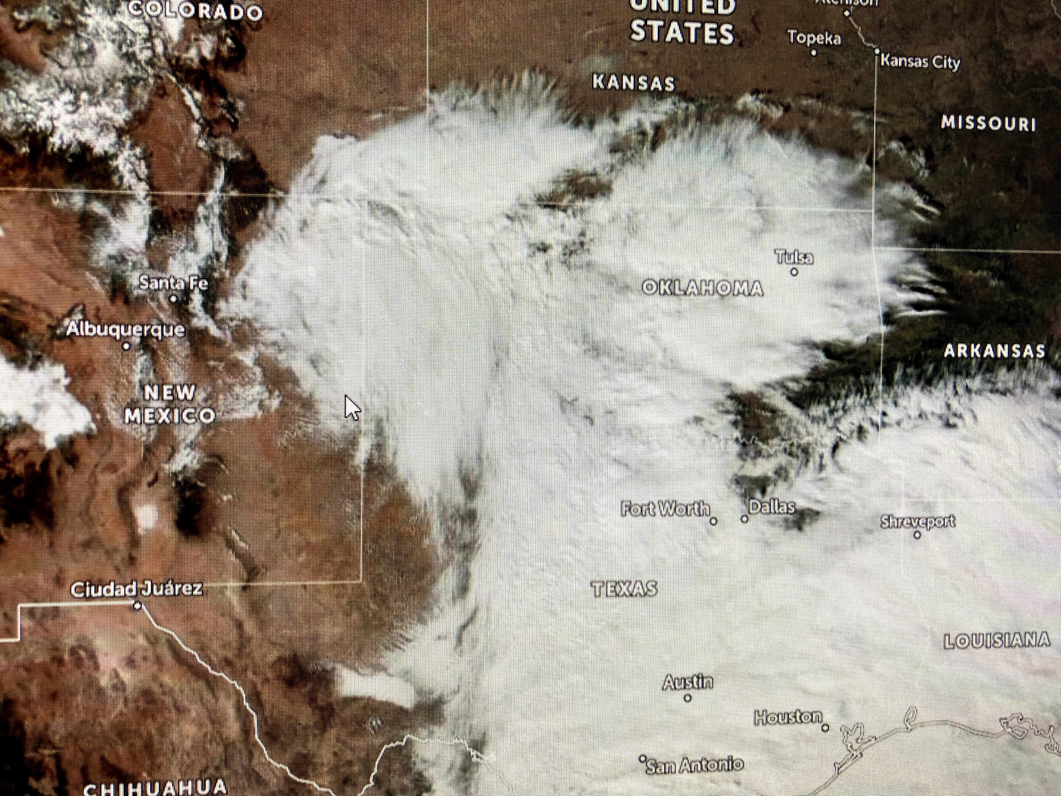


In the short term, as the upper low over Texas marches to the east, it'll develop a weak surface low along the upper Texas coast. More heavy rainfall is likely after midnight here lingering through midday on Sunday with NWS calling for 1-3"+. It appears the warm air sector should remain along the coast where there is a slight risk for some severe storms.


So get out those sweaters and heavy coats as they'll be required for Monday and Tuesday. It'll turn briefly milder with some showers late Wednesday into Thursday with another cold blast on Friday. On the bright side, the coming cold will help ripen my grapefruit and make them sweeter. Always trying to find the positive. Go Saints (if they play?) and stay tuned!

No comments:
Post a Comment