

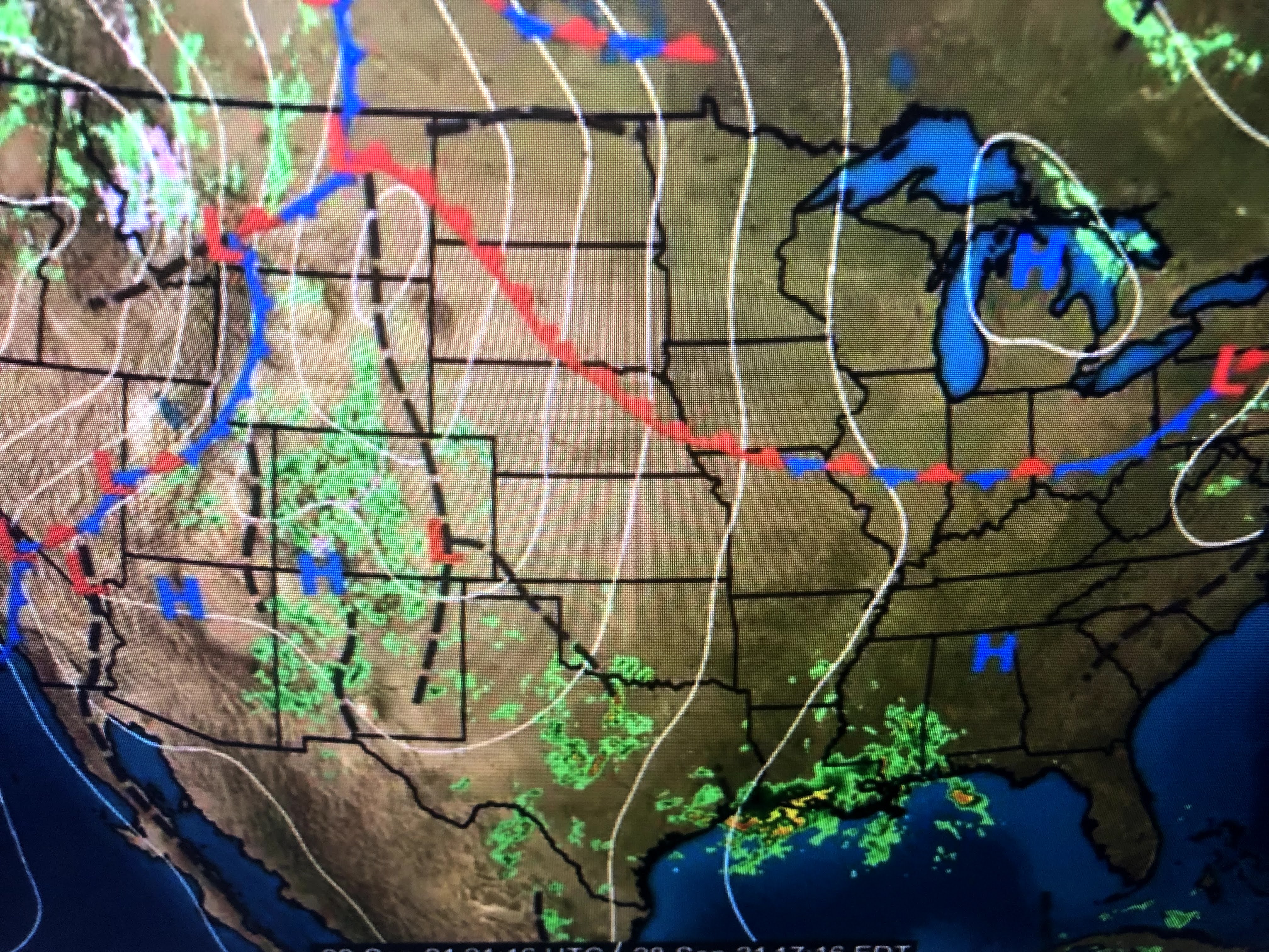


Cold air has moved into Montana with snow falling at the higher elevations. However, we're back in the soupy 70+ dew points for the next few days with more rainy spells coming.


The clouds and rain do keep us less hot, but I long for the weather we enjoyed over the weekend. As you can see, the seven day shows no relief coming.

The Tropics around us remain quiet with no model indicating any formation in the Gulf or Caribbean for the next 7-10 days. All the action is far out into the Atlantic and is projected to stay there.


I'm feeling better each day that our tropical threats are over for this year. However, the sting of Zeta last October has me delaying calling the "Fat Lady". Let's be cautious this year. Stay tuned!

No comments:
Post a Comment