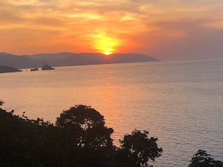
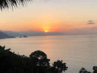
What I couldn't get enough of were the sunsets. We all know how beautiful a Lake Pontchartrain sunset is, but add in terrain and it's a totally different view.
If you're looking for a quaint town with good food, friendly faces and great sunsets, head to Mexico & Puerta Vallarta. Before I left, I mentioned the possible Polar Vortex developing for later this month over the East. There will be an upper pattern change coming for next week, but IF a Polar Vortex forms, it won't be until Christmas week.
The persistent upper trough along the West Coast keeps a SW upper flow over most of the nation. It has resulted in way above average/normal temps this past week. Here's what the GFS model thinks for the next 10-14 days.
the top graphic is today with the next showing a strong disturbance entering California on Sunday. The next is for Tuesday indicating a possible severe weather outbreak to our north. That upper low flattens out keeping the coldest air to our north and east. The bottom view does show that Polar Vortex forming up in Canada 2 days before Christmas. What I'll be looking at is future models to see if that trend of deepening continues for Christmas week. It will get colder here. How much? Too early to know.
It is seasonally cold across the northern states, but for many it's still above normal/average. The West coast is receiving another soaker that will help knock down their lingering drought problems.
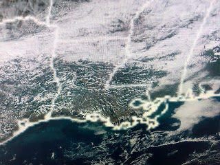
As long as we stay warm & humid, we'll see daily night time fog problems. This afternoon's satellite view had us clear with the sea fog displaced well to our east. That will change during the evening and night hours.
A weak upper disturbance could bring us a few showers on Sunday, but the real front arrives on Wednesday with sweaters and jackets required for the end of next week. It'll get us back slightly below normal/average (66/49) with a more December-like feel to the air. Ho, Ho, Ho. Stay tuned!
Sorry post is so late, but COX cable went down while I was posting at 5:30 PM.


No comments:
Post a Comment