
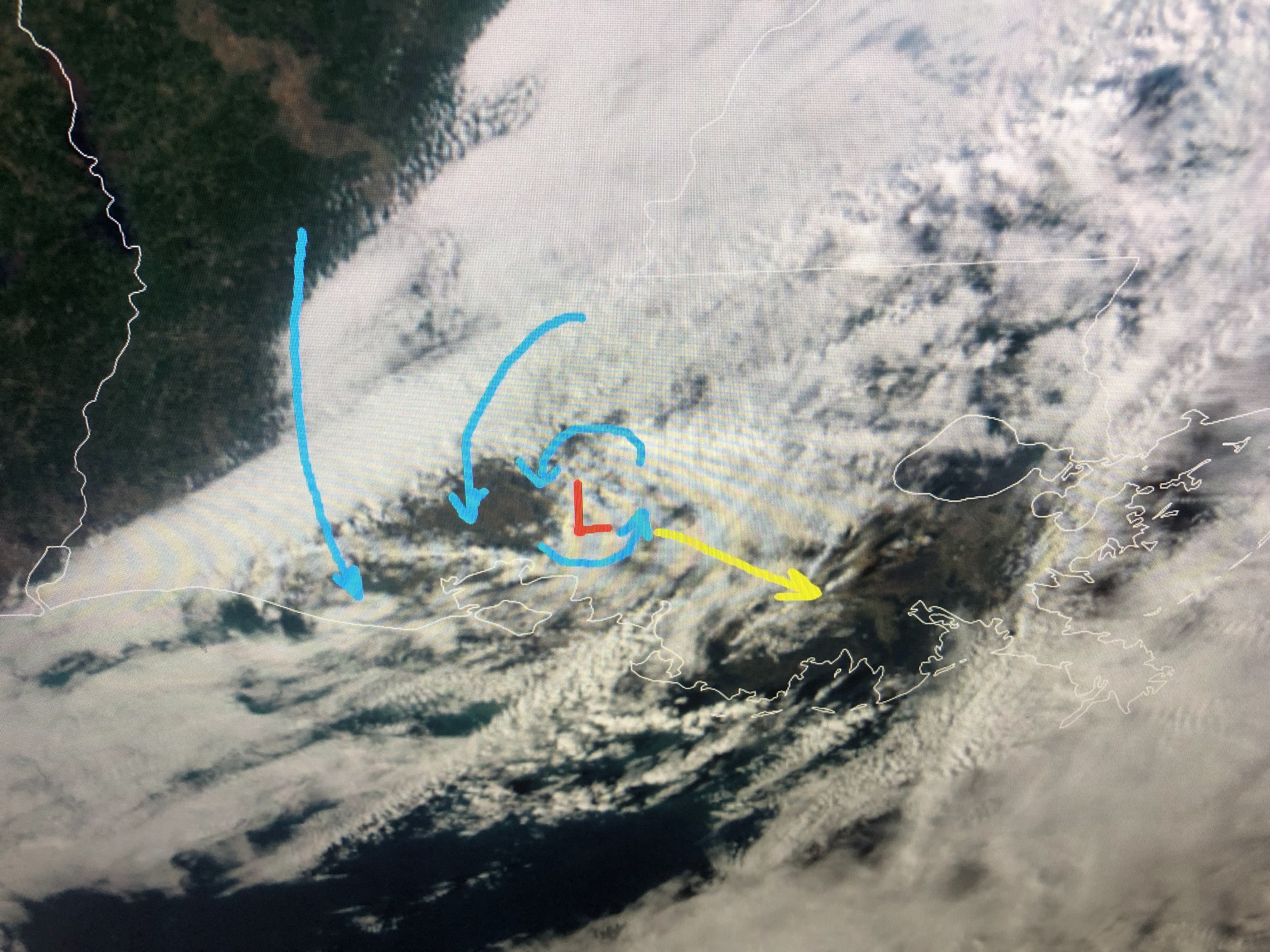

A weak upper disturbance triggered today's clouds & showers. Hopefully we'll see the sun back tomorrow with slightly cooler & drier air.


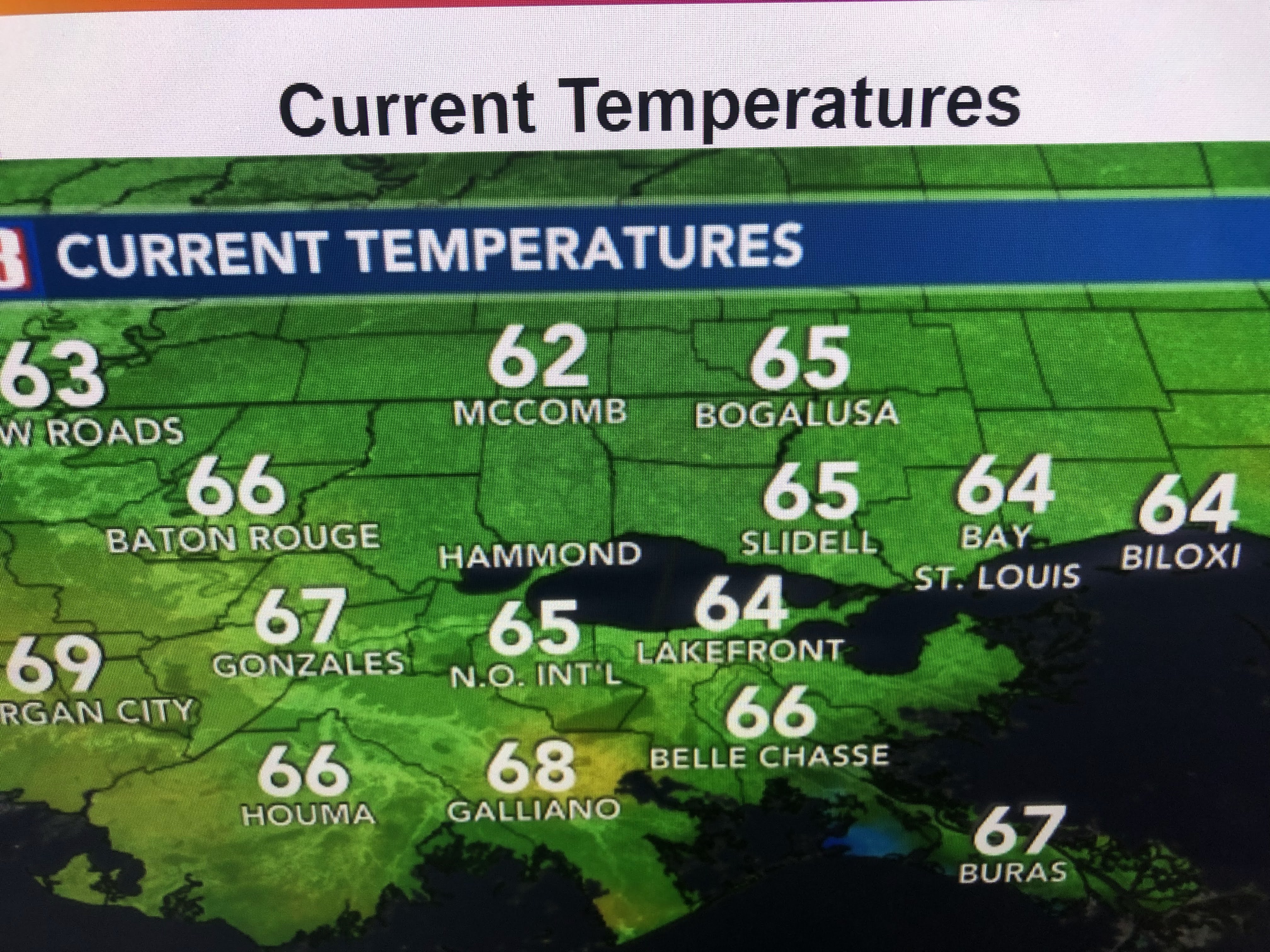
Note the lower dew points to our west and north.


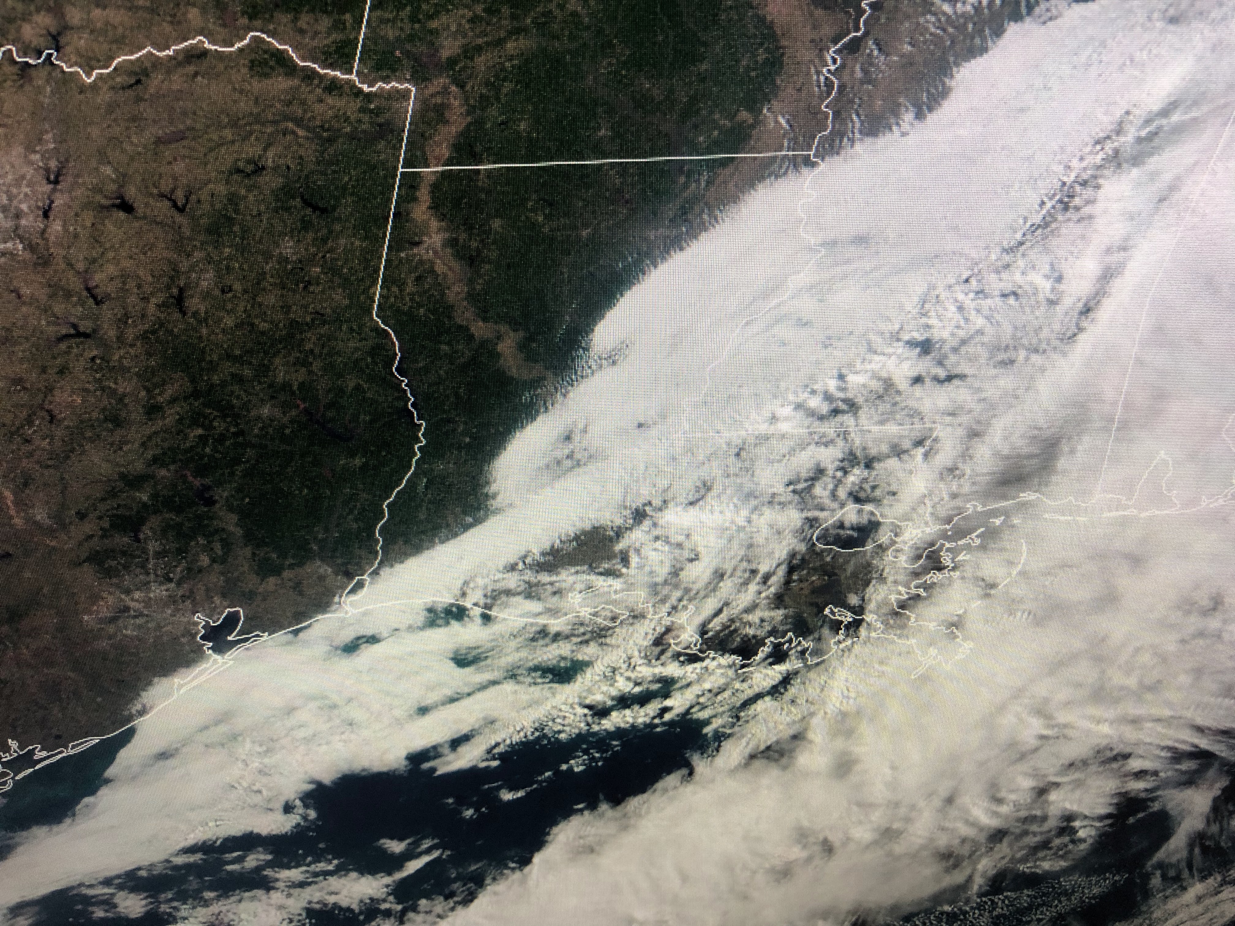
As you can see, back in Texas there is no real colder air, however that may change by late this week.


The top graphic was valid this morning. The bottom is the forecast for Friday morning. Note how sharper the eastern trough is. That should bring down colder air by Friday.


Before then, we'll see a warm up back into the 70s before next weekend goes back to sweaters and coats. I don't see any Arctic blasts coming for the next 7-10 day. Instead it may be a roller coaster ride that means many of us are likely to get sick. Boo! Finally...


The upper trough remains anchored off the West Coast with more "atmospheric rivers" aiming for California. They still have at least 2, possibly 3 more storms that will add to saturated soils. It's good for their long term water capacity, but bad in the short term due all the burn scares for this summer's fires. Feast or famine with little in between. Stay tuned! Oh, were any of you surprised how the Saints lost? I felt sorry for our defense. 7 points doesn't win many games.

No comments:
Post a Comment