


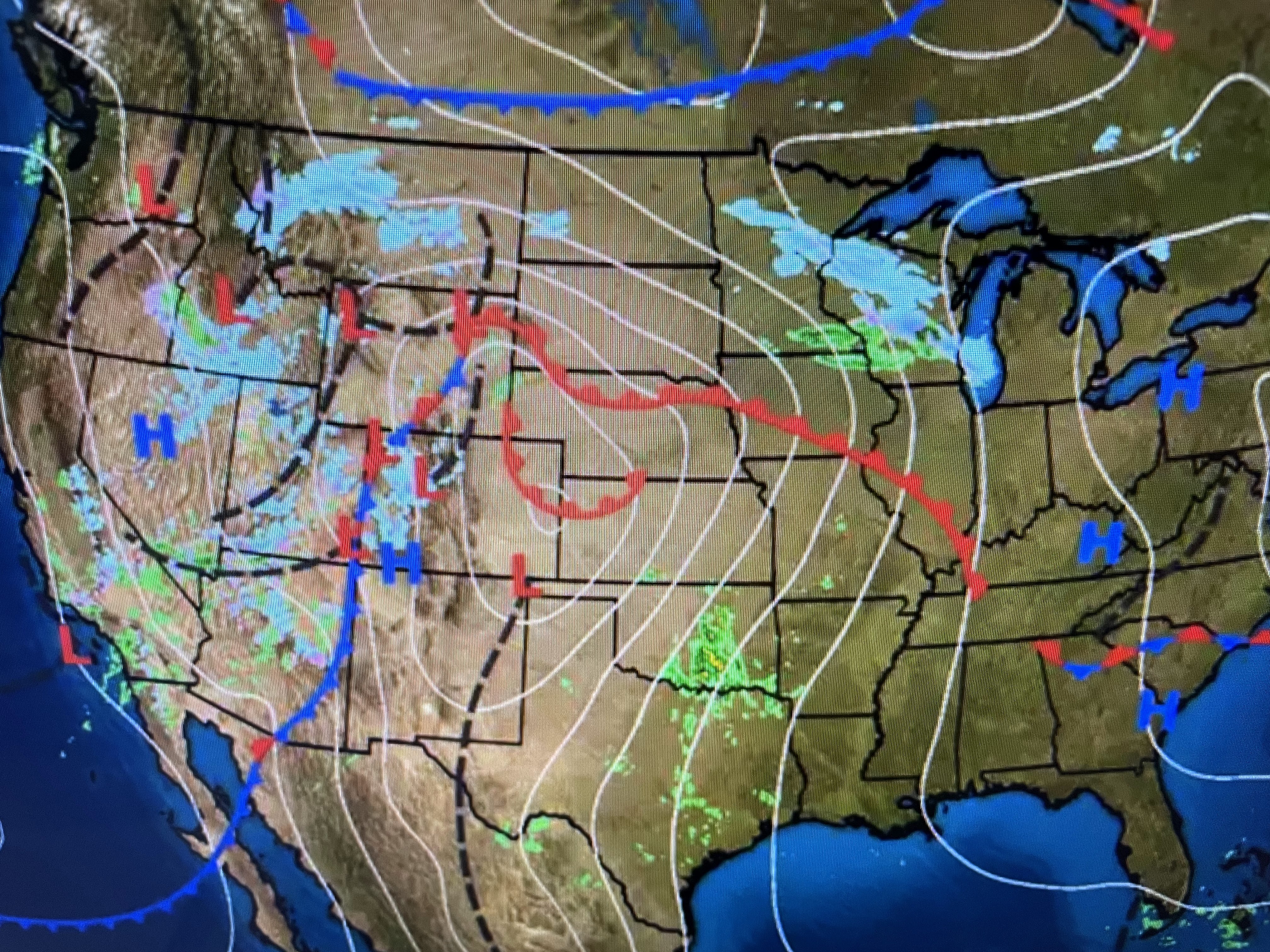
As the upper low over southern California kicks out across the Rockies on Friday, the stage is set for a large severe weather outbreak to our north.

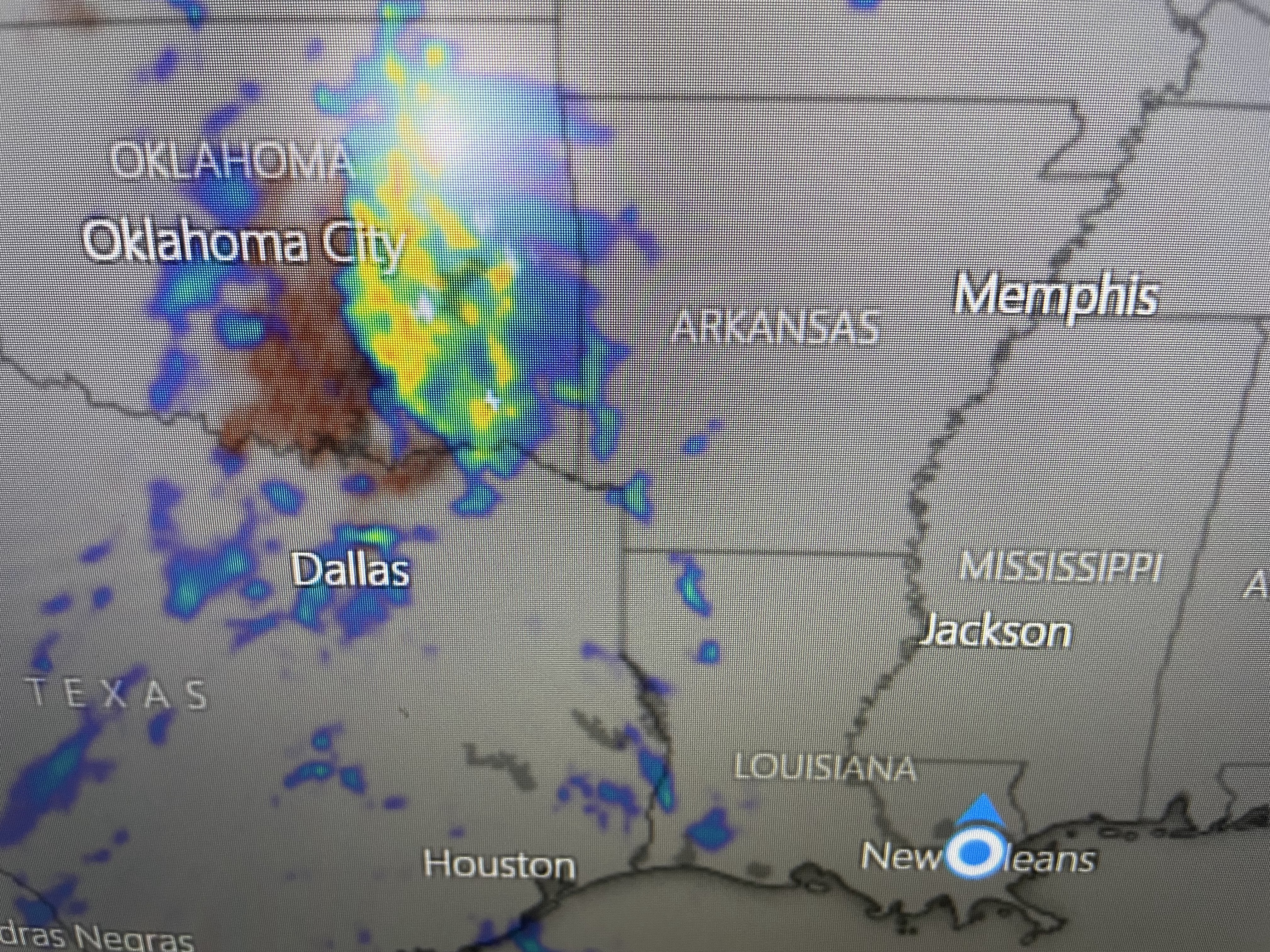
You can see where Winter lingers under that upper trough with the warmer air (70+) all the way up to Omaha. SPC has highlighted 2 areas at highest risk tomorrow.


With the upper energy lifting far to our north, we will not have to worry about strong storms. However, SPC has hatched in several areas where the potential for long track tornadoes is greatest.

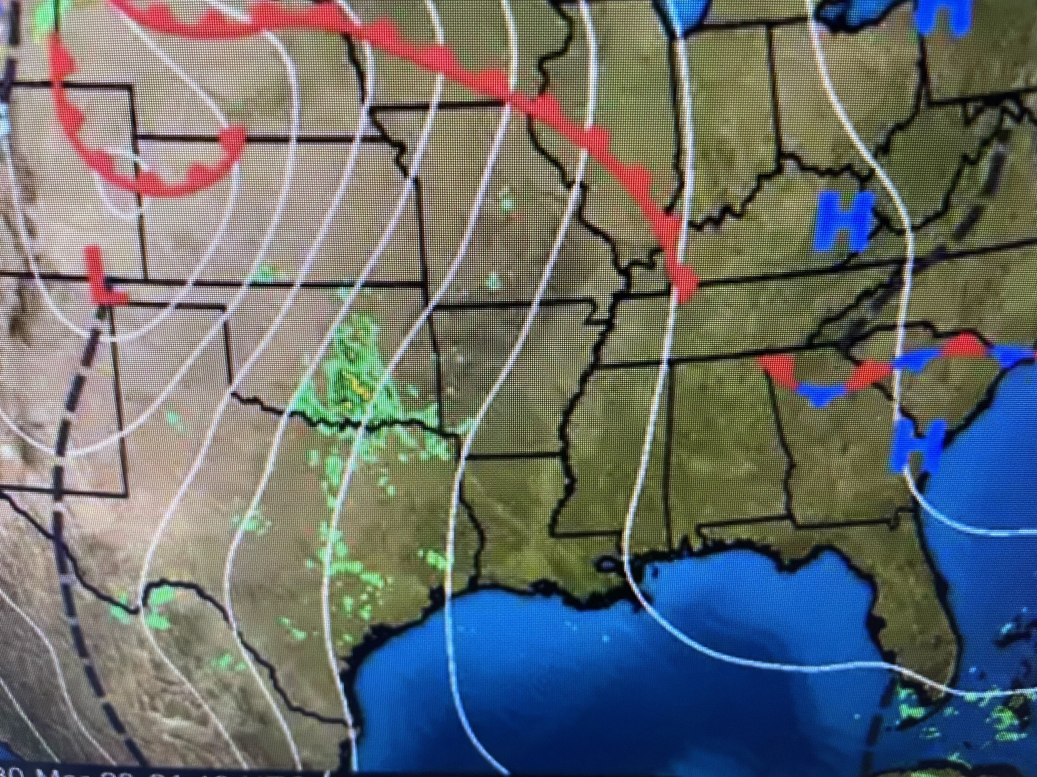

Our question really centers on whether the approaching front will have enough push to get through us on Saturday. Even if it does, there will be only slightly cooler air behind it.


As this front with it's surface low lifts to our north tomorrow, look for winds to be cranking (15-25+) from the SSW on Friday.


As the bottom graphic shows, we already have 10-18 mph winds over us coming in from the SE. That will keep our morning lows much warmer than last night.


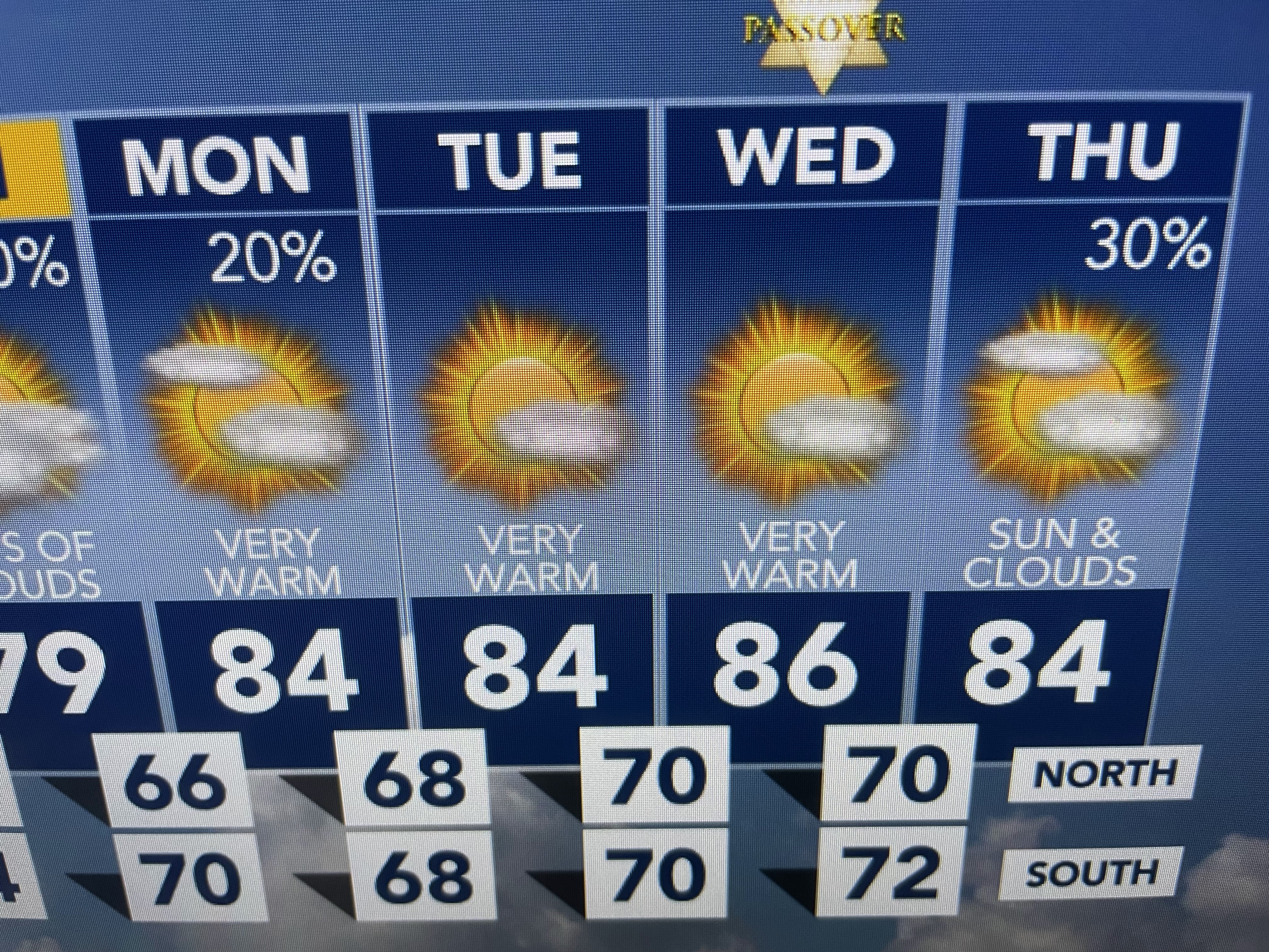
Today's high topped out at 78 under bright sunshine. Friday will have a different feel, more summer-like. Finally...


Today's clear skies allowed me to grab these views of the muddy Mississippi. Notice how murky the water is in Lake Pontchartrain, Lake Borgne and east of the River. Another surge is coming down that will send the river level near 13' feet again for the next several weeks. We don't want to see heavy rains over the Ohio River Valley during the next 4-6 weeks as that could send our River levels above 15 feet. Stay tuned!

No comments:
Post a Comment