Note how the 30s, 40s & 50s cover the eastern states. Hannah Gard showed a graphic of our current cool spell where only 3 days out of the past 15 have been above normal.
With a mainly west to east upper flow over us, the real chill remains to our north.
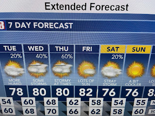
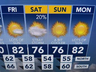
Several upper disturbances will give us rain chances Wednesday & Thursday & again on Saturday.
As I mentioned yesterday, this upper pattern will keep us from going into an early season heat wave. I frankly enjoy the 60s & 70s. Put on a sweater or light jacket and it's the good feel air. In the short term...
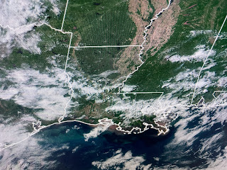
There are obviously many sunny breaks, and rain chances on Tuesday will be low, but highs should again be well below that average of 80. A look at our records show us that we have reached the time of the year where we start talking about our first 90 degree day. That won't happen during the next 2-3 weeks. Enjoy! Stay tuned!


No comments:
Post a Comment