

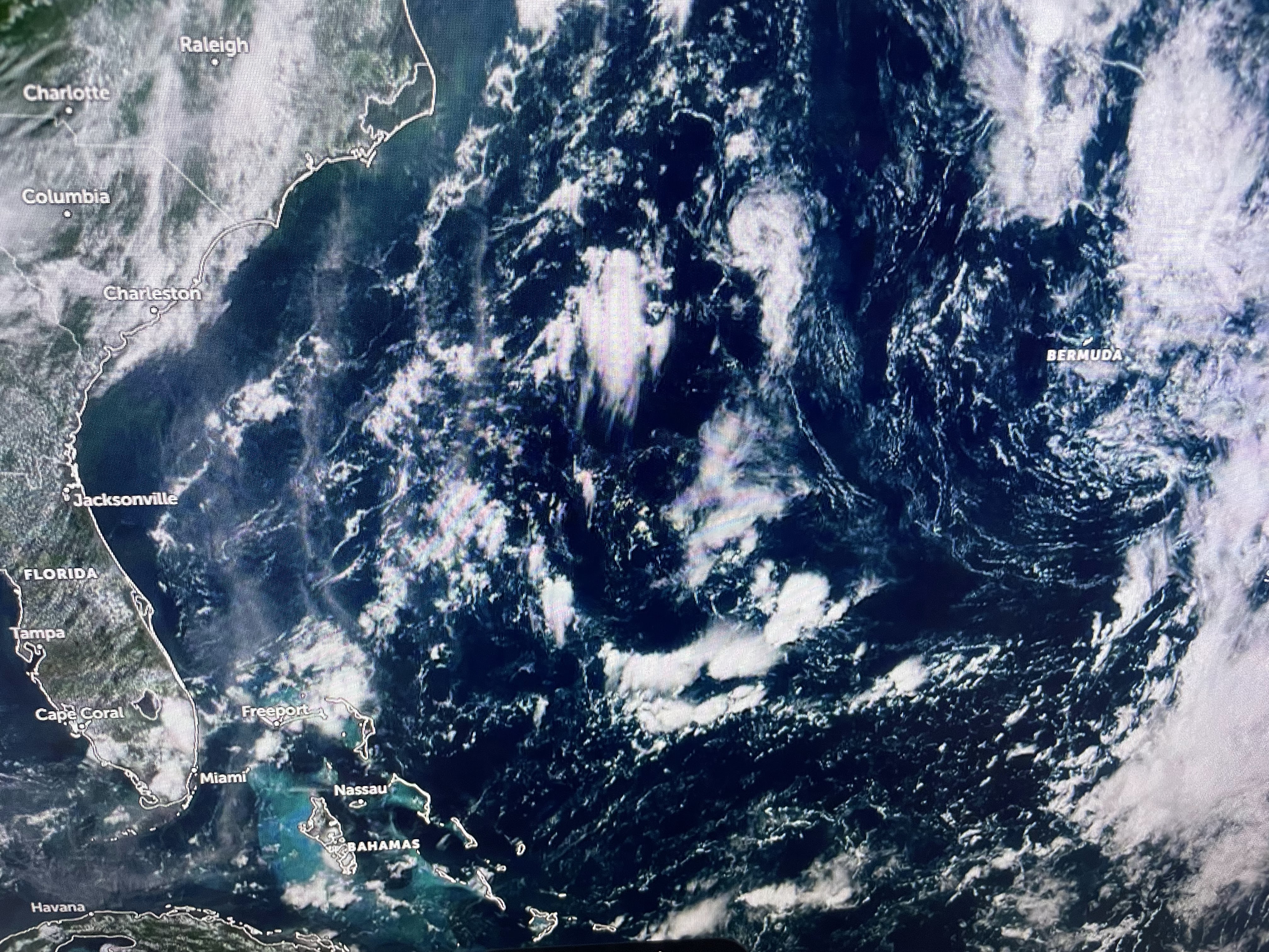

There is an ill define swirl of clouds near Bermuda that NHC gives a 10% chance for development. Whatever, it's no threat to the U.S. The Eastern Pacific is a different story.


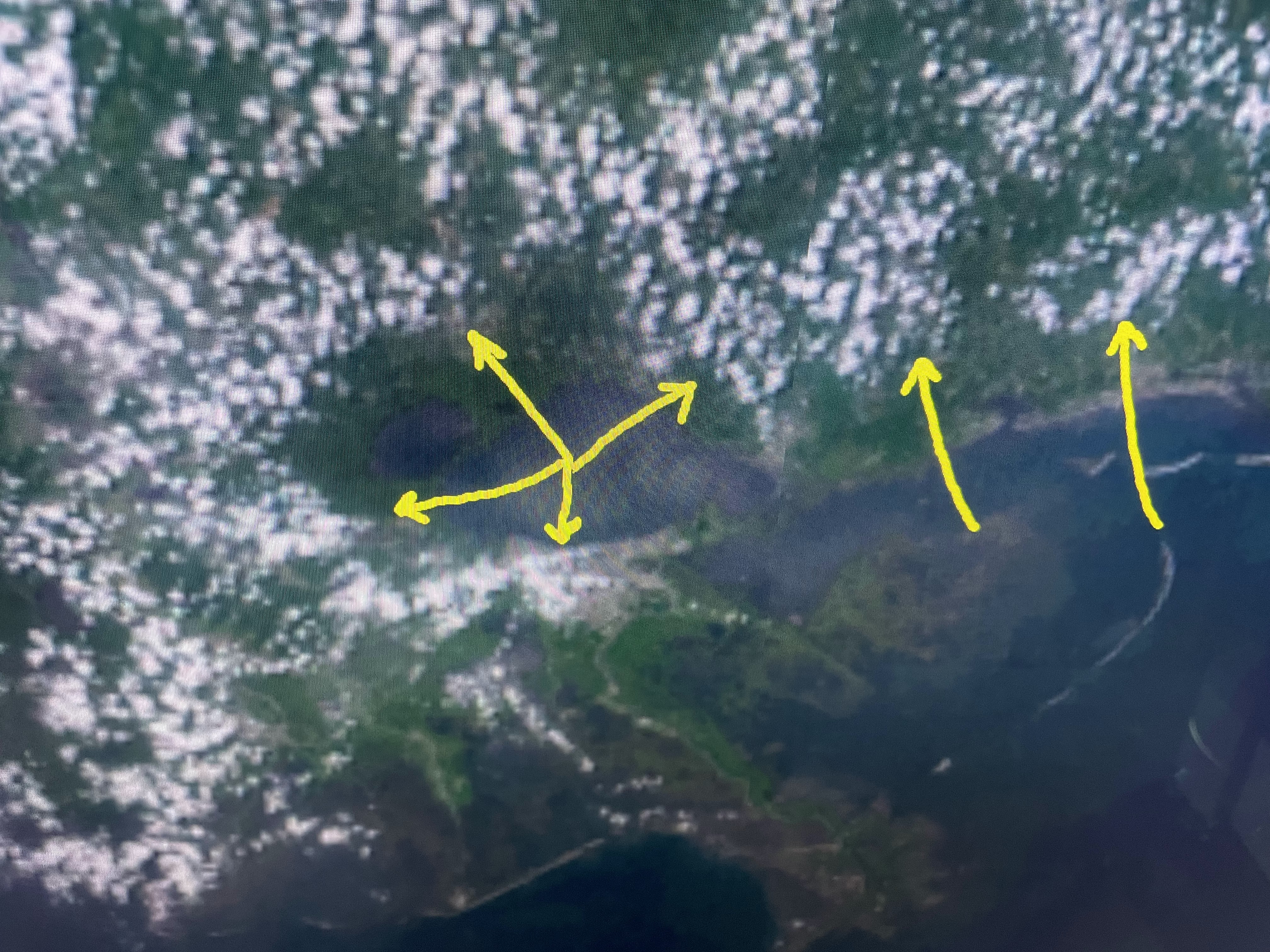
The cloud cluster on the left is Cat. 2 Hurricane Adrian while the one on the right is Cat. 1 Hurricane Beatriz. Adrian is heading out into the Pacific, but Beatriz is hugging the coast. The NHC forecast track takes her well west of Puerto Vallarta, but she could take a swipe at Cabo San Lucas. As the system heads over cooler waters, she will weaken. The other news is an end to our heat wave is coming.


The center of the upper dome is now just to our east and the dome is expected to weaken as an upper trough dives southeastward out of the Rockies. Here's what that looks like for this weekend.


The top graphic is from this morning with the middle valid for Saturday morning and the bottom view valid for Sunday morning. You can clearly see the dome being flattened and pushed to our south. That should result in some daily storms to bubble up bringing us cooling relief.


I'm more bullish on storms developing over the weekend, especially by Sunday PM. Look at the radars to our north.


Not sure if we hit 100 at MSY, but we're close. The past several days have seen brisk west winds that prevented the Lake breeze to develop. Not so today.


Check with Bruce at 5 PM to see if we made back to back 100+ days in a row.


One reason I think we'll start seeing T-Storms firing off once the upper high weakens is the high (70+) dew points soaring to Kansas City to St, Louis to Louisville. Intense daytime heating coupled with juicy/moist low level air equals T-Storms firing off. I say, bring it on Mother Nature! Bud a Bam! Enjoy your holiday weekend, but pay attention to the heat and any intense storms that develop. Stay tuned!

No comments:
Post a Comment