


As the air flows around the western low and up over the ridge, winds from the SW are keeping the Canadian western smoke away from the lower 48. However, the opposite is happening over the East.


So until the blocking pattern shifts/changes, the smoke will continue coming. But models are indicating there will be some upper air changes. Let's look at the charts for the next 5 days.


The top graphic is from this morning with the eastern upper low way stronger than the one out west. The next map is valid for Saturday morning showing the eastern low lifting out to the northeast. However, the next 3 have another low dropping down into the eastern trough. What that should do is bring some welcomed rains to those eastern Canada fires. It should also prevent a big upper ridge from forming over us for next week. Right now, everyone is screaming big (95+) heat wave coming. I don't see. it as everyday now our high is supposed to be 90. To reach 95+, we need an upper ridge to form capping/limiting our daily cooling T-Storms. We'll see. Of more concerning is what the GFS is doing in the 10-14 day range Take a look.

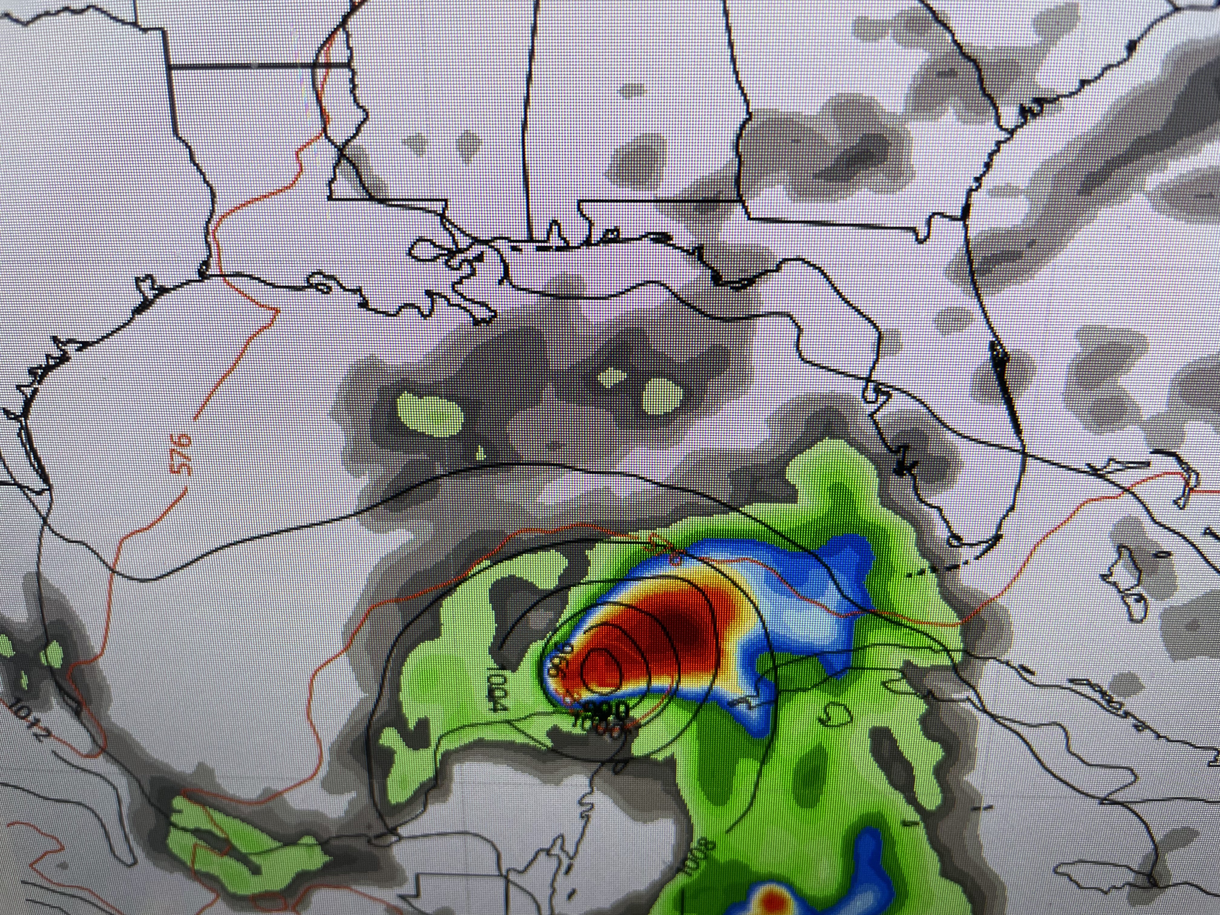


The GFS is trying to form a storm over the western Caribbean taking it across the Yucatan and into the central Gulf south of us eventually heading into Texas. Do I buy that solution/ Nope, as I read Dr. Levi Cowan saying the GFS is notorious at trying to form systems in the Caribbean 10-14 days out. Most often, it's wrong, but it's something to keep an eye on.


On the surface map, a weak front is trying to sag down to us with much drier air behind it. I don't think it'll have enough of upper support to drive it through, but it could get close enough to spark an increase in storms for Saturday & Sunday.


If you are lucky enough to get a cooling storm, it sure does make a difference.

It's 77 in Slidell while Baton Rouge is 93 & MSY 92. Location makes a big difference.


Unless I'm reading the upper air models wrong, I don't see how we turn very hot & mostly dry next week. We'll see. You know we're not getting cooler until October! Stay tuned!

No comments:
Post a Comment