Monday, July 31, 2023

Blame it On The Upper High...

We reached 100+ degrees this afternoon to easily break the old record.  So what is going on this summer?  We just completed a Grand Isle Tarpon rodeo without any rain & little wind.  A dry June is followed by a dry July.  What has happened to our daily PM Storms?  To paraphrase James Carville, "It's the Upper High Stupid!".  It's actually more than that as the surface Bermuda High/Atlantic Ridge (blocking High) has retreated way out into the Atlantic.


So with the upper East coast trough coupled with the lack of a blocking surface high, all tropical activity is being forced to turn away from the United States.  Better yet, none of these disturbances have been developing, a trend that I hope continues well into August.


What we need to happen is for the upper heat dome to break down or retreat back to the west allowing for upper lows to move over us like has happened in Florida today.   That has allowed widespread showers & T-Storms to develop bringing welcomed relief from the brutal heat.  That is not likely here for the next 2-3 days as we could see a stretch of highs 100+, which is a rare event.  In fact, it's only happened twice at MSY since 1946.


Our only hope for relief is for a cluster of late PM storms to fire off around the "ring of fire" upper heat dome. That seems unlikely.


However, one such cluster is over Baton Rouge today.  The rain has cooled BTR down into the 80s while most of us bake around 100.


So, despite what the national media keeps over hyping, our nation is NOT on fire.  Take a look at current 4 PM temps.


From Minneapolis to Chicago to New York & Boston, it's a comfortable summer day.  Same story for most of the big cities out west.  Sure it's hot over the southern states, but as a nation, we're not on fire.  The real story should be what is causing the lack of the blocking Bermuda High and few, if any, tropical waves coming off of Africa?   Too easy just to say "climate change".  But wait, it happened in the 1930s, again in 1980 and again in 2010.   Could it be a climate CYCLE?    Stay tuned!


Sunday, July 30, 2023

All Hail Tarpon Rodeo, Hail Grand Isle Strong...

When I left for Grand Isle, everyone was talking about how hot it is or NHC trying to get something to develop so they weren't bored.  4 days later and we're still hot (Duh!) and NHC is still following 2 areas for development.  However, I begin with The International Grand Isle Tarpon Rodeo.  My first impression on getting to the island was the number of camps/homes that have been rebuilt higher/stronger & prettier.  However, far to many have been left to rot and are eyesores that Grand Isle doesn't deserve.  The beach is wider and the sand whiter.  It's not Gulf Shores or Destin, but what an improvement since the BP spill.


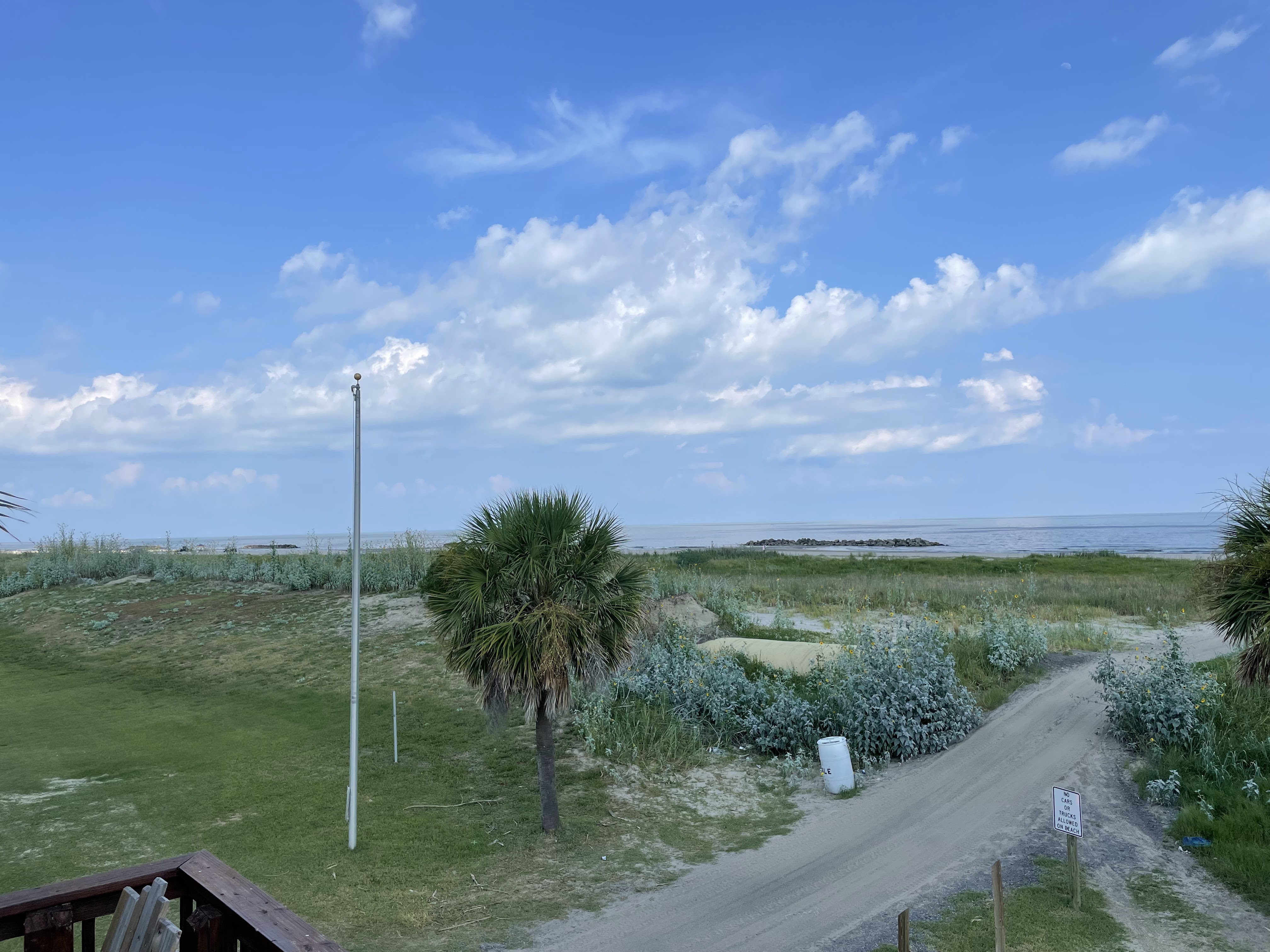
In fact, the beach has grown that it looks like a mini-Daytona with all the ATVs.


The rock jetties have rebuilt the beach to the extent you can walk out to them at low tide.  It's shameful that the burrito levee is still exposed in places 2 years after Hurricane Ida.  But progress, though painfully slow, continues each day.  As for the Tarpon Rodeo...wow what a weekend weather-wise!  No storms, little wind, slick Gulf resulted in many big fish brought to the weigh station.  I was honored to be the MC for the awards ceremony for the 38th time.  The pavilion on Saturday night was packed for the trophies and the $10,000 cash prize that went to Wayne Stabiler.  For the first time ever, the largest Tarpon (168+ lbs) went to a woman, Jessica Landry. Congrats!


Special thanks to the Otto Candies family and to Captain Pat Belanger who put my partner, Dr. Rob Muller on to the first redfish weighed in on opening day.  The 22 pounder didn't last in first place very long as the winner weighed in at 36+ lbs .  All in all a great weekend to be on Grand Isle.


This spectacular photo was captured by artist Sabrina Schmidt, who painted this year's Rodeo poster.  


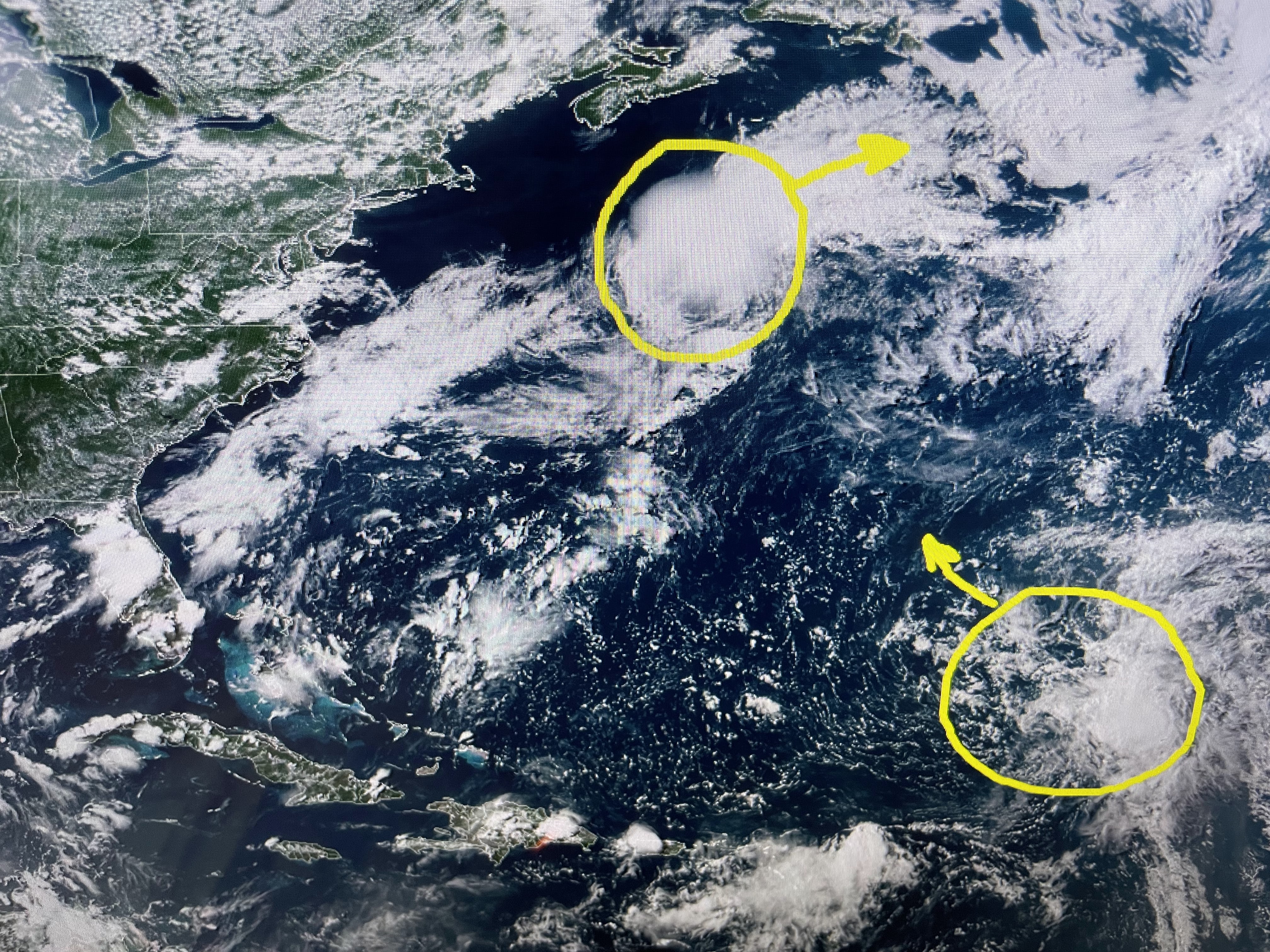
NHC has highlighted two areas to watch.   There is an upper low just north of Cuba, but the other 2 Ls are surface rotations.  We could have Emily & Franklin back to back this week, or perhaps both won't develop?


The upper heat dome continues for us, but not for the folks up north.


Most of the T-Storms are far north and east, but a few are firing off during daytime heating.  Without the rain, we bake.


Before you freak out, we are historically in the hottest 3 weeks of summer.  It's not so much our daytime highs have never been so hot, but rather the night time lows are staying above 80.  That keeps us on track for having a top 5 hottest July.   Stay cool & Stay tuned!

Tuesday, July 25, 2023

NHC Won't Give Up Trying...

As we head towards the heart of the Hurricane Season (August-Oct. 10), tropical activity historically increases with a peak around the 10th of September.  NHC has been highlighting areas for possible develop this week, but nothing has happened.  Today (based on computer model runs) they added yet a third area way out in the Atlantic.


Let's begin with the newest area off the African coast.  Yeah, there is a cluster of clouds, but nothing that indicates rotation.  But (as Lee Zurik often says) there's more!   Take a look at model forecasts for late next week.


The GFS develops this disturbance into a hurricane that will threaten the Bahamas & East coast.  However, the GFS model has done this several times before this summer & nothing happened.  It's something to watch for the next 10 days, but right now IF something forms, it turns up the east coast.  Closer to home...


Invest 95 L has done nothing as it moves into the eastern Caribbean where upper wind shear is king.  The other upper low east of the Bahamas also has not developed.  NHC lowered chances down to 10%.


The old boundary down in the Gulf has become less defined.  Like most of this summer, it is rare that no showers/storms are around from Houston through the Florida beaches.  Why?


For much of this summer, the nation has ben dominated by an upper heat dome that waddles back & forth across the southern states.  We have stayed on the eastern side with that frontal boundary sagging into the Gulf.  The result has been lower dew points/humidity.  It's still hot, but it doesn't feel as hot!  yeah right!


Without our daily clouds & storms, look for the next 7 days to be way too hot.  Gardeners will need to keep watering as Mother Nature won't help out.  The good news is it looks like great fishing weather for the International Grand Isle Tarpon Rodeo that begins at daybreak on Thursday.   It's not too late to register for an opportunity to win the Grand Prize of $10,000!


Just go to www.tarponrodeo.org and click on "home" then register.    You don't have to fish to win or even come down to the island.  Just register for $55 and I could be calling your name Saturday night as the winner of $10,000.   


Finally, I've been talking about an "agenda"  the warming alarmists are pushing.  The top two graphics are from last night's World news Tonight.  The top one shows warm to hot temperatures, but that's what is supposed to happen at this time of the year.   93 in Chicago is NOT extreme.  Dallas at 103?  Remember the summer Dallas had 42 days in a row above 100?  This summer is not close, but that's not what the Alarmists want you to hear.


Even NOAA's charts are misleading.  The top graphic show "Temperature outlook" when in reality it's the PROBABILITY of being above normal/average.  IF you just buy into the top graphic, you'd say we're in a climate crisis.  It's an agenda Gang.    Stay tuned!