
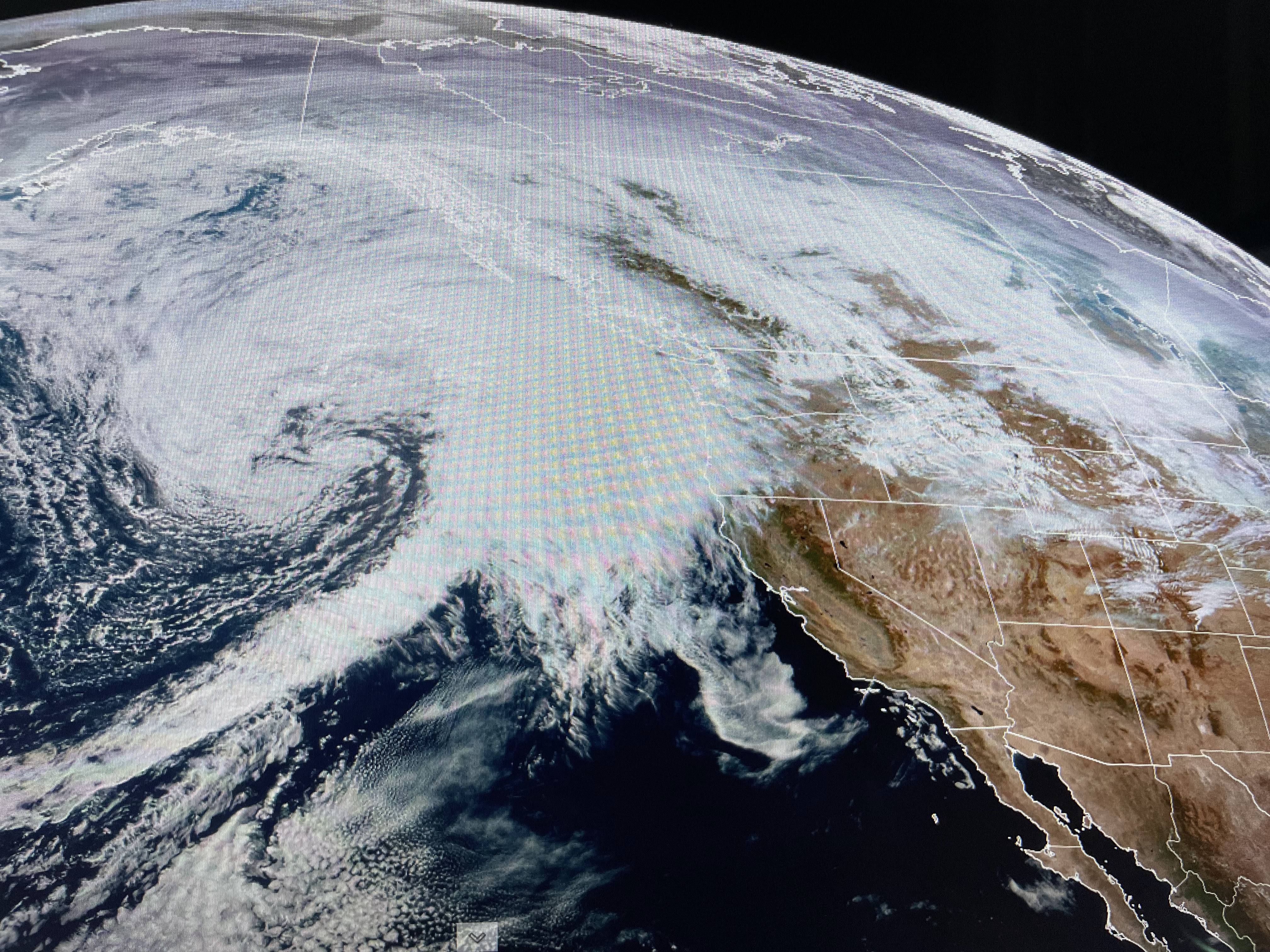


In this El Nino Winter, the southern stream (sub-tropical jet) is supposed to be very active bringing rains to California and across all of the Gulf South. That is not happening yet as the satellite view has nothing in the pipeline west of the Baja. With mainly west to east upper flow, the cold air will remain bottled up over Canada keeping most of the nation with above normal temps. into next week.


That flow also means there will be no widespread rainfall over the Mississippi & Ohio River basins. So if you like it warm and dry, you'll enjoy the next 5 -7 days.


As we get more humid at lower levels, look for daily patchy fog to form. Coupled with the lingering local marsh fires, we need to pay attention when driving late at night & early in the morning. Finally...


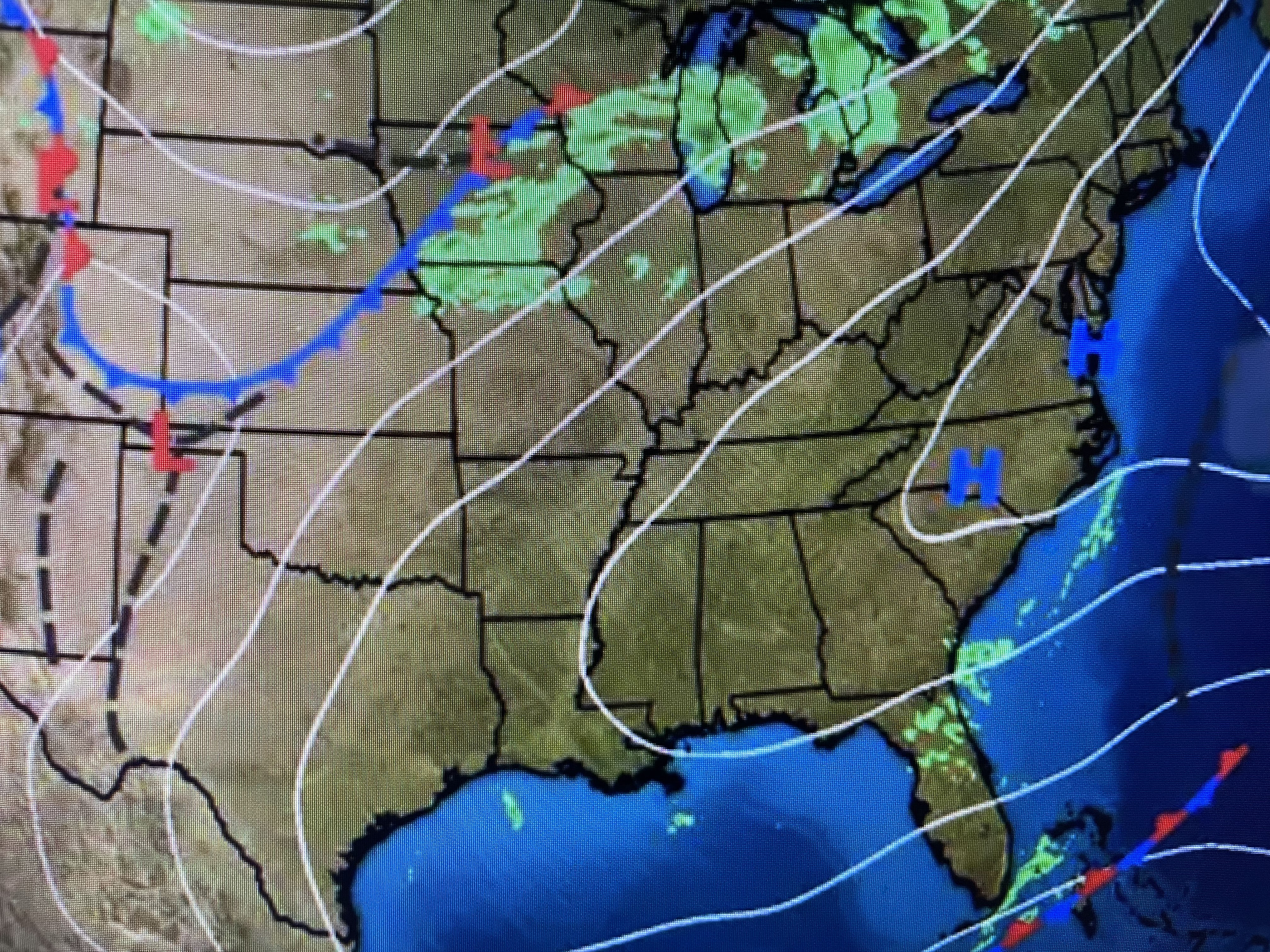
NHC is determined to get through the whole list of named storms this year. I don't see anything happening for the next 7-10 days, except over the Eastern Pacific. There is an interesting feature that has been over the Gulf all day. It would be nice to see it shift a little to the north to bring us some rain. Remember, when in drought, leave it out. Enjoy your weekend & go Tigers & Roll Green Wave! Stay tuned!

No comments:
Post a Comment