


So the question tonight is...will some clouds drift down from the north keeping lows above freezing?


We did warm into the 50s with all day sunshine, but Lake Pontchartrain will not have the usual warming effect for the South Shore. Surface winds are WSW and that should keep those north of the Lake warmer. The bottom graphic from Amber Wheeler has the freeze line staying north, but there is a chance for widespread frost south. Here's what the computer is thinking.


So this is more a plant, pet, & people pay attention night as pipes should not have any issues. My yard has been prepared since yesterday.


The reason the upper pattern will start moving can be found over the Pacific, where a series of storms are aiming for the United States. The first system is bringing high surf and some rain to California with the next 2 disturbances the ones to watch for us.


Amber highlighted the current model timing (which will change) and it's the third system that captured my attention. It appears enough cold air finally is drawn down to produce a southern snowstorm not far from us. IF the cold is stronger and/or the center of the low farther down over the Gulf, all you snow geeks get ready. There is a little potential (2%?!!!) that we could see the white stuff. But we have to get the cold down. It's over Siberia and parts of Alaska so the next 2 weeks will be interesting.


In the short term, our nights will be chilly, but the days will be warming up.


Saturday should again see lots of sunshine with some clouds returning late New Years Eve. Any rain will be more towards New Years daybreak so all firework activity should be OK.


So enjoy tomorrow as we head towards an unsettled weather pattern for next week. Finally,

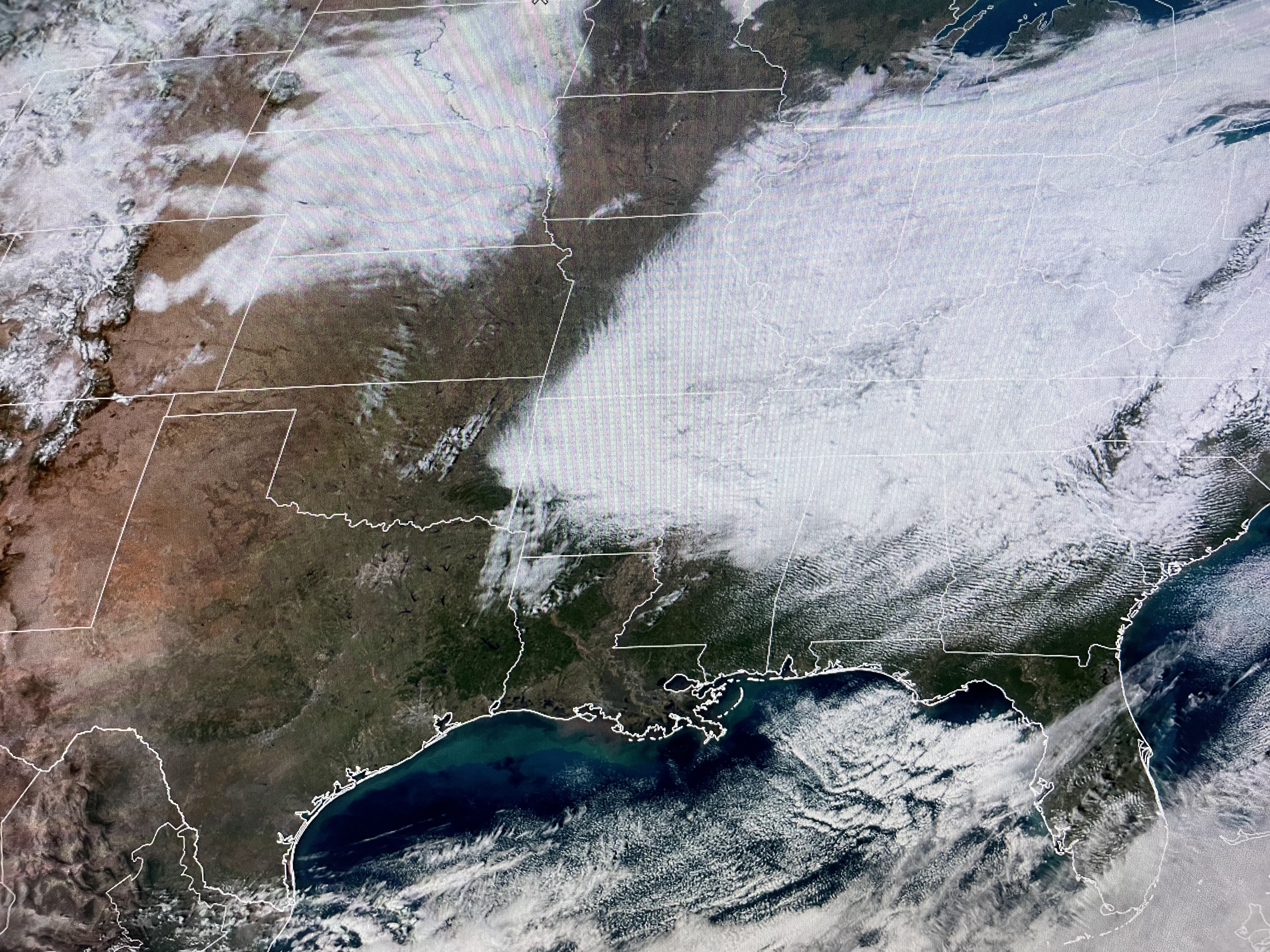

I began with the sad smiley face, but look at the white area out over the Plains. That's all snow on the ground. How can you tell? Look closely, you can see the river features. Neat. Stay tuned!

No comments:
Post a Comment