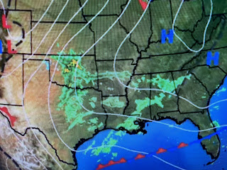
This could make for a longer rush hour & you need to allow more time driving into work. As the upper system leaves, the WSW upper flow will keep a frontal boundary along the northern Gulf coast.
As you can see, there is no real cold air anywhere. In fact, Denver is warmer than us!
You can see the lightning well south of the Louisiana coast. This should be welcomed rainfall and I don't expect any widespread flooding. SPC is not calling for any severe weather.
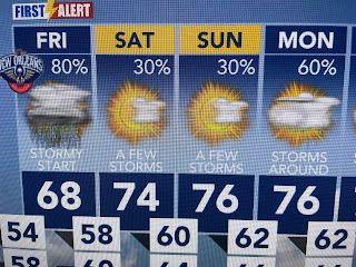
So as meteorological Spring begins tomorrow, temperatures for the next 7 days will be well above normal/average. I still see some colder air returning by the middle of the month, but it doesn't look like any freezing problems in sight. Here's the timing on Friday's rainfall.


No comments:
Post a Comment