Living here for the past 46 years, my fading memory tells me the real ugly heat of Summer doesn't arrive until the 2nd weekend of Jazz Fest. Typically, our 1st 90+ day day doesn't happen until we're into May. Tomorrow could get close ahead of our next cold front coming Sunday morning. There still is plenty of chilly up north & Denver will see some snow tomorrow. The reason? Look at the upper flow.
It's essentially flat (west to east) over the lower 48 with an upper trough north of the Great Lakes. That is bringing the Canadian chill across the northern tier of states. But that doesn't extend very far to the south as the higher sun angle and longer days moderate the cold before it reaches us.
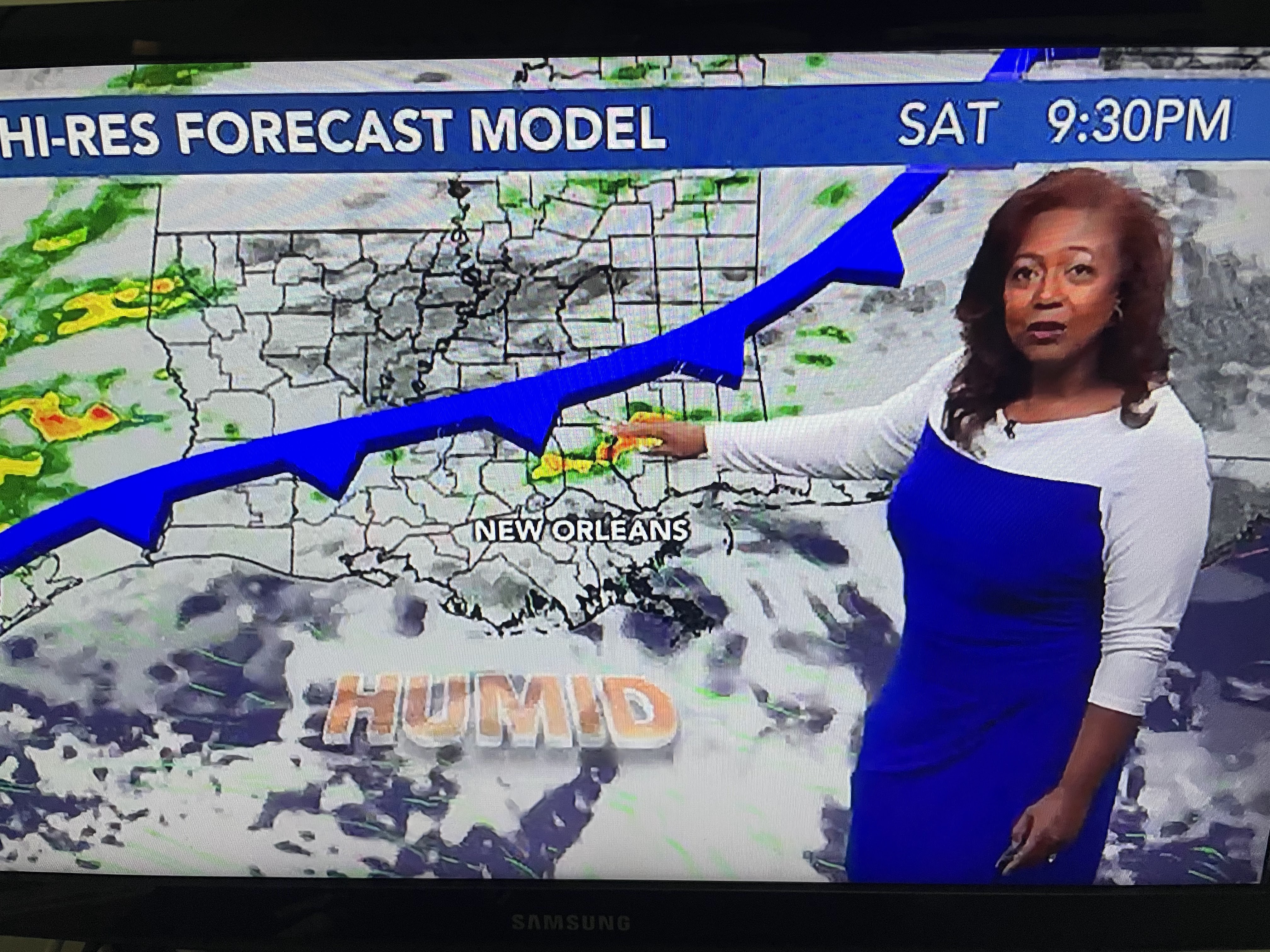
Right now, the cold front is stalled waiting for the weak upper disturbance over the Southwest. Here's the timing from Nicondra Norwood.
I suspect we will not see much rain with this front (SPC is not indicating any severe threat) & the highest rain chances happen after midnight and before 10 AM on Sunday. Before the front it'll be warm & humid with brisk northerly winds ushering in the cooler , drier air for Sunday PM into Monday.
The humidity will be back by Wednesday so enjoy the feel for at least 2-3 days.
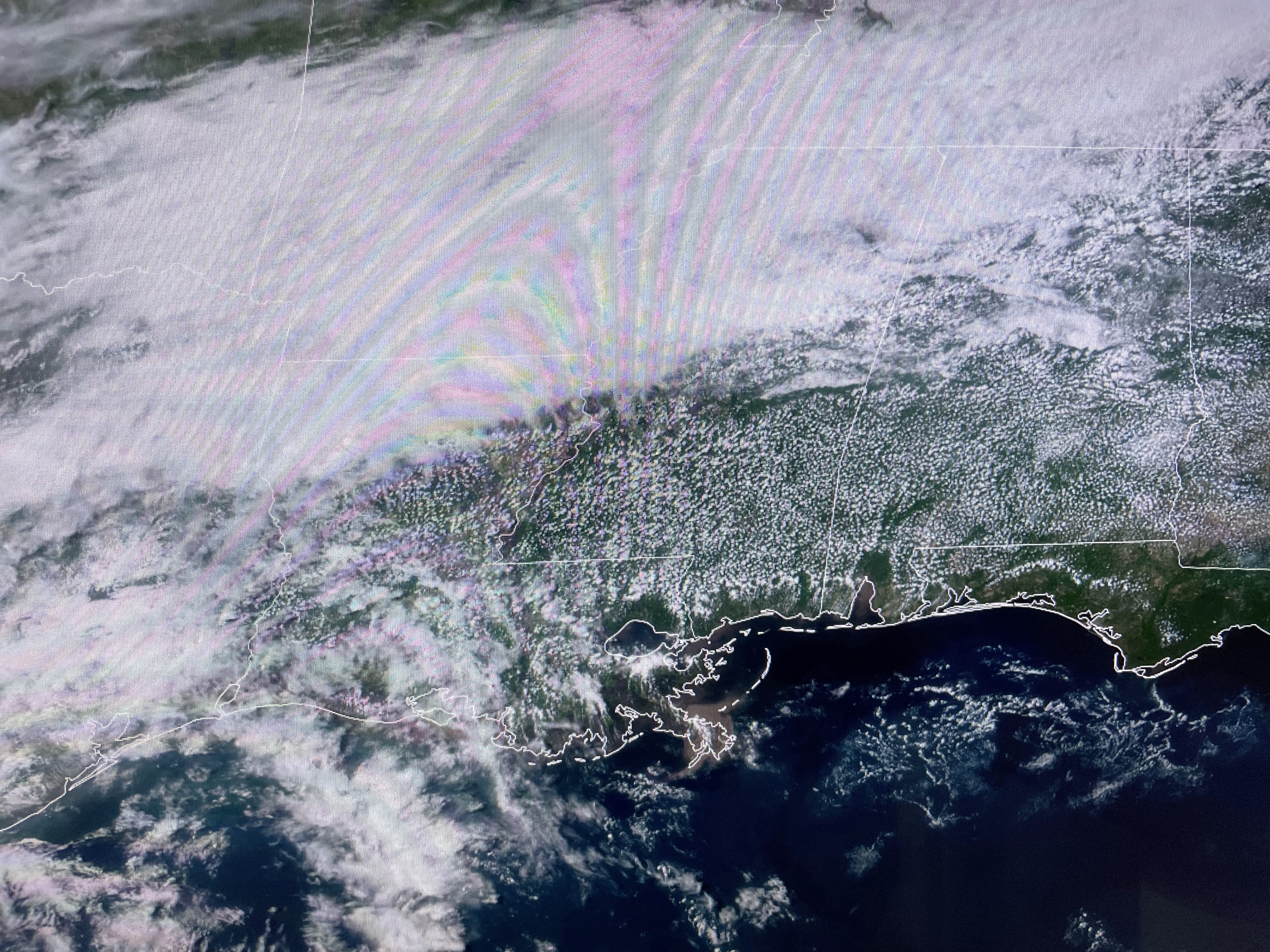
Finally, here's a sign of the season. Satellite views clearly show the "sea breeze front" that happens most days during the summer. The cooler air over the coastal waters is drawn over land as the sun heats up the ground. This pushes the clouds inland away from the beaches and along the North shore of Lake P. Often, the sea breeze coming up from the Gulf south of NOLA meets the "Lake Breeze front" from Lake Pontchartrain triggering clouds and storms. We saw the clouds today and they had dark bases, but no rain was seen on radar. Get ready for one of our last cold fronts on Sunday as we begin our march towards the start of Hurricane season 2024. Ugh! Stay tuned!


No comments:
Post a Comment