
Back in 1957, I was still only 9 years old when Hurricane Audrey roared ashore over western Louisiana as a Category 4 storm. That number was revised upward (originally a Cat. 3) making her the strongest June landfalling Hurricane for Louisiana. Obviously, the communication technology back then was primitive compared to modern times and that resulted in over 400 lives lost. Fortunately, this year the Gulf remains quiet.


The months of June & July typically don't see the strong/major hurricanes, but Audrey showed us it can happen. So as we approach the heart of the 2024 season, I'm thinking of starting a hurricane podcast. In case you missed it in yesterday's post;
My
sons and I have discussed starting a podcast and publishing a show at least
once a week with more updates during hurricane season. They created this poll
to check the feasibility and demand to take on this project. We would make
this available as a paid subscription podcast to offset the costs of producing
and hosting the podcast free of any advertising.
Take
the poll here:
Now back to the Tropics. NHC is watching two areas (94 L & 95 L) for development. Let's begin with 95 L way out in the Atlantic.


I see two waves coming off of Africa, but NHC says it's the one out in the middle of the Atlantic that's 95 L. By designating it an INVEST area, that allows computer models to run forecasting future tracks.


The bottom 2 graphics are from the Euro model and it brings 95 L into the Yucatan as a named storm. We have a long time to follow whatever MIGHT form. Closer to home, NHC is following Invest 94 L in the Central Caribbean.


As satellite views show, we have clusters of disorganized T-storms that continue a brisk movement to the west. Computer models bring whatever MIGHT form into Central America and not a problem for us. Tropical waves are common coming from Africa through the Caribbean and into the Gulf. Most never develop, but several always do so we need to pay attention when one nears us.


That's unlikely to happen anytime soon as there remains a northerly flow over the Gulf South that would turn storms away from us. It would be nice if that flow could bring us a cold front!


Alas, that's not likely to happen, but as the frontal boundary nears us, it will increase rain chances.


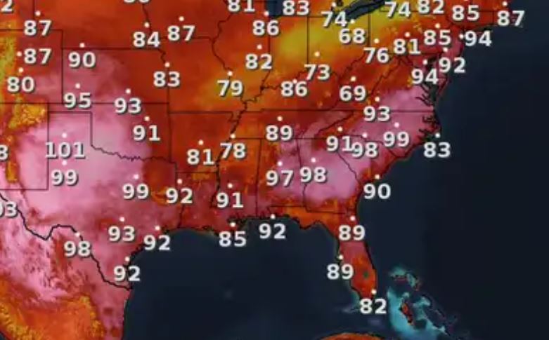
So the best cooling relief coming here are cooling spotty storms.
.jpg)


So if you're interested in hearing my gut feelings during the heart of Hurricane season, or why I might disagree with the models or NHC, take the poll and let me know. Stay tuned!

No comments:
Post a Comment