
I've mentioned in a previous post that we're going to the beach (Perdido) for my B-Day, a trip that has been planned for months. But Bob, it's still very much hurricane season! Duh, that's why you get insurance in case a storm changes plans. I am not about to cancel until I see something form, and nothing is there yet. There is just something about seeing the beach & water, especially if you're looking out from an upper floor condo balcony.


Look how attentive Bailey is looking out over the water! The bottom is Brenda's beach bride getting ready to walk outside for the ceremony. You can view more of her art work at www.brendabreckart.com. I'm getting excited, but I also know I could be disappointed IF something forms in the Gulf late next week.

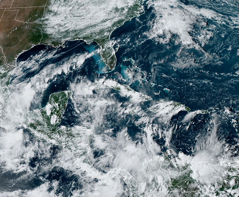

One thing that is different from last week (Helene's set up) is the upper air. The bottom view is the water vapor that has the usual upper high off the East coast, but upper lows from the southern Gulf to the central Caribbean. Upper lows indicate the environment in the short term is hostile for development. Perhaps that is why NHC did not increase the chances for development on their Tropical Weather Outlook (TWO). Also, I'm sure most of you who constantly monitor model runs have seen how all are not pumping something up like they did before Helene. We keep watching and not cancelling plans whether for the beach or Disney World.


This week will be very summer-like starting out with lower humidity. That
will slowly change as tropical moisture returns late week.


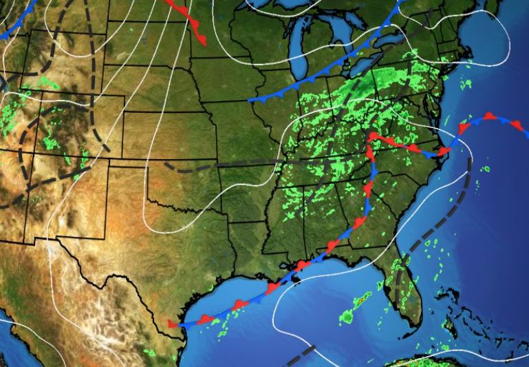
So let's keep enjoying our sunshine & keep praying for those still suffering from Helene. Look at this graphic.

Helene was an enormous storm that brought some locations 1-2+ FEET of rainfall. I've seen videos of unbelievable destruction with interstate roadways washed out. Sad to watch and they don't need any more. Stay tuned!
No comments:
Post a Comment