


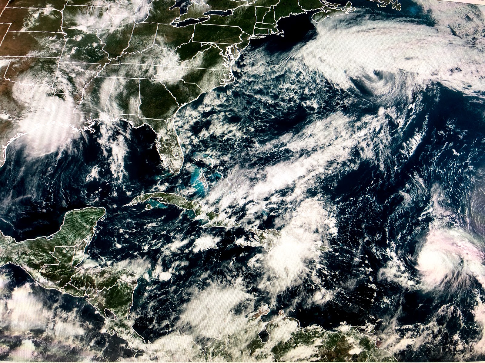


NHC only gives the swirl south of Puerto Rico a 10% chance for development as wind shear appears to be too strong. Jerry is showing a track that will turn it out into the Atlantic with no threat to the U.S. As we near late September, it is difficult for any system coming off of Africa to make the trip all the way across into the Gulf. We should focus on the Western Caribbean and Gulf during the next 2-3 weeks as that is where (climatology tells us) we might see a future threat. Models are not showing any real cold fronts for the next 10-14 days. A weak boundary coming in from the NE (backing in) will give us slightly drier air for Saturday, but there are no signs that sweater weather is coming...Yet! Stay tuned!

No comments:
Post a Comment