


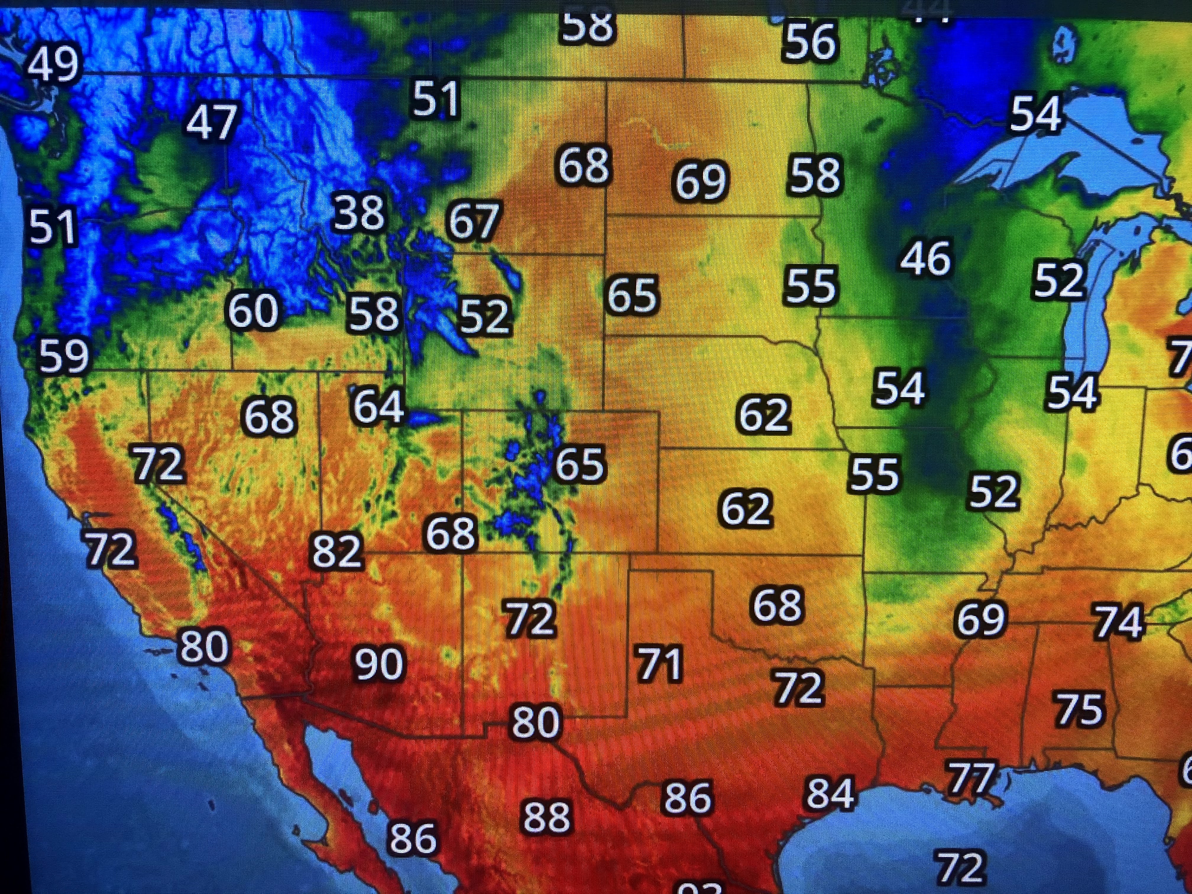
Dew points are in the 30s & 40s to our north and west, but the cold front appears to be "washing out/dissipating near us. Hopefully we'll see 2 dry days before the shower threat returns late Monday into Tuesday..


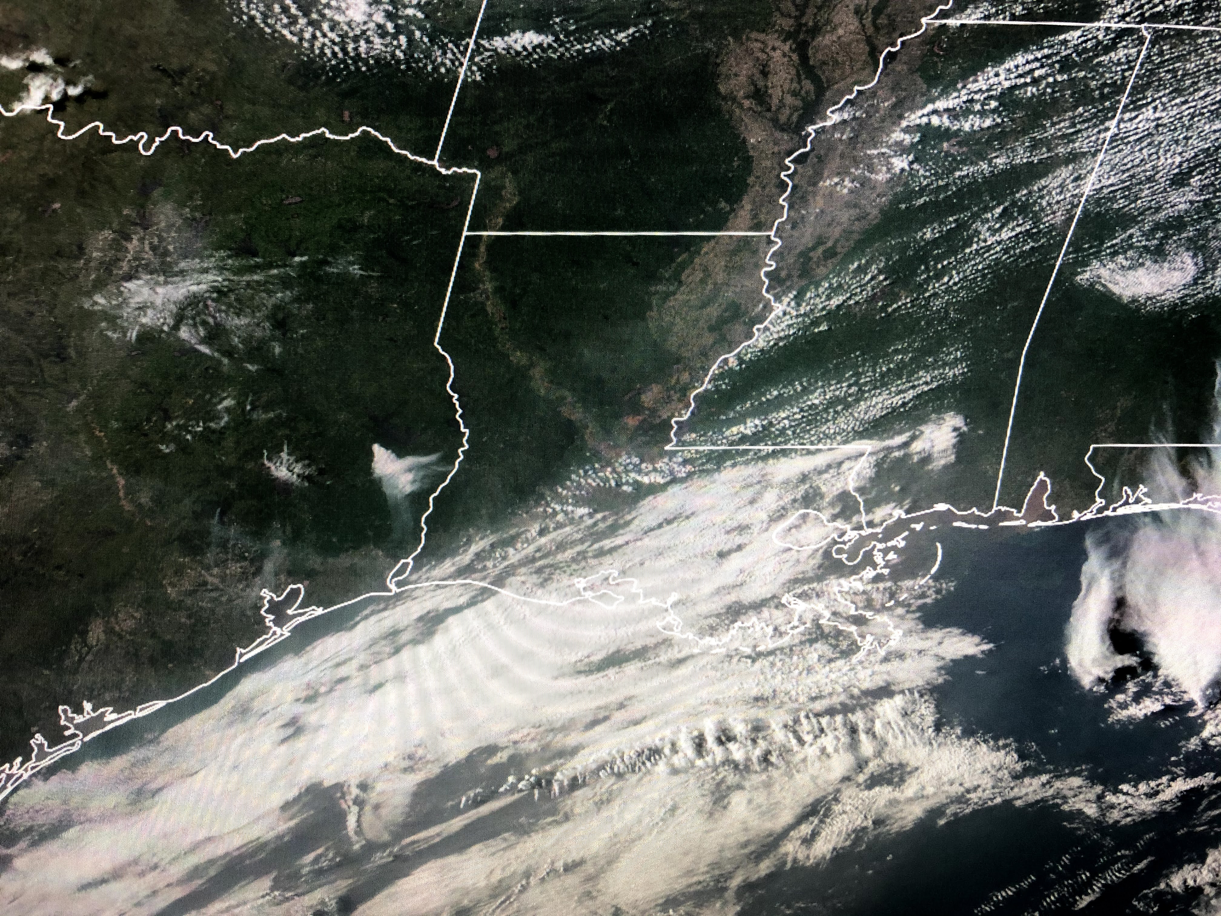
Satellite views have nothing coming to us from the West coast, but once the surface high pulls to the east, return flow off the Gulf brings back clouds and low level moisture. Right now it doesn't appear to be a week for severe weather as there will not be a strong upper disturbance coming in the short term. We'll have to see if the frontal boundary lifts back far enough to the north to keep the stormy pattern from coming back on us? Rainfall totals were 2-3" across the South Shore with 3-4" for the North Shore and Mississippi Gulf coast. We could use some time to dry out. I'll be away from my computer for several days so don't get alarmed. Facebook has not blocked me again! Next post Thursday PM. Stay tuned!

No comments:
Post a Comment