Dolly Parton had a hit record years ago about an old boyfriend who kept coming back, much like our next severe weather threat. SPC has the greatest danger/risk over the North Shore and along the Mississippi coast, but we could see some strong storms south of Lake P. too.
The top 2 graphics are valid for tonight with the bottom valid for Saturday morning. It appears our highest risk time will be between 4 AM & 8 AM.
In addition, there is a heavy rain threat as the above graphics from NWS show. 2-3" should be common across the North Shore with 3-4" possible along the Mississippi coast. Why Check out our dew points which have climbed above 70 this past hour indicating plenty of low level moisture.
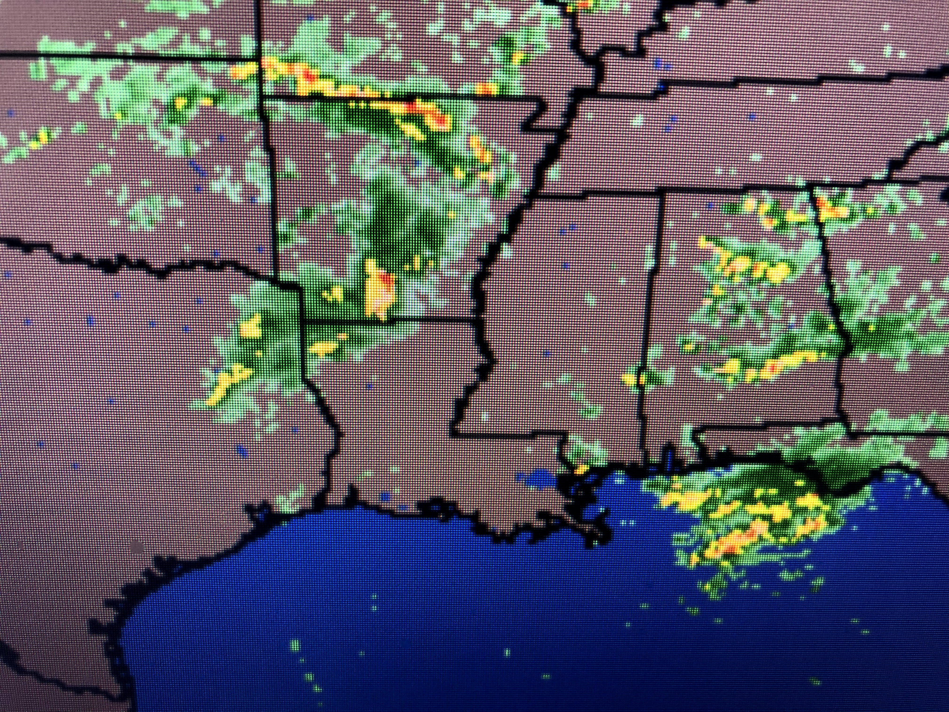
Radar currently has no rain around us and it will be way after midnight before we have any issues. Once again you'll need to depend on your FOX 8 weather app to wake you if warnings are issued.
Satellite views have some sunny breaks over us now, but that will change as the next upper disturbance (arrow) triggers the expected severe weather threat.
Look at how warm we are as this upper disturbance approaches. All the ingredients are there for some active storms late tonight into Saturday morning. Saturday PM should dry out with Sunday turning beautiful for one day. Please have your phone next to you tonight as I do expect we'll get warnings much like the last system earlier this week. Zack Fradella will be on FOX 8 in the early morning hours if warnings are issued. Stay tuned!


No comments:
Post a Comment