


The daylight/visible loops clearly show a well defined circulation. However, the color infrared (IR) view has total chaos/disorder of T-Storms. I have no clue why he isn't developing, but the longer he struggles, the better. The bottom past center line track shows the well established move to the NW and that is what NHC believes Ian will continue moving.


If you are following that center line closely, as I've coached you to do for 4 decades, you can see the latest NHC forecast is nudged slightly farther to the EAST, away from us. Here is the comparison from the 10 AM forecast to the 4 PM.


Earlier it was going west of Valdosta, but now they shifted it farther to the east. My gut tells me this eastward trend will continue placing all of Florida's west coast under the gun. IF landfall ends up near Cedar Key, that places the eyewall over St. Pete/Clearwater/Tampa Bay. Could that still change? Absolutely, but much like Ida last year, a shift in the track of 20-30 miles means huge differences in impacts. Politicians tell you, prepare for the worst and hope for the best. We'll know more by midday tomorrow, but I'll be asking for the prayer lines to be open for our friends along Florida's West coast. If you're inland, the main concerns will be 12-18" of rainfall so don't think you won't have impacts.


A cold front is still coming to protect us. We have one more day of 90+ degree heat, but the rest of next week looks great. Note how the dew points even ahead of the front have dropped into the 60s.


We could see a few showers ahead of the front tomorrow, but the rest of the week looks dry.


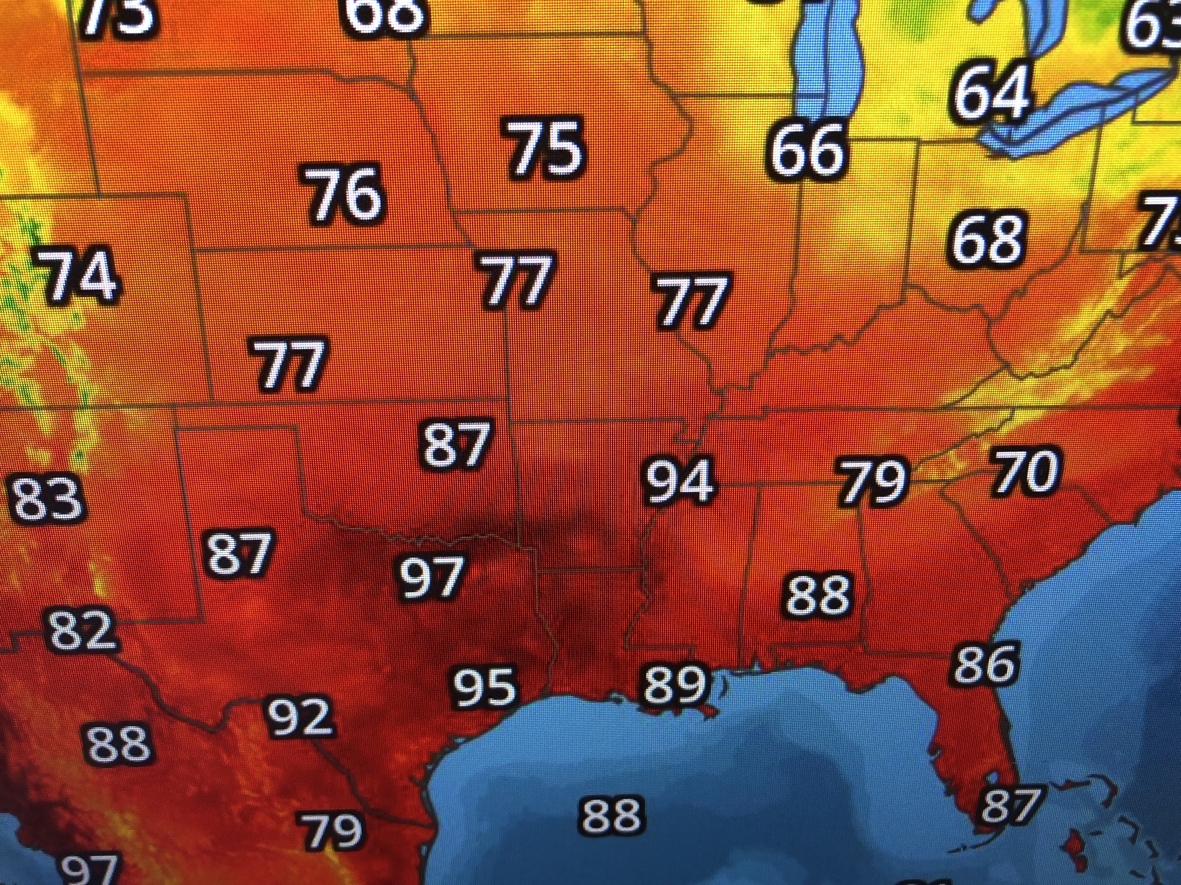
I trust all of us are done with the 90s until next summer? Finally...

Last night was special for me as I was able to share dinner at Keith Young's Streak House in Madisonville. I call it the Ch. 8 "Dream Team" from the '90s of Ron Swoboda, Margaret Dubuisson, the little fella & John Snell. What a fun night of memories. Perhaps it'll bring a smile to you remembering the "good old days"! I won't update again until tomorrow, unless there is a change to Ian's track. Stay tuned!

2 comments:
Hey Bob. So I'm so lost with this storm. I know in the previous post you said this is not our storm but I'm afraid this thing is going to just go north towards us as opposed to NE. I'm just curious how sure you are this isn't going to be our storm? Weather Channel is saying we could get it and we should prepare as well.
I'm in the Tampa Bay area, but grew up watching you. I often go look at what the jet stream is predicted to do because of what you "taught" me as a kid. I still come to you for your insight because I trust you over the local weathermen. They just repeat what the NWS puts out. They don't model, they don't explain. Thanks for what you taught me so I can look stuff up and do my own predictions rather than just wait for NWS updates.
Post a Comment