
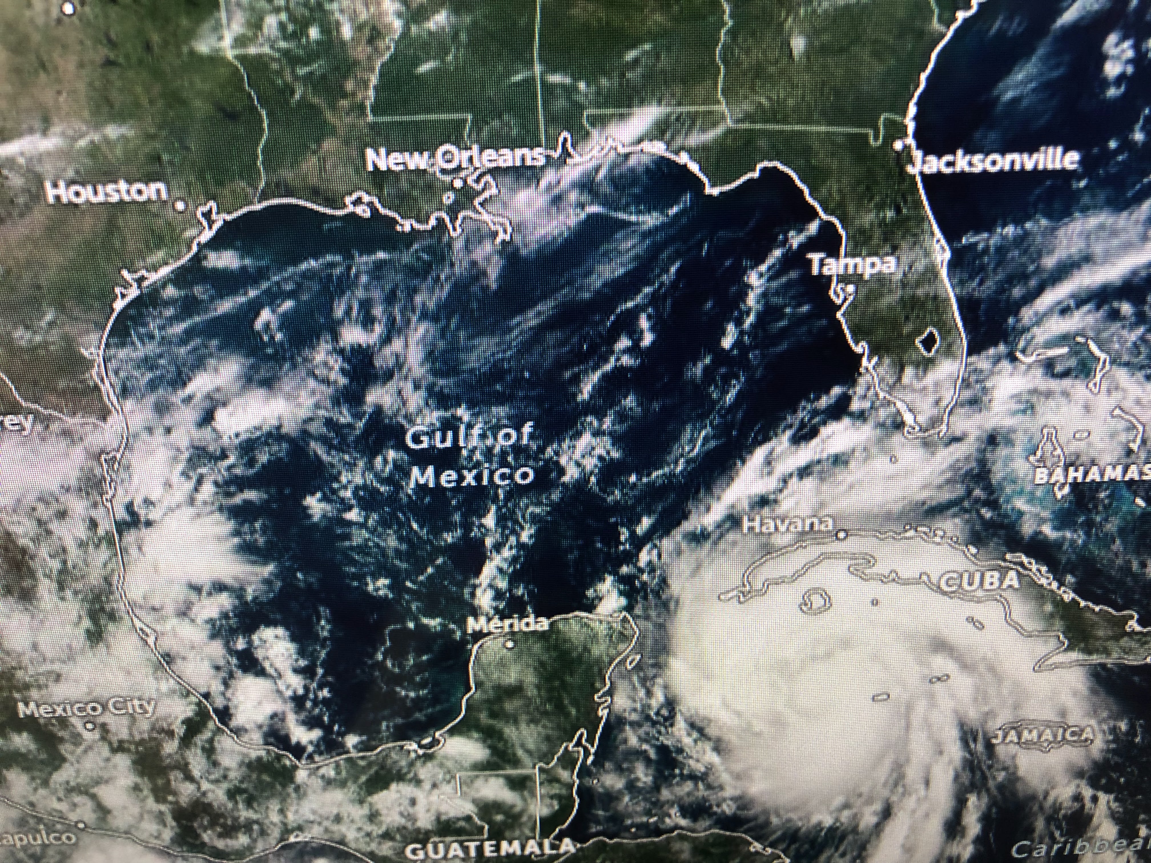


Unlike yesterday, when the T-Storms were disorganized around Ian, storms on the color IR have clustered around the center. It doesn't have the classic donut hole shape yet, but he will. Here's the latest NHC track.
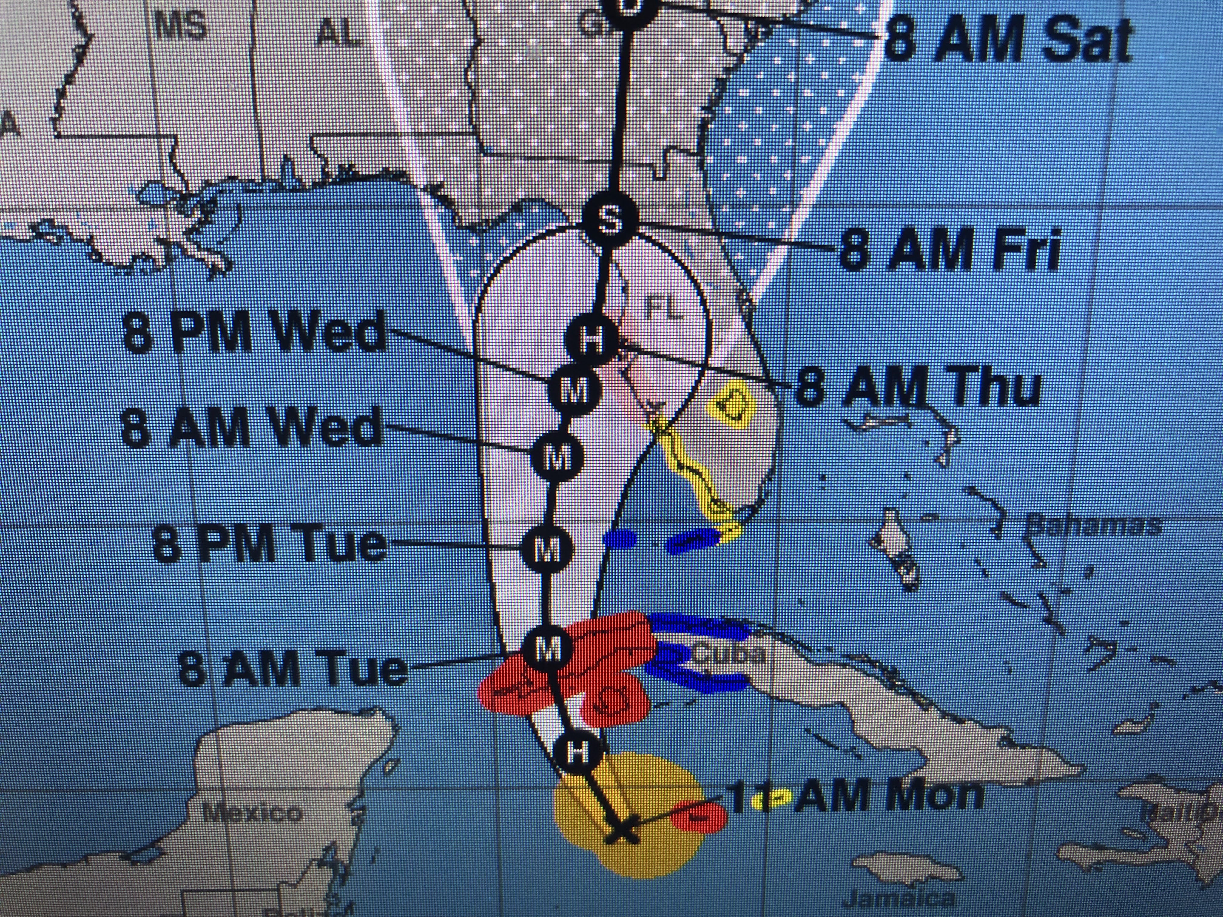


That would bring the eyewall just offshore with the strongest side of the storm impacting all of Florida's west coast. Storm surge could reach 5-10 feet which would bring water over the seawall in Tampa Bay. Best case scenarios for Tampa/St. Pete would be for the center to drift farther to the west, or to turn quicker and go inland south. Of course that would bring other areas south into harm's way. I mentioned Cedar Key as a possible landfall on a previous post and that still looks like a "good" bet. The main computer models have come into agreement this morning.


The top is the Euro with the bottom the GFS. The time is Wednesday AM. They appear to be exactly the same. This will be Florida's storm as the upper East coast trough will bring down a cold front to protect us from Ian.


look at the dew points in the 40s & 50s coming our way. That'll bring 50s to the North Shore at night and 60s south. Dare I say it...SWEATER WEATHER!


The cooler & drier air will be drawn down into Ian weakening the storm once by Tampa. Unfortunately, it won't get there soon enough for them. Get the Prayer lines ready. Many will need them. Next update after 4 PM. Stay tuned

1 comment:
Bob, I value your updates more than you know... I of course watch the NHC updates but I always check your updates and thoughts, and I miss you being my local face on the news - thank you for still being an asset to our community. I have friends in the Holiday, FL/Tampa area so my prayers are with them and they are reading your updates as well.
Post a Comment