It's been a beautiful Saturday with warm temps. but much lower humidity. Sunday and Monday should be as nice, but some clouds and showers will briefly move across southeast Louisiana after dark.
I'm expecting most of that precipitation to decrease and end before it gets to us as the air behind yesterday's cold front is much drier with dew points in the 50s.
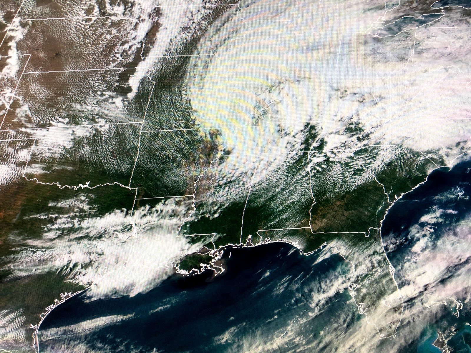
While we were in the upper 80s, Houston was much cooler with clouds and showers triggered by an upper disturbance rotating around the main low over the Ohio Valley.
You can see another swirl in the clouds over the northern palins that will rotate around the Ohio system driving down another shot of cooler and drier air for us. That will make Sunday & Monday delightful before another front increases clouds and humidity ahead of our next front on Wednesday. We could see some strong storms then, but we have plenty of time to watch that.
Finally, that tropical system in the eastern Pacific has become a depression with a well defined circulation. It will probably become their first named storm tonight or tomorrow. Not our worry. Hate to waste all this great weather, but stay home, stay healthy and stay tuned!


No comments:
Post a Comment