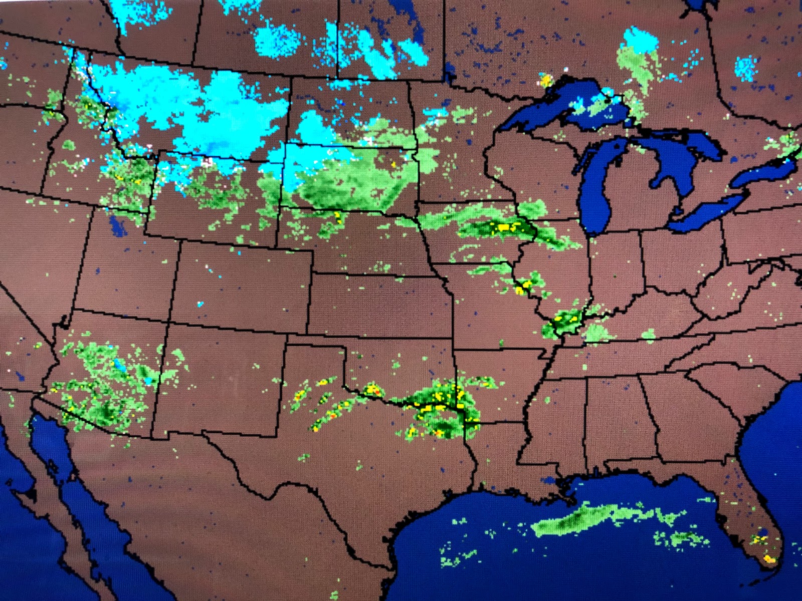
The latest from SPC (Storm Prediction Center) continues to forecast a severe weather outbreak for Easter Sunday for a large part of the South, including us. Their "bullseye" has the greatest risk north of us focused on central LA/MS/AL.
The "hatched in area" indicates higher confidence that severe weather is likely there. In addition, the WPC (Weather Prediction Center) has a moderate risk (very likely) for flash flooding farther to our north. My thinking is the main energy will quickly race across areas well north of Lake P. during Easter Sunday morning with a squall line forming along/ahead of a cold front that plows through us between 3-6 PM. It should be a fast mover so that the heavy rain threat is small here. Make sure you have your FOX 8 Weather App on your phone ready to alert you if warnings are needed. RIGHT NOW, it appears the worse should stay well to our north tomorrow.
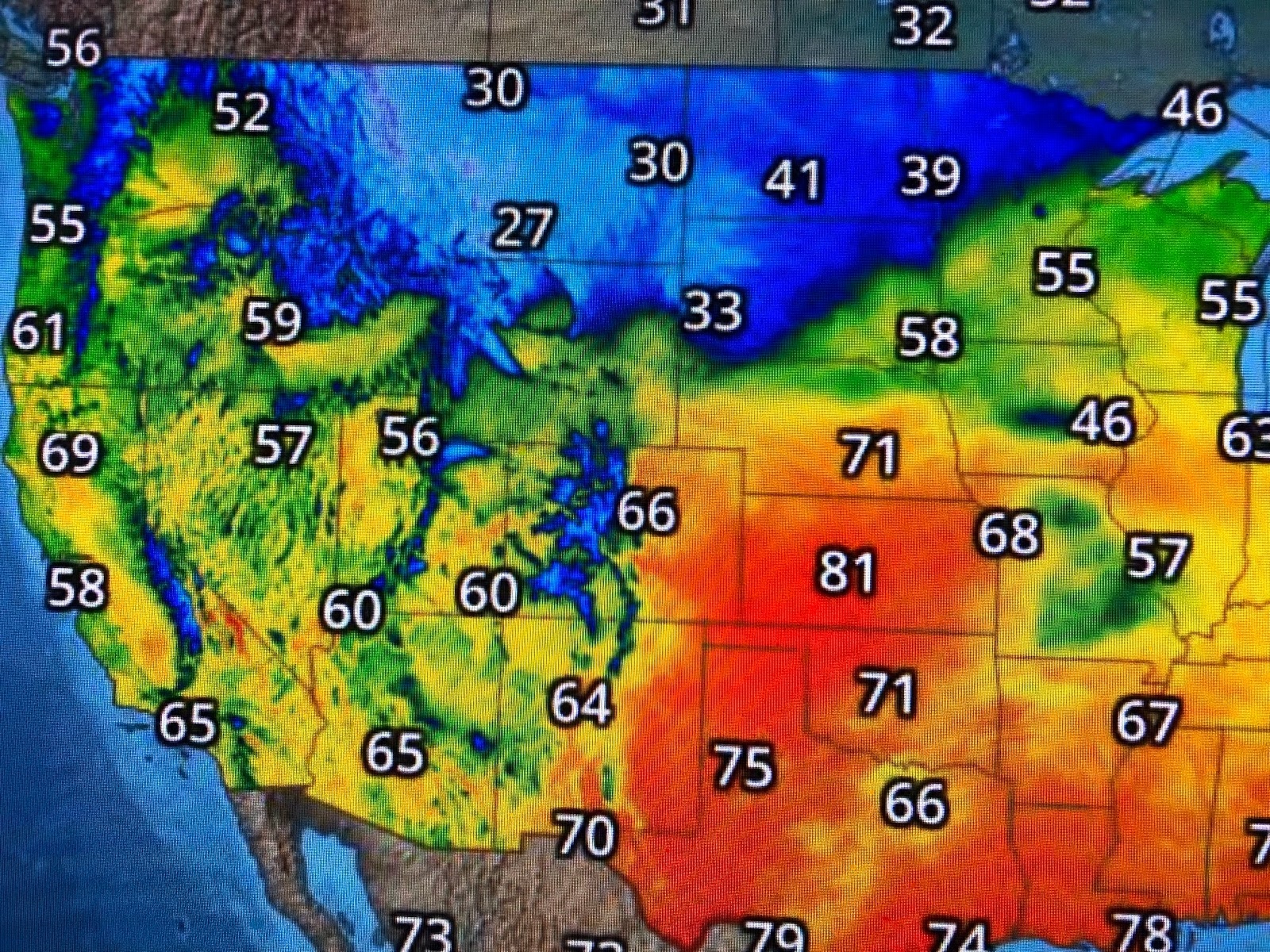
Easter Saturday has been mainly sunny & nice as dew points are still in the 50s with temps near 80. clouds along the coast will overspread us tonight as a warm front brings back the Gulf muggies. You'll notice a different feel to the air tomorrow. We'll be in the warm air sector as highs easily will surge into the 80s.
The California low is finally moving to the east as very cold air plunges down from Canada. Some T-Storms are already firing off across Oklahoma & Texas and that is a preview what will happen later tonight and tomorrow. Behind the front late Sunday into Monday will be slightly cooler and drier air. A secondary surge of cooler air arrives late Tuesday as next week will be closer to or slightly below normal on temperatures. I fertilized my lawn today (trying to stay productive!) in hopes we'll see some much needed rainfall on Sunday. Thinking of washing the car too since that usually means it'll rain the next day! Stay tuned!


1 comment:
Maybe it will wash all the germs out!
Post a Comment