According to the latest thinking from NHC, they have increased their probability for development of the tropical system near the north side of Cuba to 80%, meaning they believe we'll have a named Tropical Storm either late Friday or early on Saturday just off the SE coast of Florida. A hurricane hunter aircraft is scheduled to fly out Friday.
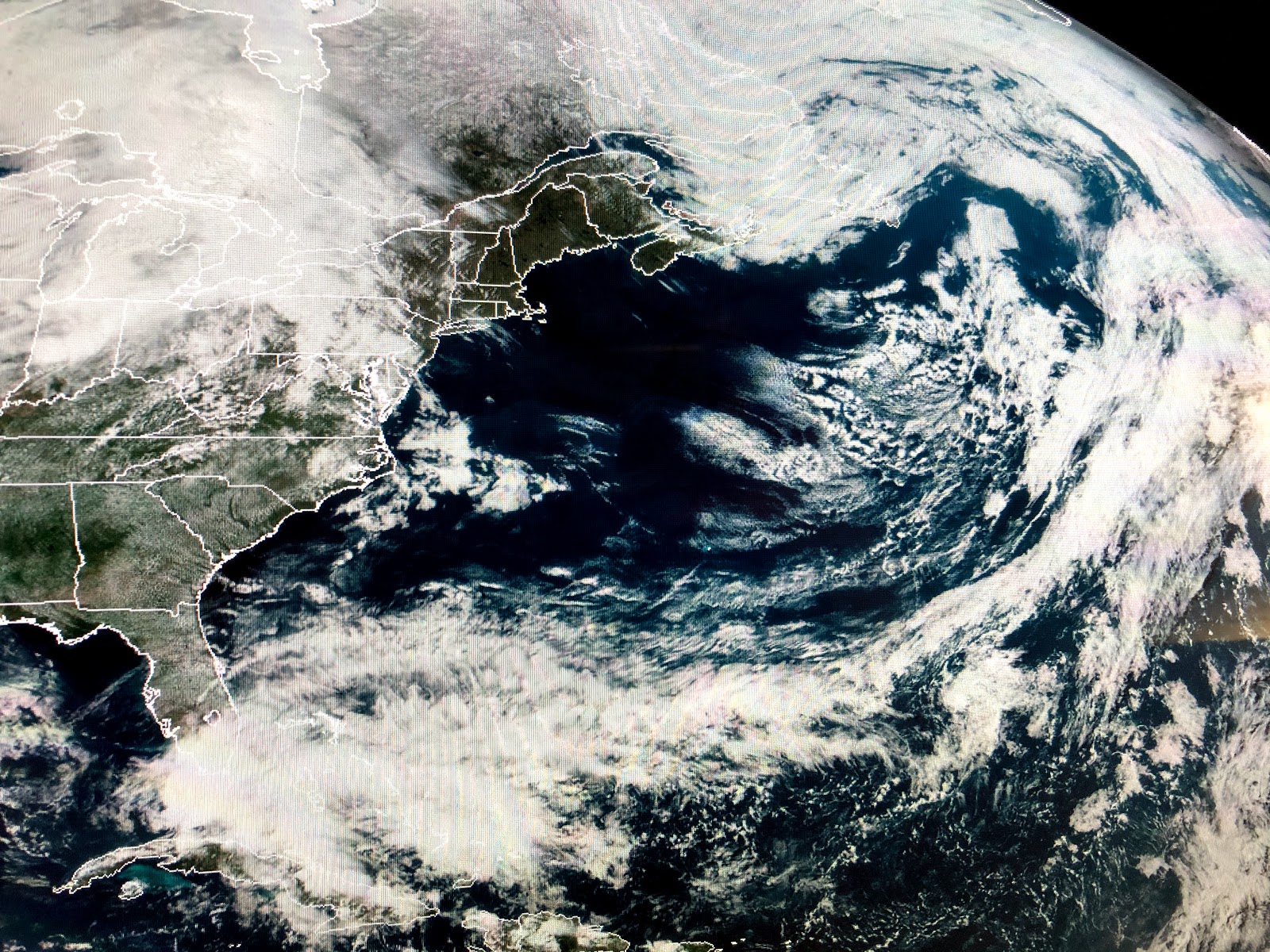
I have mentioned in previous posts how early preseason storms often form along an old frontal boundary, and you can see that to be the case once again. Whatever forms will have zero influence on us. In fact, there appears to be a mid level swirl over the NW Gulf that could bring us some heavy rains overnight.
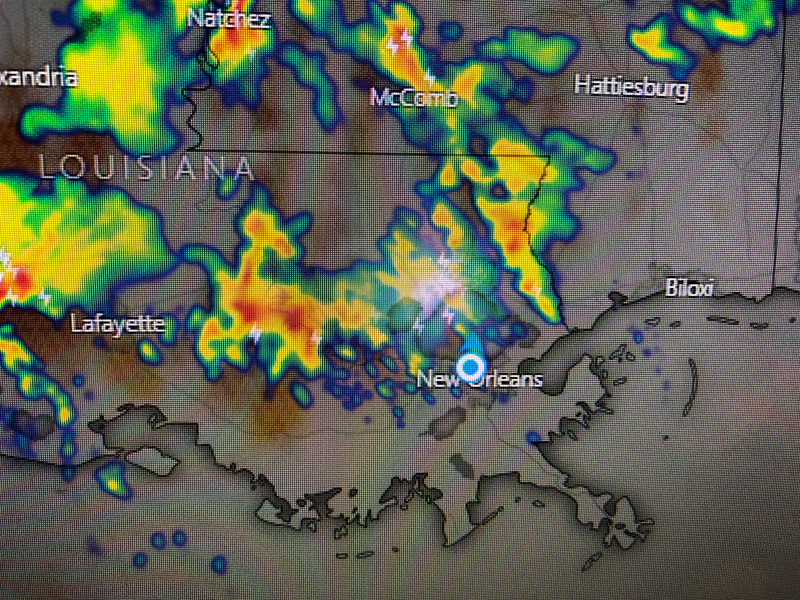
This afternoon we have seen the heaviest showers with some thunder mainly across the North Shore. Some drier air will try to back in from the east tomorrow IF the Florida system begins to develop. However, we're likely to see a daily shower threat here through the weekend with the potential for 1-2" rain totals.
Yesterday I thought we would not see anymore significant cold fronts, but today's model run has one coming through on Tuesday of next week. Since we are well into May, don't look for colder air, but the drier air will mean we'll get comfy cool at night.
Finally, yesterday I showed you the mask and shield I wear when I go to the supermarket or anywhere when I'm in close contact with people. Most of you were supportive and understood my reasoning. This morning's Advocate had an article backing my thinking. I hope those of you who feel it is your right not to wear one, might reconsider knowing you could be a carrier and your mask would protect others, maybe even your family members from Covid-19. I personally prefer the shield since it's not as hot and you can see the person wearing one. Think about it. It's a request for my safety, not a demand. Thanks. Stay tuned!


No comments:
Post a Comment