The Covid-19 virus has upset the lives of all of us so it's not surprising this hurricane season could have some unusual issues.
What a conundrum...do I evacuate to some shelter and risk catching Covid-19? Or do I stay in my one story house in a flood zone and risk drowning? Hopefully our folks in Emergency Management have discussed these options and even come up with a third, safer option? Whatever, we are nearing that time of the year when we must have a plan.
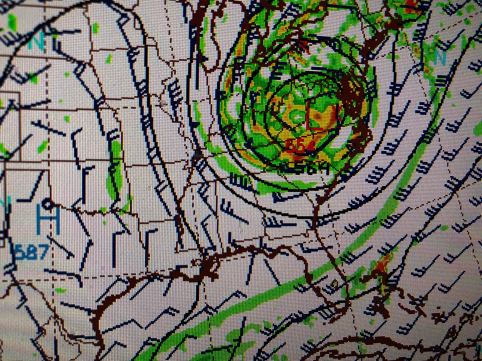
NHC cancelled the Hurricane plane for this morning as nothing has gotten better organized. In fact there appear to be several mid level swirls without anything down at the surface. Models still predict development so Arthur is likely to form tomorrow or on Sunday and move up the east coast.
As Arthur brushes the Carolina coast, models say a deep upper low will drop down bringing another cold front for us late Monday making Tuesday & Wednesday of next week delightful. But we have to get through this weekend's possible storminess.
We are in a soupy airmass that will allow for more T-Storms to develop and we must hope no more training effect develops like what happened last night.
10-15+" fell between Hammond & Covington with 8-12" west of Kenner. MSY reported 5.33" while my house off Bonnabel had 3.83". Obviously we don't need anymore rain so stay alert for the next 2 days. Stay tuned!


No comments:
Post a Comment