Several days ago I showed a model graphic (Spaghetti plots) showing the earliest projected tracks of what has become Trop. Storm Arthur. Many of the American models predicted a centerline track into North Carolina with a possible curve back to the NW. The Euro model all along indicated Arthur would brush the NC coast and then turn out to sea. Reality winner? Hands down the Euro model. Will that trend continue this season? So far the American models are less accurate? We'll see.
Arthur's structure looks more like a Winter time storm with no storms west and south of the center. It will continue to move away from the east coast.
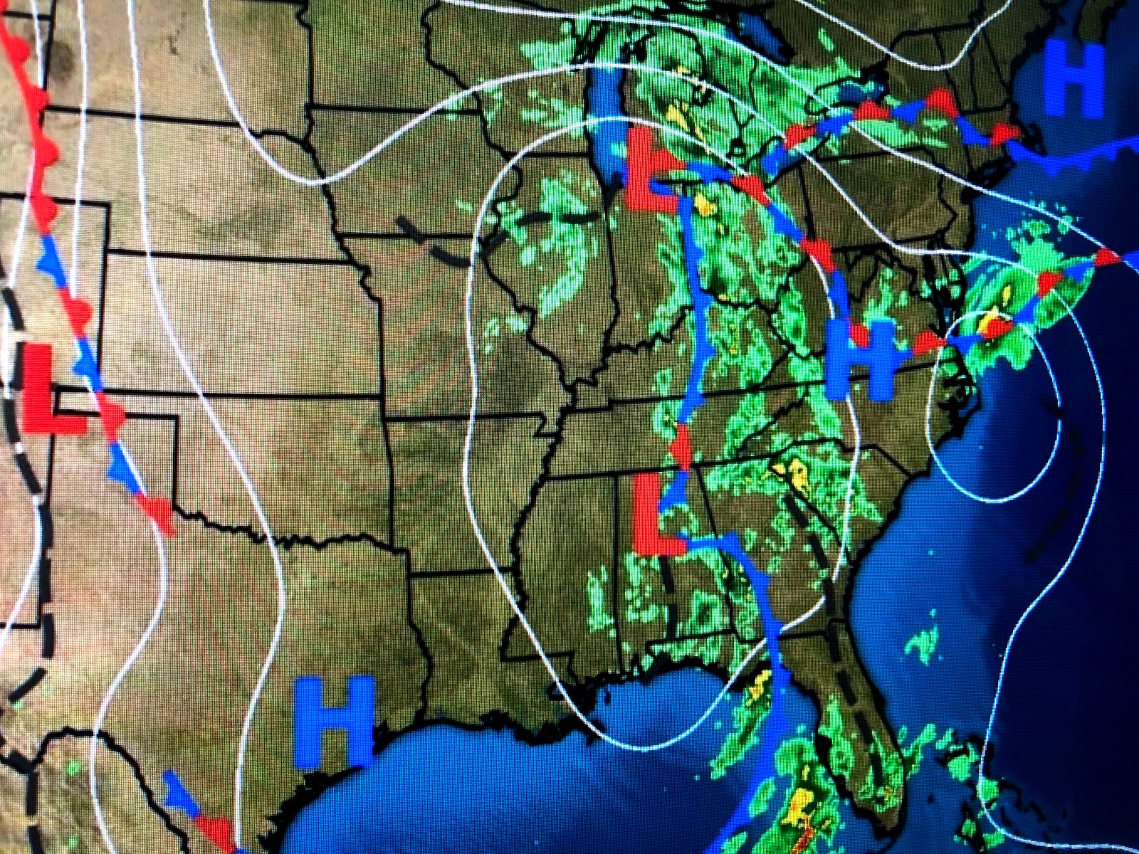
Some slightly drier air is filtering in from the WNW and the next several days here should be terrific for mid May. We are just outside some clouds rotating around a weak surface low in Alabama with a stronger upper low dipping to the SE in northern Illinois. Under those clouds and showers temps are in the 50s & 60s
The bottom graphic is the forecasted position of the upper low on Wednesday. I think we'll be outside the cloud shield, but underneath those clouds highs will stay in the 60s & 70s versus the 80s here. With the lower humidity, the 80s won't feel bad and our nights will be quite comfortable. Get out and enjoy before Summer returns by late week. Stay tuned!


No comments:
Post a Comment