With a little over 2 weeks before the official start of the 2020 Hurricane Season, NHC has hatched in an area east of Florida where computer models indicate there will be possible development this weekend.
As satellite views show, there is nothing there yet. This will be a good confidence builder IF models are correct and something does form. If not, then when we do have a storm heading our way, many will wonder about the model's accuracy. It's not that unusual to have named storms form before the June 1st start. It gives us something to watch.
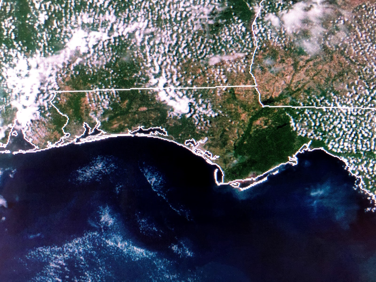
Some daytime heating T-Storms have developed over parts of Louisiana, but the brighter, more concentrated clouds are well to our north.
A warm front lies to our north and we are back into the humid air with dew points well into the 60s. 80s & 90s are showing up except where there is cloud cover and showers. We are getting more summer-like each day. Thursday through Saturday will be almost hot & humid with a couple of daytime heating storms. IF that system east of Florida does develop, we might sneak in some drier air here late this weekend. I think we are done with any real nice cool air until October.
Finally, you all know how much I like to point out features on satellite pics. The top view show the "shadow effect" of Lake Pontchartrain across the North Shore today. That effect is even more pronounced along the beaches from Gulf Shores to east of Panama City. That more stable marine layer makes for mostly sunny skies, perfect for enjoying the sand and water. Stay tuned!


No comments:
Post a Comment