As we head towards mid May, longer days and the higher sun angle usually results in an upward trend in temperatures followed by higher humidity. June through late September typically has brutal daily heat interrupted only by daytime T-Storms or tropical systems. We have been lucky so far this month as several significant cold fronts have swept away the humidity and kept temperatures near perfect. But that is about to change.
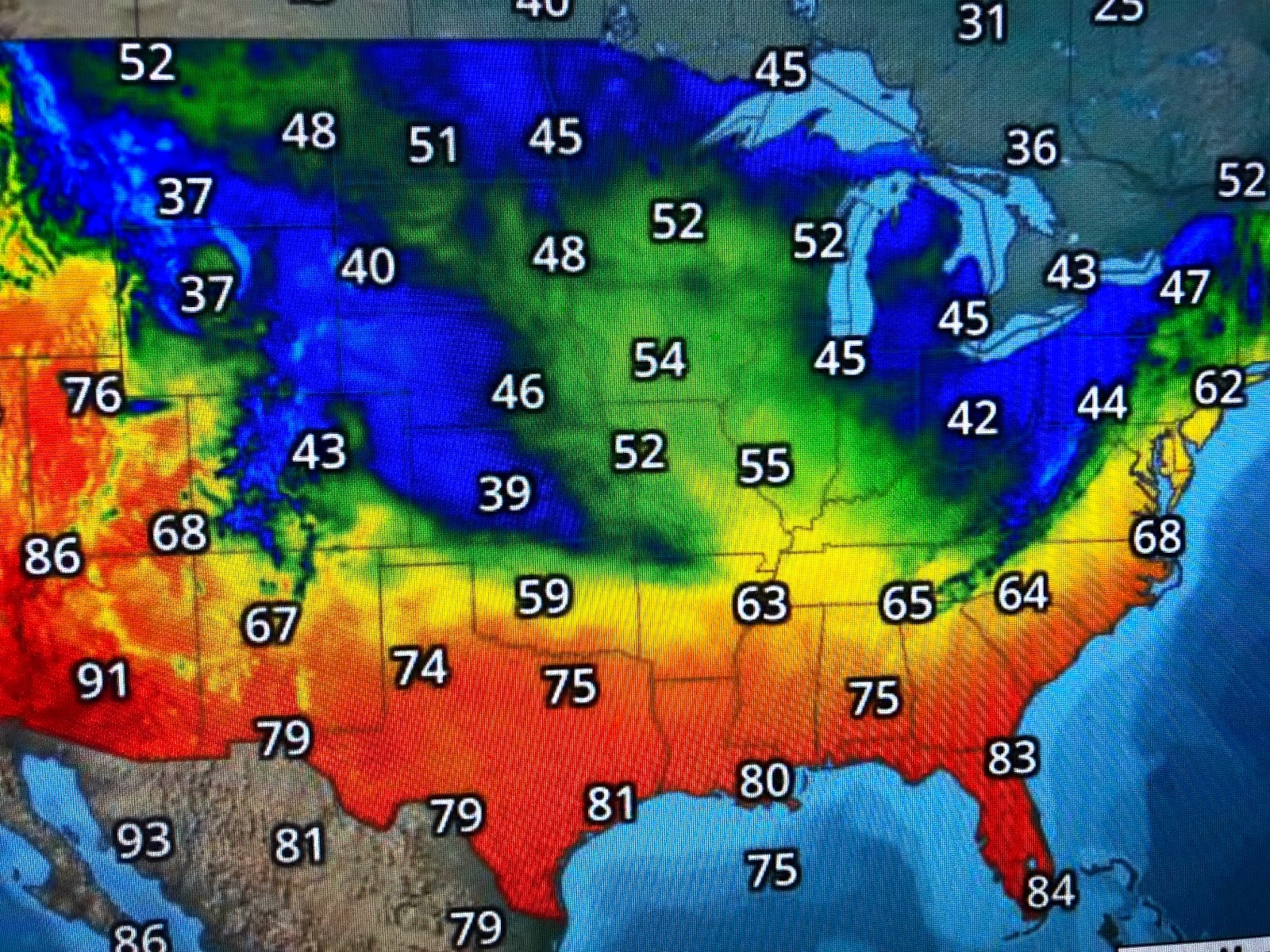
We remain on the dry side of surface high pressure with dew points in the 40s & 50s with temps around 80. That's great feeling air and we have one more night and day to enjoy before the muggies are back on Wednesday. High pressure will slide to our east signaling a return flow off the Gulf.
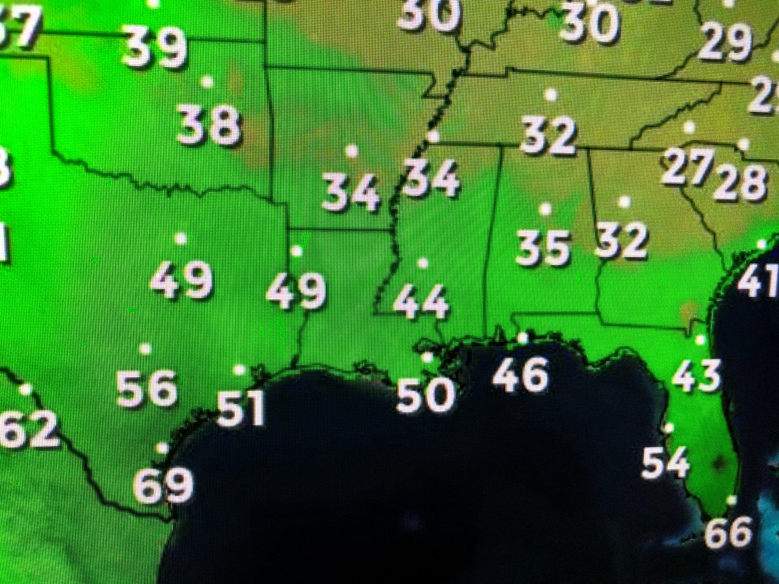
SPC is highlighting a risk for severe storms across the plains on Wednesday as warm air from the south will battle lingering cold air to the north. Note how chilly it is in Colorado & Kansas underneath a cloud cover producing cold rain. We'll see a chance for some spotty daytime heating type showers develop on Wednesday here continuing into the weekend. It appears this will be our last real cold front until next October.


Finally, Mother Nature is struggling to recover from this year's Spillway opening. The top picture is from May 6th showing the muddy waters in Lake P. eastward to Bay St. Louis. The bottom two views are from this afternoon still showing a muddy Lake, but notice how cleaner waters have spread westward from Mississippi Sound to west of Waveland. The Spillway has been closed for over 10 days, but the River's high water (15.3" at 2 PM) levels are still flowing thru the cracks between the wooden pegs in the Spillway. Only until the level gets below 14' will we see any real changes to the water clarity of Lake Pontchartrain. That should happen by the end of this month. Stay tuned!


No comments:
Post a Comment