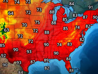
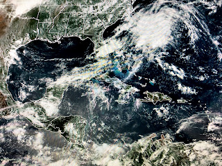
The upper low, that stalled over the SE for days, is finally moving and weakening. The shield of clouds and showers get less each day, but you can still see all the upper dry air that has rotated around it down into the Gulf. The result is nearly no showers/T-Storms across all of the Gulf Coast.
The current weather map has no fronts around us so the only trigger for any rain should be daytime heating and the land/sea breeze fronts.
We remain seasonally hot, but the low level moisture (dew points in 60s) is still limited. Over the weekend we should see a gradual rise in humidity and that should allow for some spotty PM storms by Sunday.


No comments:
Post a Comment