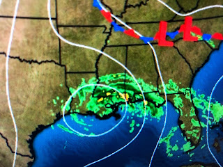
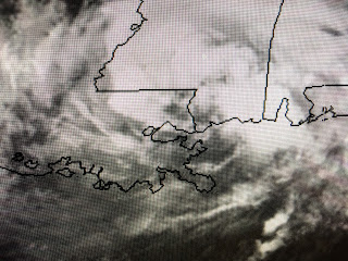
Tropical Storm Cristobal moved inland this afternoon around 5 pm somewhere east of Grand Isle. The ill defined center has now moved north of NOLA with the center in St. Tammany moving to the NNW at 10 mph.
Since the center of rotation moved 30-40 miles farther to the east of the track NHC forecasted for days, the heaviest rain totals, highest storm surges & highest wind gusts occurred along the MS/AL coastlines sparing NOLA of any serious impacts. All in all, the computer models with this storm were outstanding until about 70 miles from our coast where the system waddled slightly to the east and NOLA can be thankful for that.
The really serious rain squalls persist from Mobile Bay across Mississippi and areas north of Baton Rouge. As Cristobal continues to move away, these squalls should follow leaving SE LA/MS mainly dry over night. As wind have decreased, water levels have fallen too.
You can see the radar has most of the rainfall now north of Lake P. with nothing showing up to the south. Since the NHC track has this system moving into Arkansas by midday, We should see some sunshine return on Monday. Unfortunately that could trigger a line of storms that tail back in to what will be TD Cristobal by then. As David has repeatedly mentioned this evening, we still have a heavy rain threat tomorrow so let's stay alert for another day. But clearly, the worst is over for us. I will review what I learned from this system in my posts Monday afternoon.


2 comments:
Flooding with a disorganized storm... gonna be in a world of hurt with a Cat 3 or 4 moving on the same course or more to our west.
Thanks' Mr. Bob, always being there for all of us.
Post a Comment