


The eye has become better defined and the bottom (daylight) close up photo shows some inner swirls within the eye. As the sun sets this evening, we should see a dramatic "stadium effect" as shadows are cast across the western side.


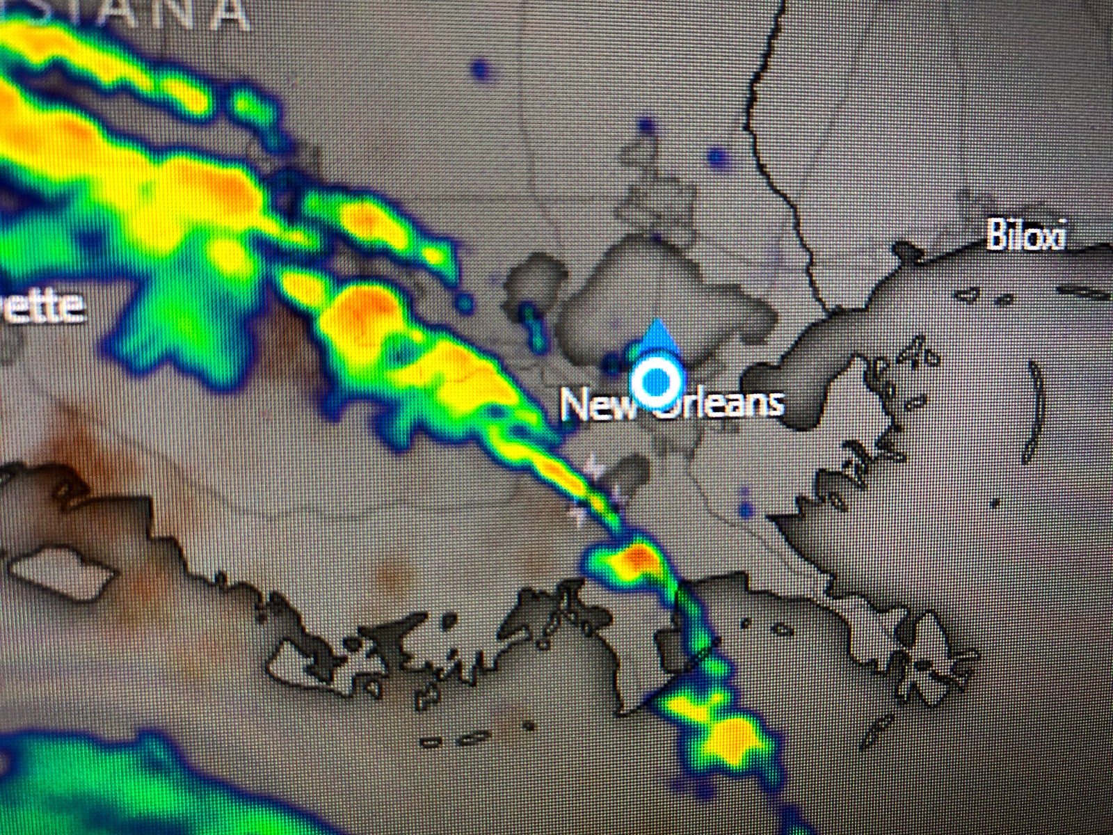
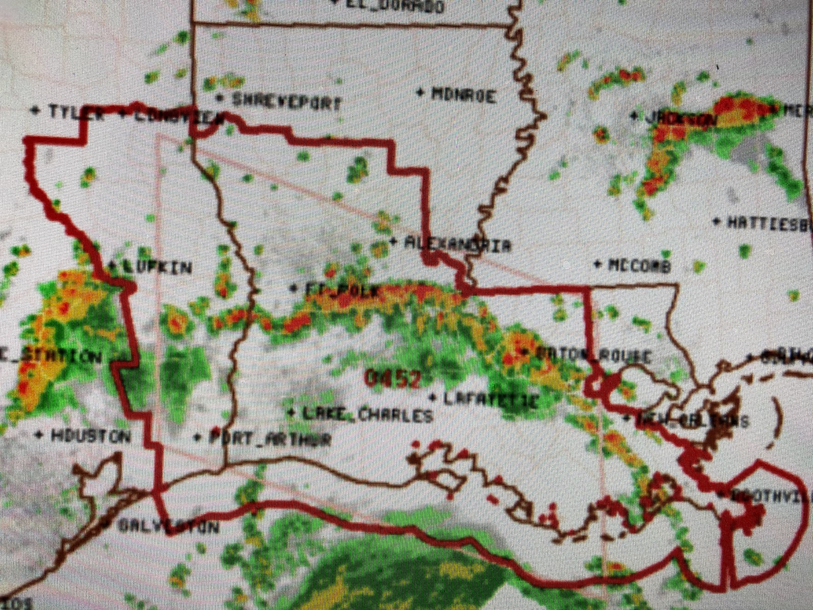
One of the impacts extending far away from the center is a tornado potential under the feeder bands rotating around Laura. SPC has issued a Tornado Watch for all of south Louisiana until 9 pm. There is one band just to our SW that has already spawned several tornado warnings. The other major impact is high water from storm surge despite being far removed from the center. Laura is a very large hurricane with the worst impacts (20-25' surge) aiming at SW Louisiana. Here's the newest update from NHC.


Essentially, they are keeping the track the same but have increased the winds to 145 mph with some strengthening to 150 mph by landfall. Give NHC credit for being spot on with Laura's track. In fact, score one for the American (GFS) model over the Euro which had the track farther to the west. Her forward motion is now 320 degrees at 14 mph as she starts to begin the turn to the north. This has been a well advertised and predicted storm and we just hope everyone in harm's way listened to their Emergency Managers and evacuated inland.


9 comments:
great info,thanks
Thank you for the informative posts. Keeping a lookout for more tornado-laden arms sweeping Northshore this evening but looks like we dodged another hurricane in large part. Prayers for residents of Cameron, Holly Beach & Hackberry where it really does feel like deja vu again I am sure. Its going to be a long night there and I hope everyone has bugged out to higher ground.
Thanks!!!!!
Thanks for the detailed information! I appreciate you!
Thank you
We love ya Bob!!! Thank you for your commitment to the residents of Southeast LA!
Bob you are the modern day Nash Roberts, we all need you back on the air.
Bob had Laura bulleye hit new orleans do you think the lake levees would have held or would the area have been like Orleans Parish (15 feet + water on the streets) when the 17th treet canal wall broke?
+1 i'd also like to know your thoughts on New Orleans impacts had we been hit similar to Lake Charles
Post a Comment