In this morning's Advocate was an informational article about October Hurricanes over south Louisiana. Although I thought the headline was slightly "hype-ish", the article basically showed what I have been saying for a long time. After the first week of October, there has never been a major (Cat. 3+) cross the Louisiana coast.
The article accurately chronicles past storms from the 1850s to present times showing that the hurricane threat can last the whole month as the second graphic above shows. That's Hurricane Juan's famous pretzel loop back in late October 1985. He hit as a Cat. 1 on both passes before crossing lower Plaquemine as a Tropical Storm. That shows even though we can get a late season storm in October, the threat for the "big one" is basically near zero. NHC is highlighting 2 areas for possible development.
There are lots of disorganized clusters of T-Storms with the disturbance over the western Caribbean being the one NHC gives a 70% chance to develop. Yesterday's models brought a TD or TS into the southern Gulf for this weekend, but today's runs are less aggressive with the GFS taking whatever tries to form way down into the Bay of Campeche.
This is now designated Invest 91L and most early model runs take it into the Yucatan. With more fronts coming, we don't need to worry about any threats coming to the northern Gulf.
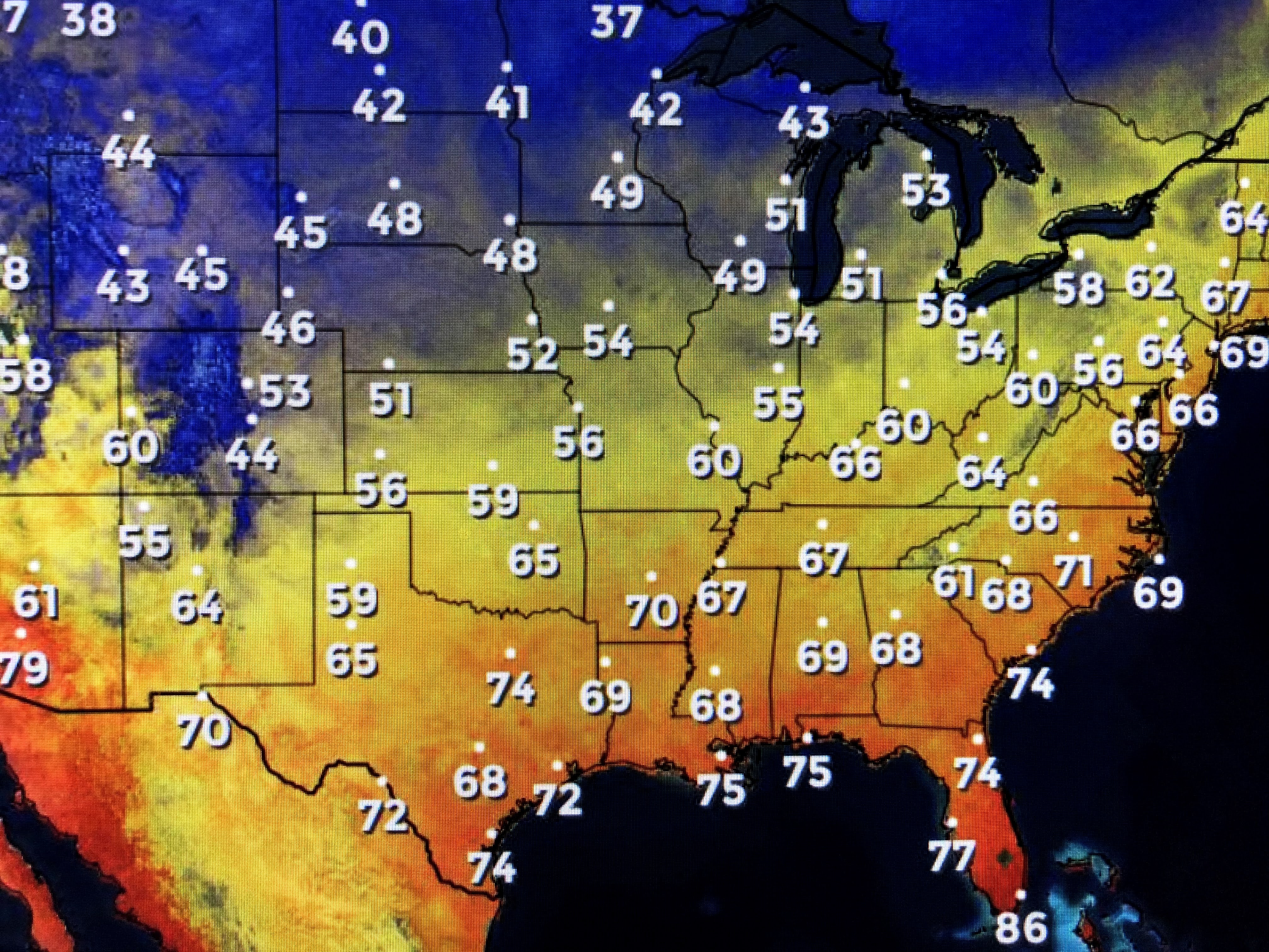
You can see how it's getting chilly farther to the north. The next front moves through early on Friday with another one late on Sunday. They will both keep the drier air (lower dew points) coming into next week with zero chance for rain. Each front is lowering the water temps over the northern Gulf and that is one of the reasons why October storms don't get as strong as those in August & September.
Finally, some smoke from the Colorado fires is moving over Louisiana, but it's nothing like the California fires. Saw more videos of the destroyed homes & wineries (of all the rudeness!) as they await for their rainy season to begin. In the short term, they have no relief coming until the upper pattern (trough over the East with a ridge over the West) changes. Next update late this PM or evening. Stay tuned!


1 comment:
Thanks for your informative blog.
Post a Comment