


The forward speed has also increased to 20 mph and that means Zeta's eye will reach the coast around 4-5 pm. This storm will be a real test of what it means (or doesn't mean) to be to the west (left) of the center line track. So far I am not seeing a wind direction shift that would tell me Zeta will go to our south & east.


This is the 10 AM NHC track. A new one comes out at 4 PM. David just showed a graphic that indicates where the greatest surge is going.


Unfortunately, despite moving over cooler waters and increasing shear, Zeta has gotten stronger. Its forward motion will not allow much weakening before landfall. In addition, a Tornado Watch
has been issued for all of SE LA/MS. We need to have everyone off the roads and inside during the next 2-3 hours. The brunt of the storm will hit between 4-10 PM. My yard is ready and I've decided not to climb the ladder to close my shutters since my gut tells me the duration of strong winds will be 4-5 hours and dying down after 9 PM. I'm still hoping there will be a slight shift of that center line back to the east keeping us on the weaker side. We shall see. next post after 4 PM. Stay tuned!

28 comments:
Pthd ( POST TRAMATIC HURICANE DISORDER) AHHHHH...LIVING IN CHALMETTE IS THE PITS THIS YEAR...AS LUCK WOULD HAVE IT, MY DAUGHTER FROM NORTH OF ATLANTA VISITED. SHE,MY SON IN LAW AND MY 1 YEAE OLD GRAND DAUGHTER LEFT YESTERDAY. CAN YOU BELIEVE THE ATLANTA AREA IS UNDER A TROPICAL STORM WATCH. IT IS HOW FAST THE STORM WILL BE MOVING. THEY STILL ARE SAINTS FANS 👍.
If your shutters stay open, my heart rate slows a little.
Obviously form the lack of accuracy this year I for one am glad the NHC is in charge instead of local meteorologists both active and retired.
We are the only ones in our Mandeville neighborhood to cover our windows. You do what you can to protect your home...May God have mercy on us.
"For those of you worry warts about this feature coming into the Gulf, look at the current Oceanic Heat Content/Energy Potential. The blue indicates cooler temps with the red the warmer temps. Nuff said." - Bob Breck 10/19/2020
"NHC is still following Epsilon, expected to become a hurricane as it turns east of Bermuda. The other area over the western Caribbean now has a ZERO chance to develop due to strong upper westerly wind shear. " 10/20
"Our tropical season is over as models are bringing down a "real deal" cold front before Halloween that will have us going for the sweaters and coats." 10/21 Best one!
"NHC still highlights an area over the western Caribbean for possible development. Satellite views show lots of disorganized T-Storms and if something did form, it's expected to head across Cuba and stay east of Florida. It won't be a problem for the Gulf. Stay tuned!" 10/22
Stay Tuned!
"Should we feel nervous? I'm not even though several model tracks head towards the northern Gulf coast. Look at the middle graphic that was taken 3 week ago with Meteorologist Zack Fradella showing the Ocean Heat Content or Energy Potential of the Gulf and Caribbean. Notice how the bottom pic has most of the Gulf much cooler. I suspect 95L being over the warmest waters on the Planet will become our next named storm (Zeta). However, the farther north it goes, the cooler the waters and the stronger the wind shear. In addition, several cold fronts are coming that will protect us from any major issues." 10/23
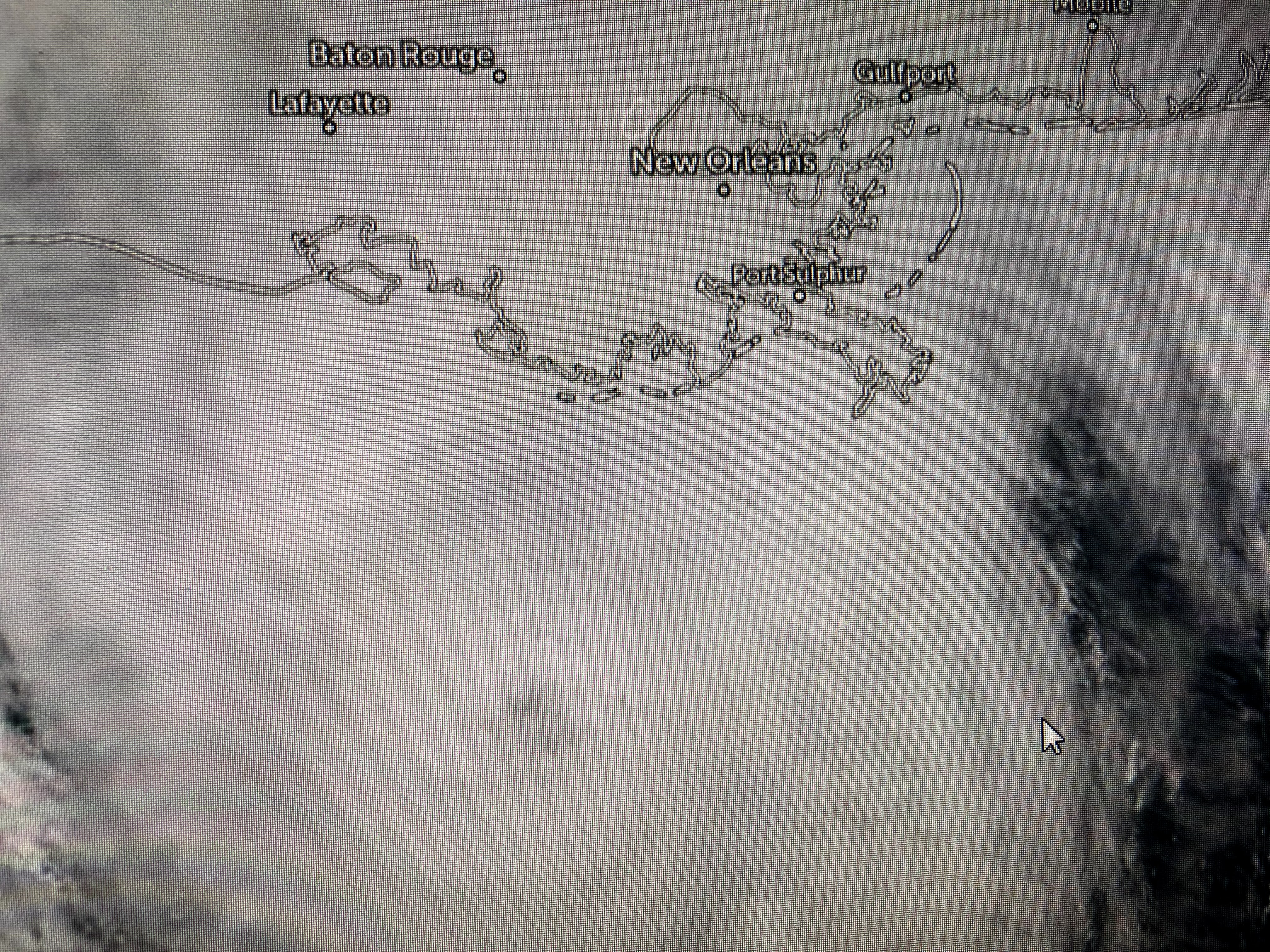
Looks like winds in Galliano and Houma are out of the east.
Hey "anonymous" why are you even here? Go follow the Chicken Little channels that talked about 9 feet of water in downtown Lake Charles etc. We will continue to follow Bob and if he is not putting up his shutters..... Mostly a (minor)wind event, half day off work...a little rain.....we good.
Lol!! Shut up and take a nap Anon/ Cindy/ DVD Man.
David Bernard was just talking about Zeta being the strongest storm in recent memory. People seem to forget about Gustav in 2008. Grand Isle had winds of 115 mph and the eye hit Thibodaux head on. I’ve not seen such wind devastation before or since.
People are funny in that constructive criticism is seen as attacking their mentor. The above posted will help Bob in the future to maybe put an asterisk by some of his statements possibly adding "with a few serious exceptions " etc. Clearly the strength of this storm has been underestimated by the majority of meteorologist and Bob has been no exception. Does this mean he is not a good meteorologist, no just hasn't had the best year. Like a good race horse, every once in a while they throw in a dud. He will bounce back and will continue to follow his blog. Winds by the way are 110 mph.
You got this one terribly wrong from the beginning, Bob. Awful.
Whoever you are "anonymous" no reason to follow someone and make nasty comments. Just go and follow someone you trust. I like local meteorologist and Bob has helped when the national forecasters say things and have never been through a hurricane. Thanks Bob Breck for making sense of all of it. I would say this after "Nash" you are the best!
If you haven't figured out by now, anyone who doesn't put there name clicks anonymous so there are many comments made by ""anonymous" that are made by many different individuals.
Thanks Bob. In my house you are known as The Oracle. Looks like you are right about the cold front interacting to increase storm. I think you are a genius.
If we flood, it's Bob's fault. Telling people 8 days ago we had nothing to worry about, completely irresponsible! You should be off the air!... well, you should be banned from speaking. We all know you're making millions from this blog by duping people into believing your years of experience.
Leave Bob alone. He gives his opinion, nothing more, nothing less.
This is for the critics -- if the storm had traveled at a normal speed the front would have easily changed everything, i.e. have made it here well before landfall. How often does a storm this quickly?
You've got a cogent point there, dude. Nobody's perfect, not even Bob, not in 2020 anyhow...it's having its way with us, regardless of computer models....computer models aren't real life.
Also, as of 3 pm, the wind direction in Kenner is out of the east, not out of the southeast. Maybe Bob was on to something with note about the wind direction.
HundredOaks... so what is a normal speed for a hurricane to travel? So are you saying Bob's forecast which took into the account of the speed of the hurricane was also way off its mark also? LOL grasping a straws are we or making excuses for numerous bad calls by Bob this year. I think these anonymous posts are pointing out that Bob loves to dish out criticism to other but can't seem to take it himself. I applaud that. If you review his record on Tropical storms and actually dig into his analysis of the storms he was a poor record.
According to Bob he won't have a chance to this time.
Sure looks like it jumped to the east with NOAA station at Grand Isle data
https://tidesandcurrents.noaa.gov/stationhome.html?id=8761724#sensors
I love it. For those who freak out because of hurricanes, you need to move somewhere else. Hurricane season is the most exciting time of the year.
Hurricane lover!
ALL OF YOU PEOPLE ON HERE ARE MISSING THE POINT!!
THE POINT IS > GOD IS SHOWING US THAT HE IS IN CONTROL!!!
Post a Comment