

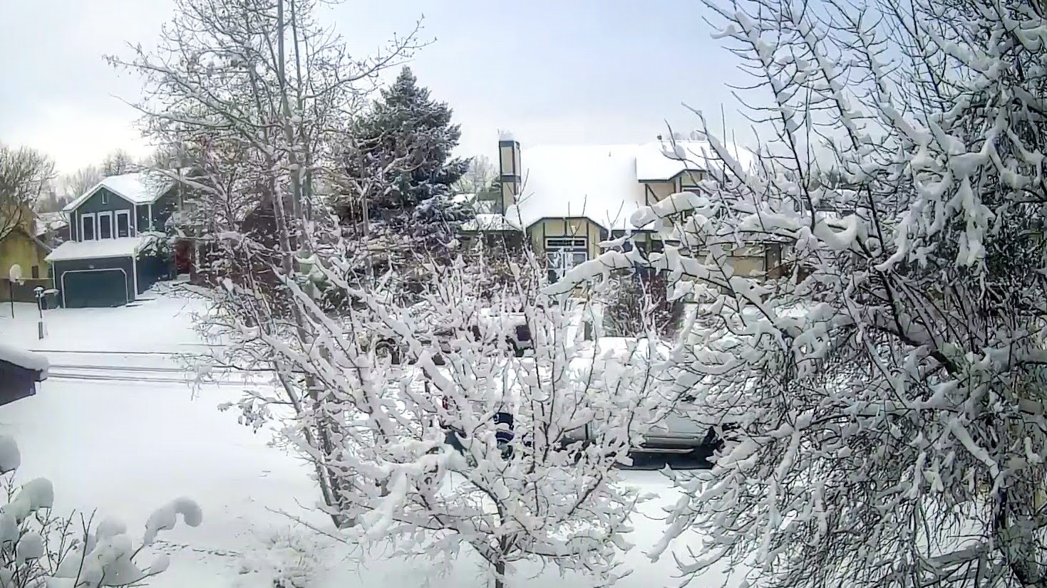


Fresh fallen snow always looks so pretty, but I bet many of you would never guess that February is not Denver's snowiest month. In fact, it's only ranks as the 4th snowiest with March & surprisingly April being the snowiest.


I tried to find the snowstorm on this afternoon's satellite view, but it already was gone. The white you see around Denver is snow on the ground. A weak upper disturbance coupled with upslope flow triggered the snow burst. As we sit around 80, I'm happy they have winter while we already have started Spring.


A frontal boundary has stalled to our north and that should keep us in the warm air with most of the rain focused along the front. We'll have to wait until late Monday for our next front to arrive keeping us Spring-like this weekend.


Note the dew points (green colored map) are 60+ and that should mean more foggy mornings. Before I close, let me show you what's still up in Canada.

Yep, that's a minus 47 showing up in mid afternoon! What I'll be watching for is any dip in the upper winds that would bring the East Coast trough (Polar Vortex) back driving the frigid air south again. Right now, the first week in march will see a brief East Coast trough set up, but it should be nothing like what we had earlier this month. Tomorrow I will show you my yard with before and after freeze pictures. Just couldn't do what Dan Gill advises. Had to clean up my dead looking yard. Stay tuned!

No comments:
Post a Comment