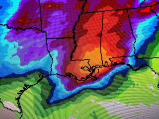
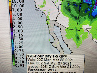
It appears we will not have a severe weather outbreak this week as the upper dynamics are not as strong as last week's disturbance. However, models indicate a cold front will approach us Tuesday and stall somewhere near us. That might allow some training of storms over the same track that could produce these high rain totals.
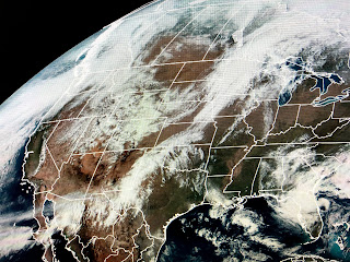
There is a broad upper trough covering the western states and that is expected to remain there for most of this week. The result should stall the front currently over the Plains somewhere across the Gulf Coast.
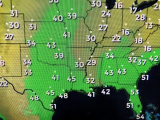
In the short term, Monday looks fine as the surface ridge centered over Tennessee shifts to our east. Dew points remain fairly low so the moisture return won't ramp up until Tuesday. The mid part of this week looks wet before we dry out by Friday into next weekend.
One thing you'll notice on Monday will be increasing winds by the afternoon. If we see enough sunshine, highs will easily reach the mid to upper 70s.


No comments:
Post a Comment