


The bigger L on the satellite view is an UPPER low while the smaller L is the surface low. NHC suggests this system will be named a "sub-tropical Depression/Storm" as it will be cold core in the beginning. Models move it SW for the next 2 days before turning it back to the NE before reaching Bermuda. But what is that over the southern Gulf?
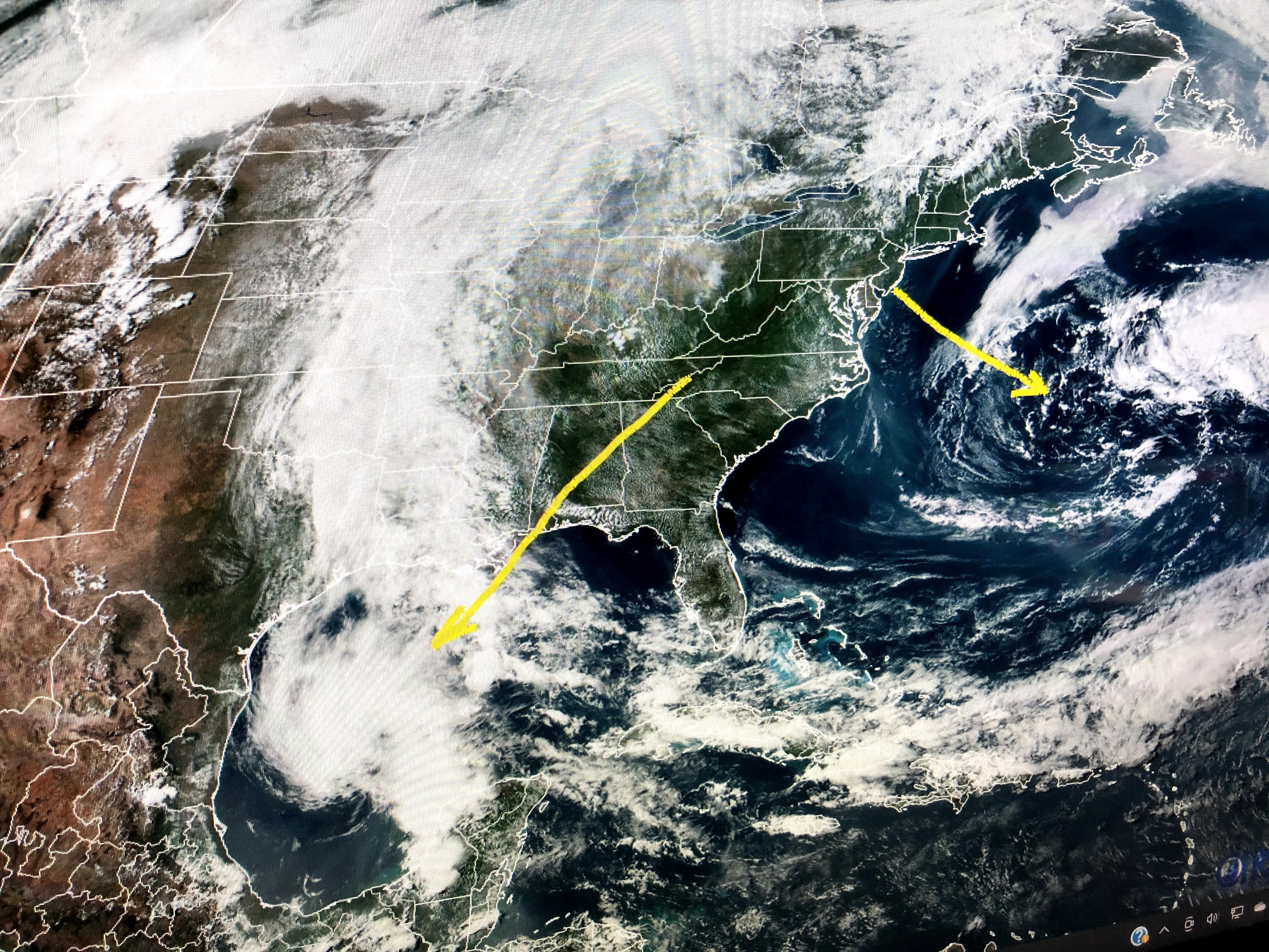


Compared to the system in the Atlantic, the cloud cluster over the southern Gulf is more impressive. However, on closer inspection, it too is more a reflection of a mid to upper level low. There are many lightning strokes down over the Gulf , but water temperatures are barely 80 degrees. It is creating Gale force winds over south Louisiana along with way higher tides. This upper low is expected to drift towards the upper Texas and western Louisiana coasts tomorrow bringing them more heavy rainfall. The reason for such a persistent pattern of wet weather can be seen in the upper winds that have two troughs off each coast with high pressure in between (Omega block).


The top graphic is this morning's upper winds with the high centered over West Virginia (arrow). The middle graphics is valid for Monday morning with the center of the high shifting over us (arrow). The bottom is valid next Wednesday with the upper high gone and a weak trough approaching us. What does it all mean? As the upper high shifts over us for the weekend, we dry out and heat up.


But we have to get through Friday first. I'm hoping all the weather in the Gulf is forced westward away from us, even though they don't need more rain either.


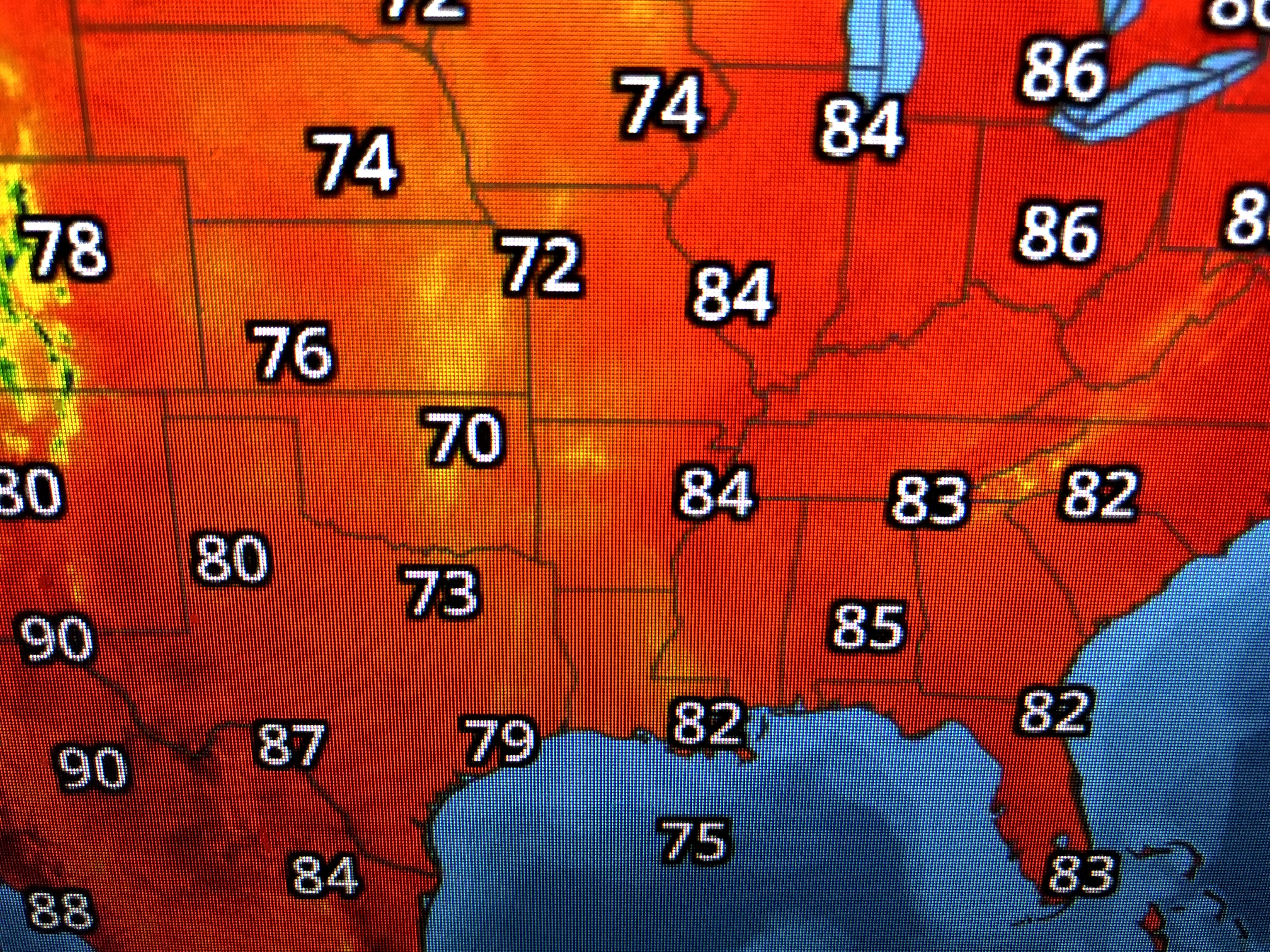
In fact, it's quite a moisture train from the Gulf up into Southern Canada. Look at the high dew points up into Minnesota.


Over the weekend, the surface high in the east will build over us making for much less wind.


The strong east winds have piled water into Lake Pontchartrain just as if we were having a Tropical system affect us. These winds have created very high waves over the Gulf as it is rocking & socking anyone who tries to go fishing. things will begin to get better tomorrow and be really nice by Sunday and Monday. Until then, expect more high water levels anywhere along the coasts. If the Gulf system springs to life, I may post later tonight. Stay tuned!

1 comment:
Thank you Bob. I'm in Slidell, LA near Bayou Liberty and the water is up pretty good.
Post a Comment