


The top graphic is valid for NEXT Saturday morning while the bottom is the current Gulf water Temps. Sure they are near 80, which is considered the bottom number to support tropical development. However, the warmth is confined to the upper levels and there is no deep ocean heat content. Could the GFS be correct while all the other main models show nothing? Maybe, but it's not likely and we have lots of time to see if other models join in the "suggestion".


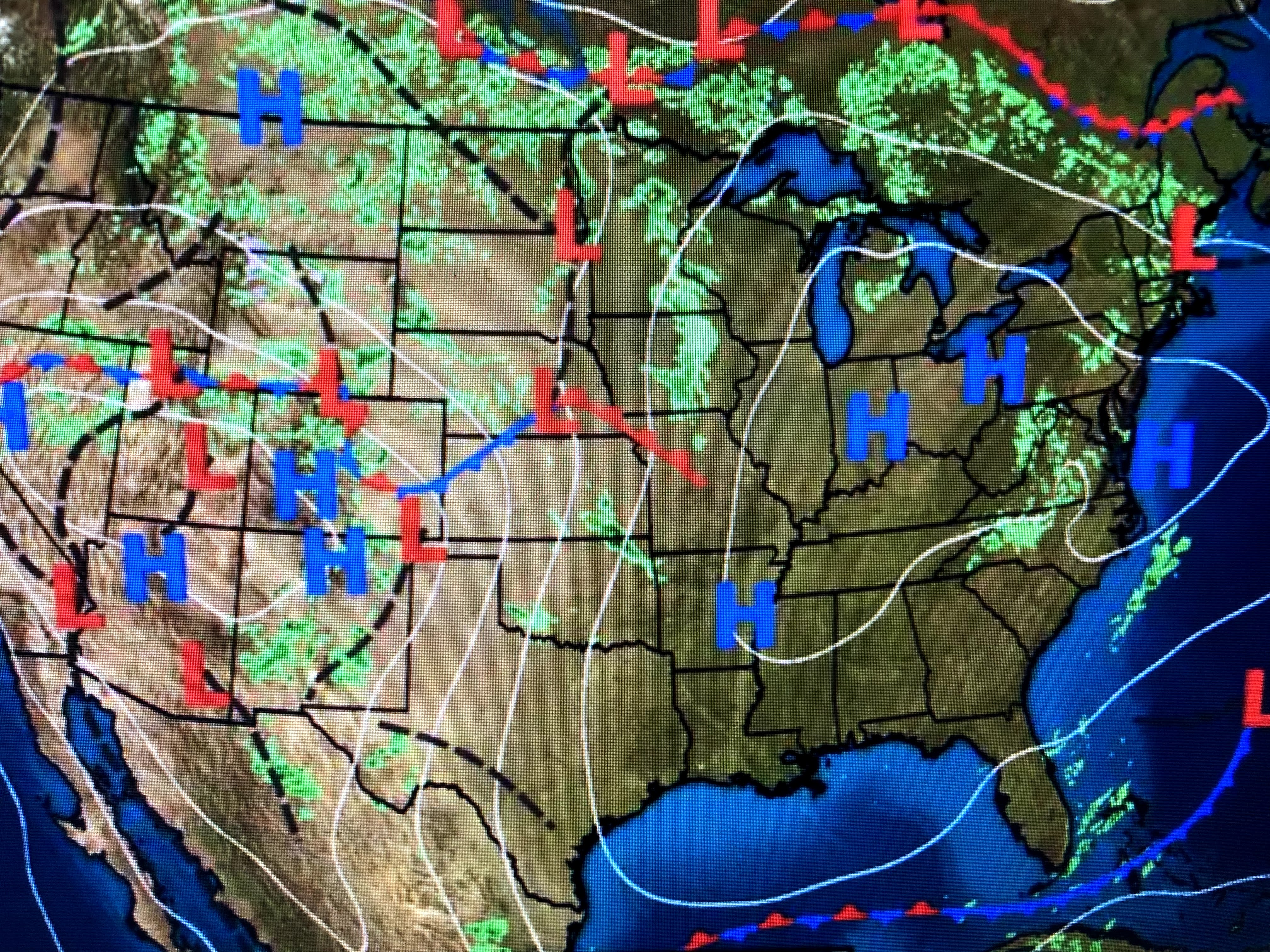


A few puffy clouds have bubbled up during daytime heating, but our rain chances should remain low into Monday. next week looks wetter, but the models focus/center the core of the heavier rains in Texas & Oklahoma where 7 day totals could reach 3-5"+.

So after a delightful & needed dry spell, we will see the shower threat return by Monday. These will be spotty showers and not an all day rain event. Since is will be warm & humid, that summer time feel will be back.


I may not have computer access for the next several days, but will be back on line by next Wednesday. If something should spring up, I'll post before then. Enjoy your weekend and stay tuned!

4 comments:
Thank you
We need to buy Bob a laptop so he can ALWAYS have computer access!
🤗🤗🤗
Good fishing, cuz. And many many more. Thanks for this lovely spring update! Be well. Sally gee, metry
Post a Comment