On last night's tropical weather outlook, NHC (National Hurricane Center) began to highlight an area over the extreme SW Caribbean that computer models hint something might develop. In fact, both the morning runs of the Euro and GFS develop of Tropical Low in the Gulf 10-12days out.
As you can see, there is NOTHING there on today's satellite view. The area highlighted is based on computer model projections. The GFS has a low centered in the eastern Gulf south of the Florida beaches while the Euro has a low farther to the west south of Louisiana. Remember this is 10-12 days from now. Will it happen? Probably not, but NHC wants us to pay attention over that area for NEXT week.
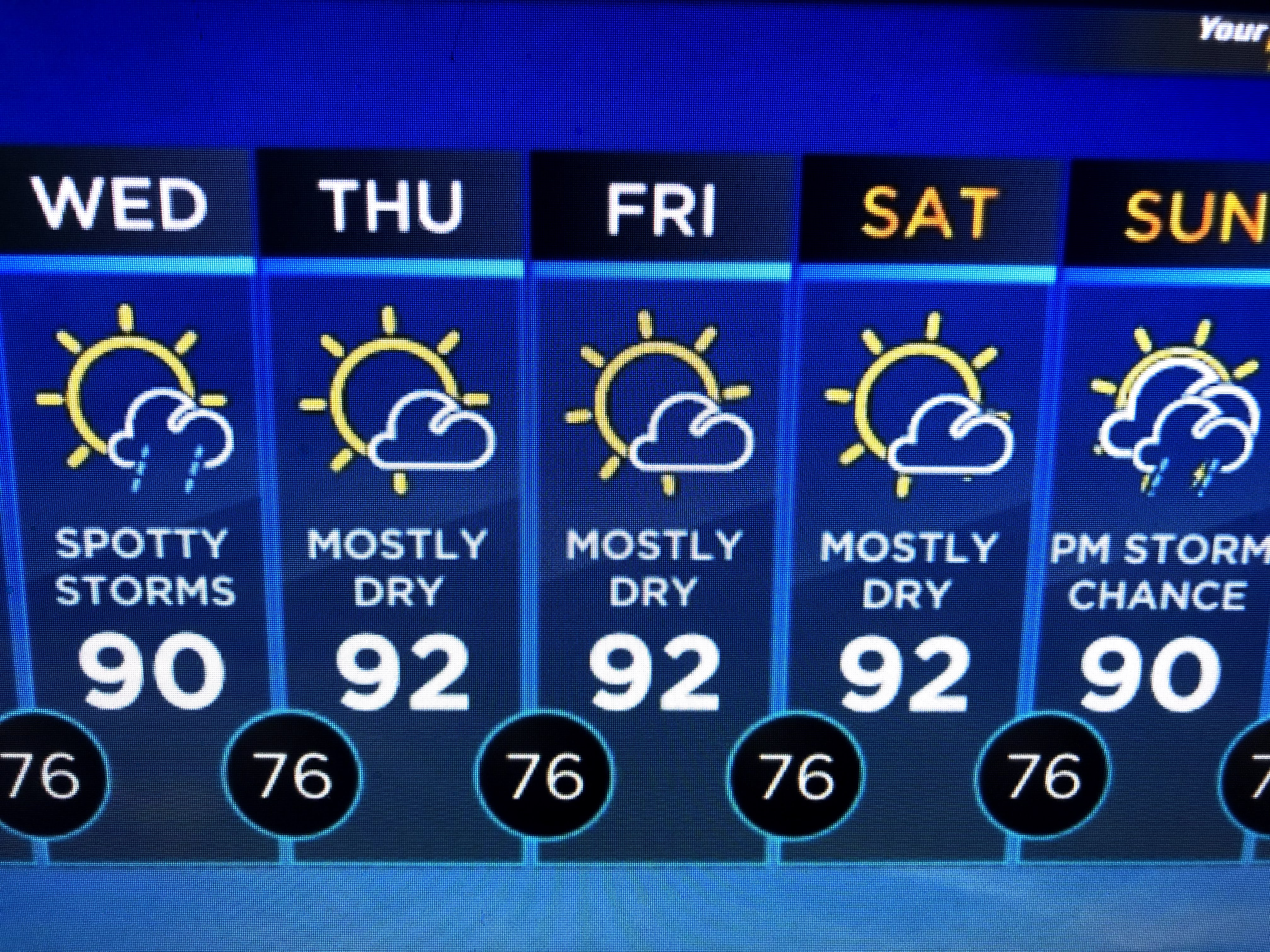
Our local weather is much improved from this weekend's rainy spells. Looking at the surface map, it's not apparent why there are so many showers across the eastern states. The upper low over Texas has finally lifted out with one center in northern Missouri and another over NE Texas.
There are still heavy storms under the upper lows, but most of the activity is well to our north.
Without the clouds and rain, our temps will be back 90+ for most of this summer.
Hope you enjoyed those cool-ish nights in May. They won't be back until October. Stay tuned!.


No comments:
Post a Comment