


The terrific feeling air (dew points in 40s & 50s) across Arkansas will move into north & central Louisiana tonight and wouldn't it be nice to walk outside in the morning to lower humidity?
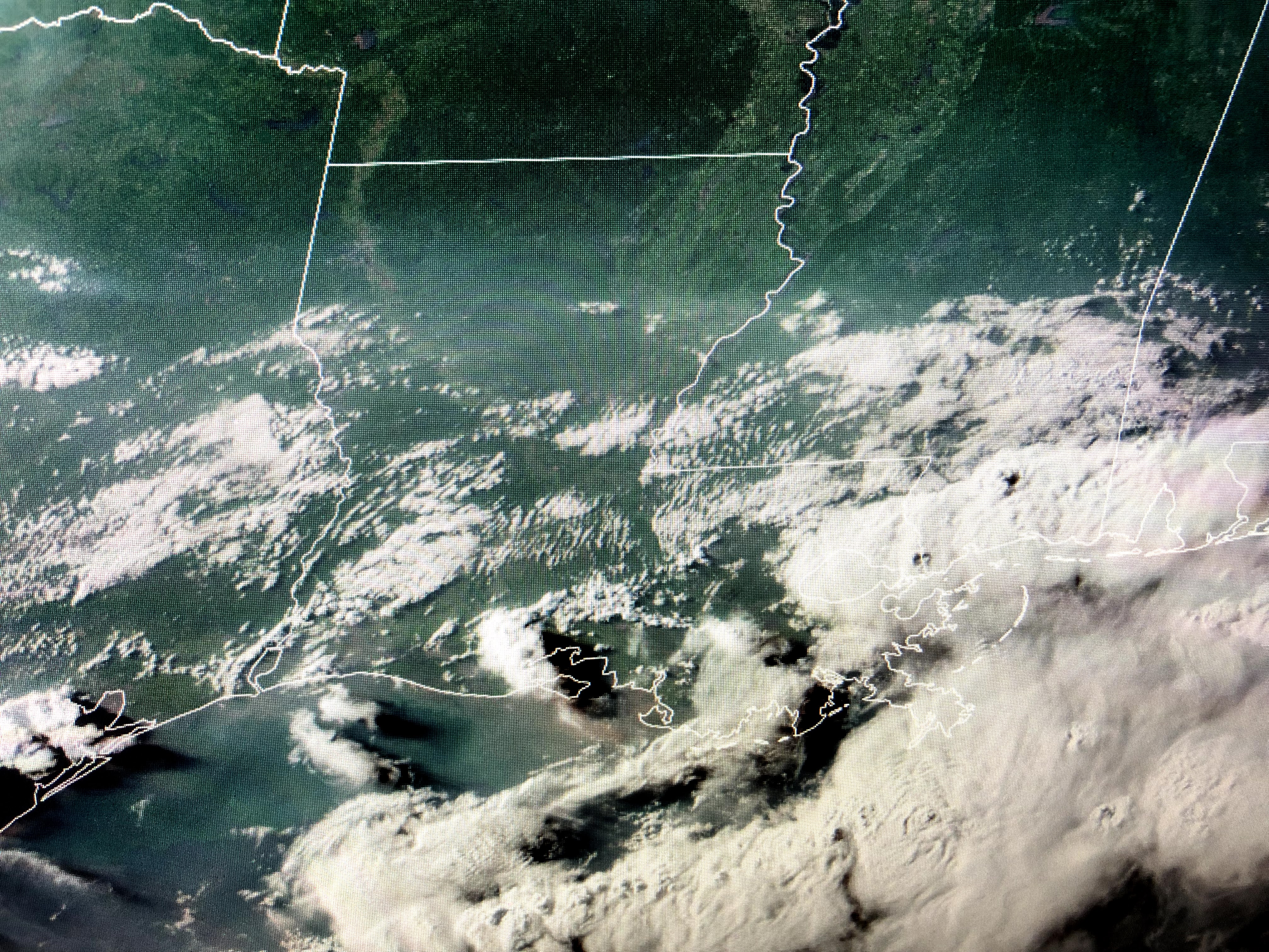
Clouds have cleared north Louisiana and radar shows most of the showers pulling away into Mississippi & Alabama.


The reason this front probably won't make it is seen on the surface weather map where the center of the high is already to our NE. Look at how cool it is over the NE &Great Lakes states...sweet. On the other hand, the West continues to bake waiting for their monsoon season to kick in.


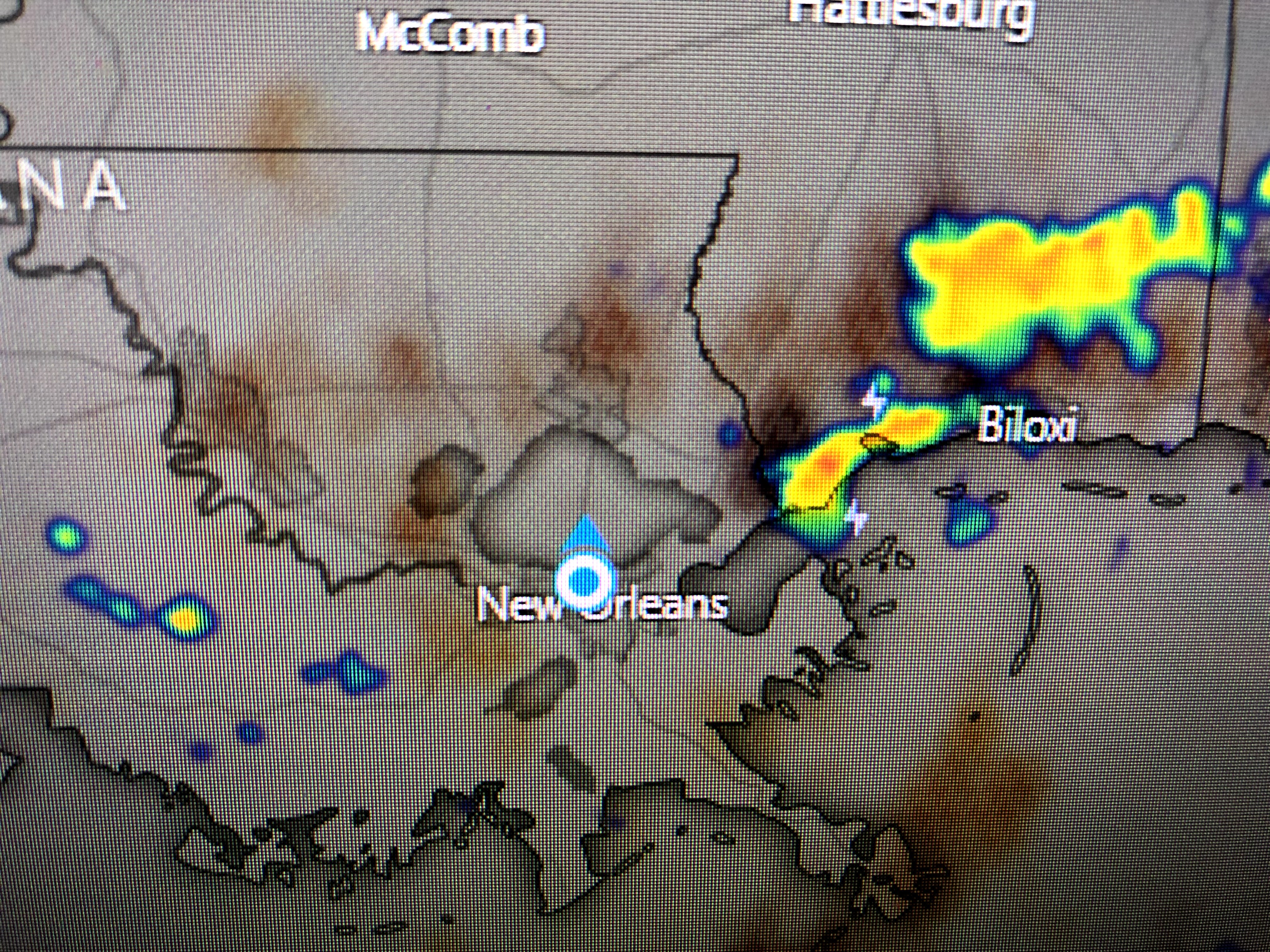
The Tropics have gone dead for this week and the weak wave approaching the islands is now down to a 10% chance fore development. What we should monitor is closer in development along the frontal boundary that may or may not move over the northern Gulf.


The 7 day keeps rain chances in every day. However, if we could get the front to push down into the Gulf, that should mean some drier air could filter in for a day or two. Finally.


No comments:
Post a Comment