


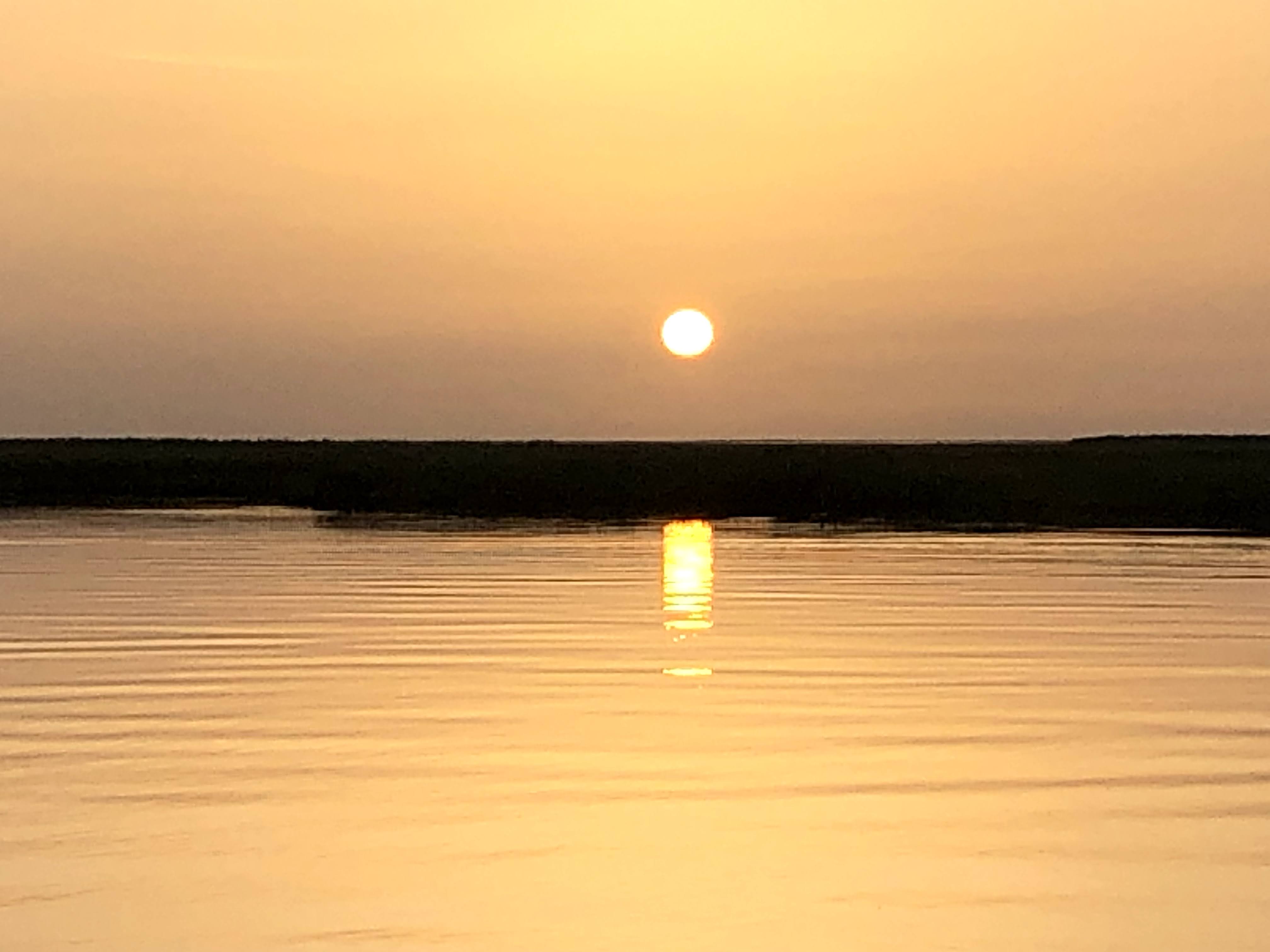
That resulted in fare fewer afternoon storms that were mainly to our west. I knew something had changed when I was out fishing with Captain Hylton and captured this amazing sunrise our of Shell Beach. Not a cloud in the sky and flat out calm winds. When i checked the barometer this afternoon, it was at 30.16" telling me the Bermuda High was back.

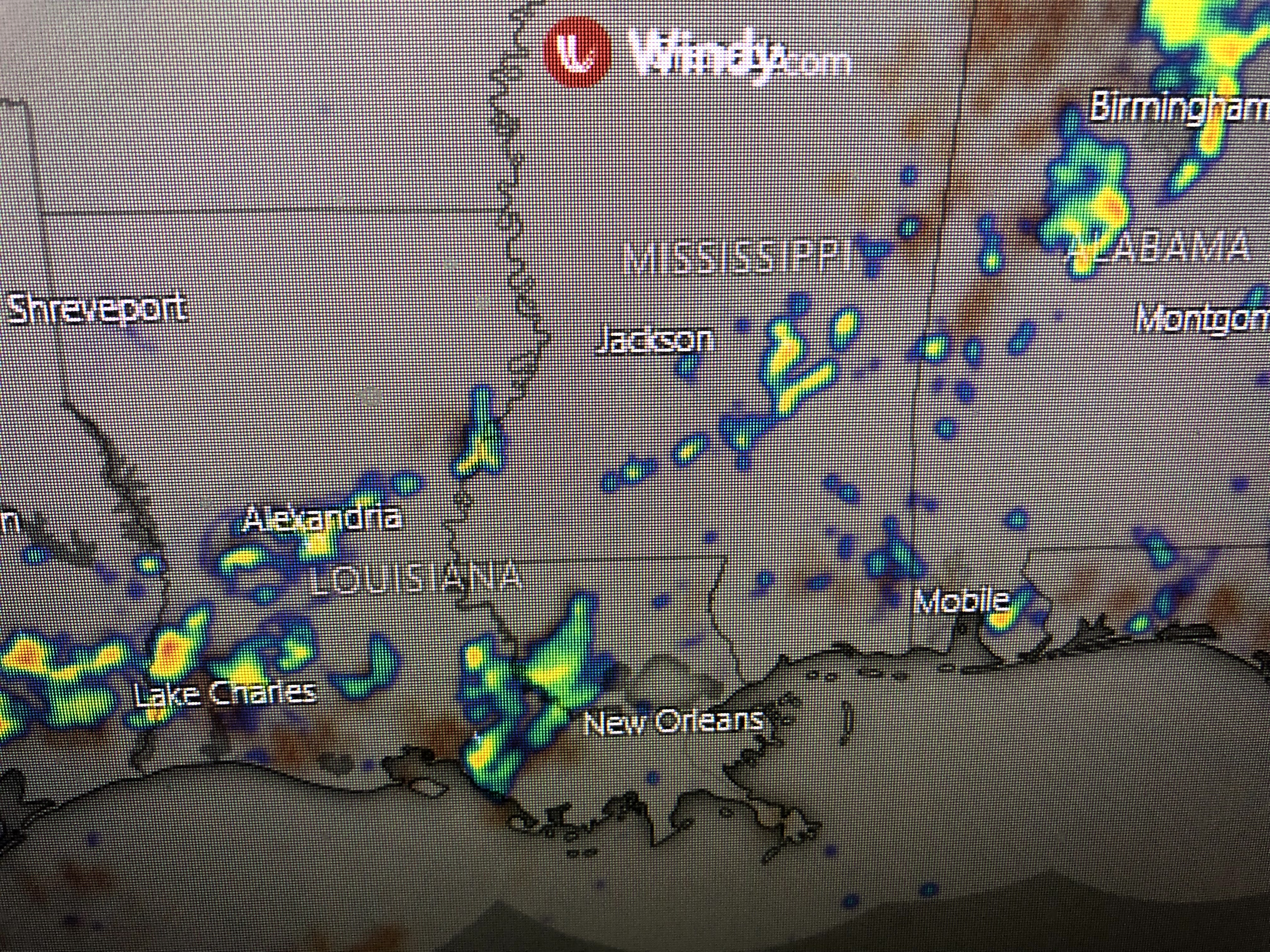

You can see how today's storms formed along the sea breeze front from Texas to Florida. Can we expect this drier pattern to continue? Probably not, but even if we get back to our 30-40% normal summer rain chances, I'd be happy.


One thing not happening yet over most of the eastern states is a prolonged heat wave. The only other thing to watch is something NHC has plotted.


I can't find it on satellite views and it's way far north so it really isn't our concern. The wave train coming off of Africa has shut down so we might just get through the rest of July without any tropical threats. That is not unusual since July is supposed to be a quiet month for tropical disturbances. The heart of the season begins August 10th through October 10th. We has a long way to go before those Fall fronts start coming. Stay tuned!

No comments:
Post a Comment