


You can see how chilly it is up over the Great Lakes while warm air is returning on the back side of the surface high. Clouds have been pushed away from our coast and the next 2 days should see mainly clear skies before some clouds return by Sunday.


With so much repair work continuing after Ida, this stretch of dry weather is just what "the doctor ordered"! We're not done with hot weather as next week gets back into the mid to upper 80s.


The Tropics remain active, but the threats are way out to sea. The main system is Tropical Storm Sam who is projected to become a major Hurricane over the weekend.


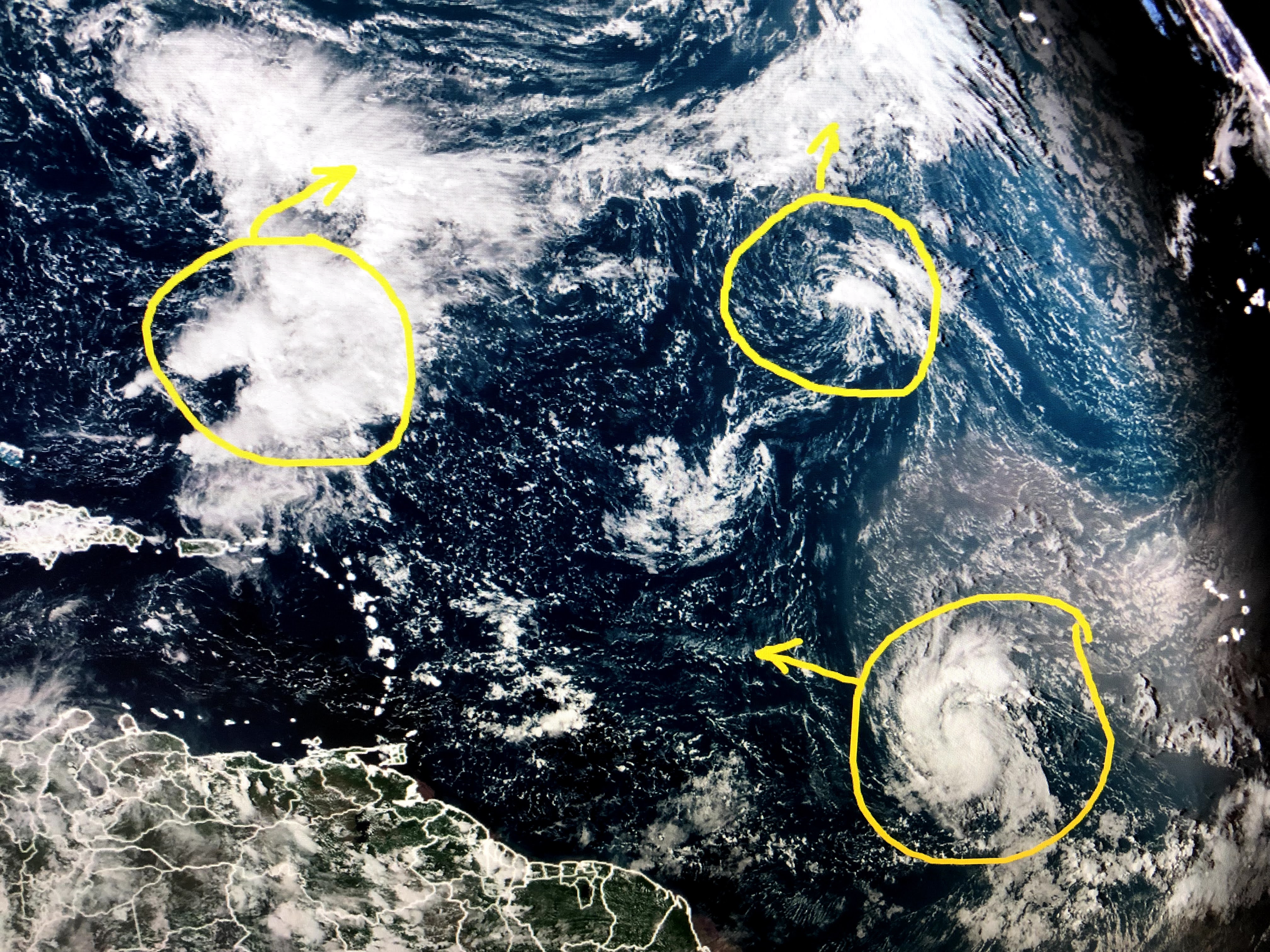

Hopefully Sam will recurve back into the Atlantic away from the U.S. coastline. No model is showing tropical development in the Caribbean or Gulf for the next 7-10 days. That gets us into October when more cold fronts should be coming. I'd rather focus on how nice we are now and enjoy this feel for the next several days. Stay tuned!

1 comment:
Not related to this post, but Here is a great resource on climate change: https://umaine.edu/climatechronology/wp-content/uploads/sites/575/2021/07/Climate-Chronology-January-2021-7262021.pdf?fbclid=IwAR3r9PgGeNpMTKOSJfSYEWyW-wI5nY6mY1QQcQdPV6DNMMv5qQVEh08imy4
Post a Comment