


Where it's been raining, temperatures are much cooler. Models are showing tomorrow could see a repeat. I grabbed these graphics from Bruce's 4 PM program.


So what's going on to give us these daily rain chances? It involves the slow westward motion of an upper low off the East coast. As the low moves farther to the west, it has weakened the upper high that kept us dry for the last weekend of Jazz Fest.

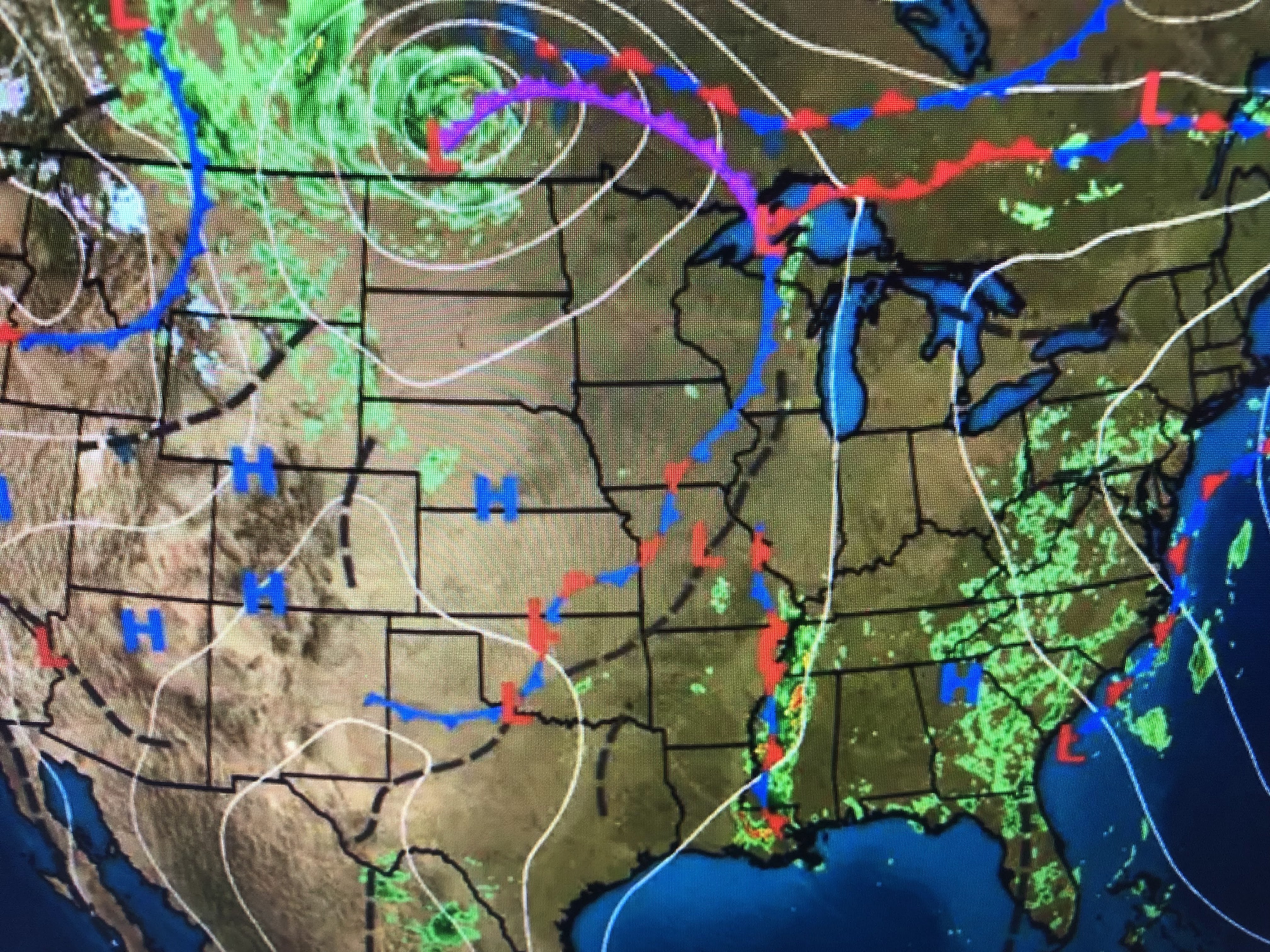

That upper ridge has pumped summer-like warmth way up north with Chicago & Green Bay 90+ with Boston in the upper 80s. A cold front will bring them some relief this weekend.


For us, we don;t get cold fronts anymore. We will continue with higher rain chances tomorrow into Sunday before we dry out again next week.


Finally, long range (10-14 days) computer models are still trying to form Alex over the southern Gulf.


One model brings it from south of western Cuba to the Mexican Coast south of Brownsville. However, another is totally different.


It takes a weaker system over the eastern Gulf into the Florida Panhandle east of the main beaches. Bottom line, 10-14 days out? You can't get nervous until we get within a week or less AND models are consistent in their forecasts. Right now they are not, so I am not getting nervous, nor should you. Stay tuned!

No comments:
Post a Comment